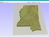
Create Detailed Mississippi Terrain Models with This High-Resolution 3D STL
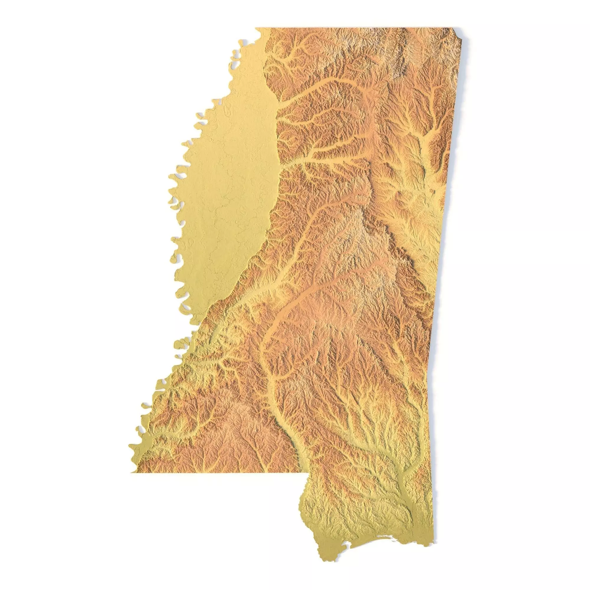
The Mississippi Topographic Map STL model provides a high-resolution depiction of the state’s varied topography and distinctive geographic features. This 3D model is ideal for creating physical relief maps from materials such as wood, metal, plastic, or concrete. Whether for landform visualization, educational projects, or professional GIS applications, this model offers precise elevation data for detailed terrain modeling. It’s perfect for use with 3D printers, CNC machines, and laser engravers.
File size: 739 MB / 369 MBModel size: 158.28 mm x 253.62 mm x 0.414 mmResolution: 0.06 mmProjection: MercatorDatum: Google maps (sphere radius 6378137)EPSG code: 3857Scaling factor: X – 0.0000004; Y – 0.0000004; Z – 0.0000012Number of polygons: 15 514 730Number of vertices: 7 768 786Polygonal mesh: Triangles onlyBase: Open / Closed
Features of the Mississippi Topographic STL Model
Accurate elevation data showcasing Mississippi’s rolling hills, lowlands, and coastal areas.Compatible with FDM/SLA 3D printers for high-quality terrain models.Designed for CNC machining to create relief maps from wood or metal.Supports high-precision laser engraving for metal surface detailing.