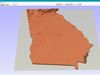
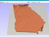
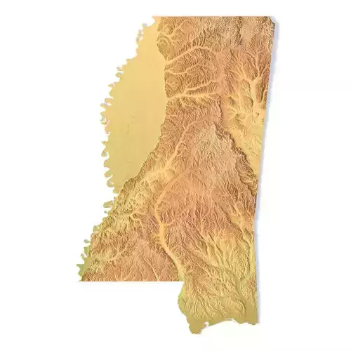
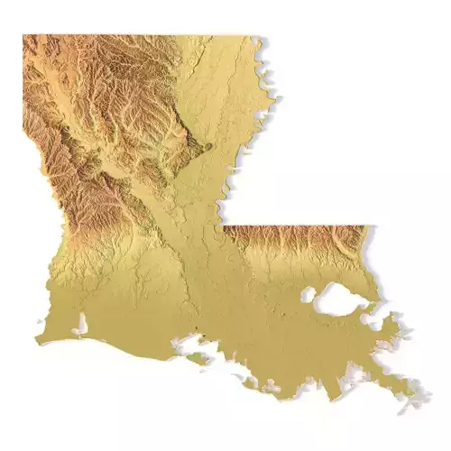
Create Detailed Georgia Terrain Models with This 3D STL File
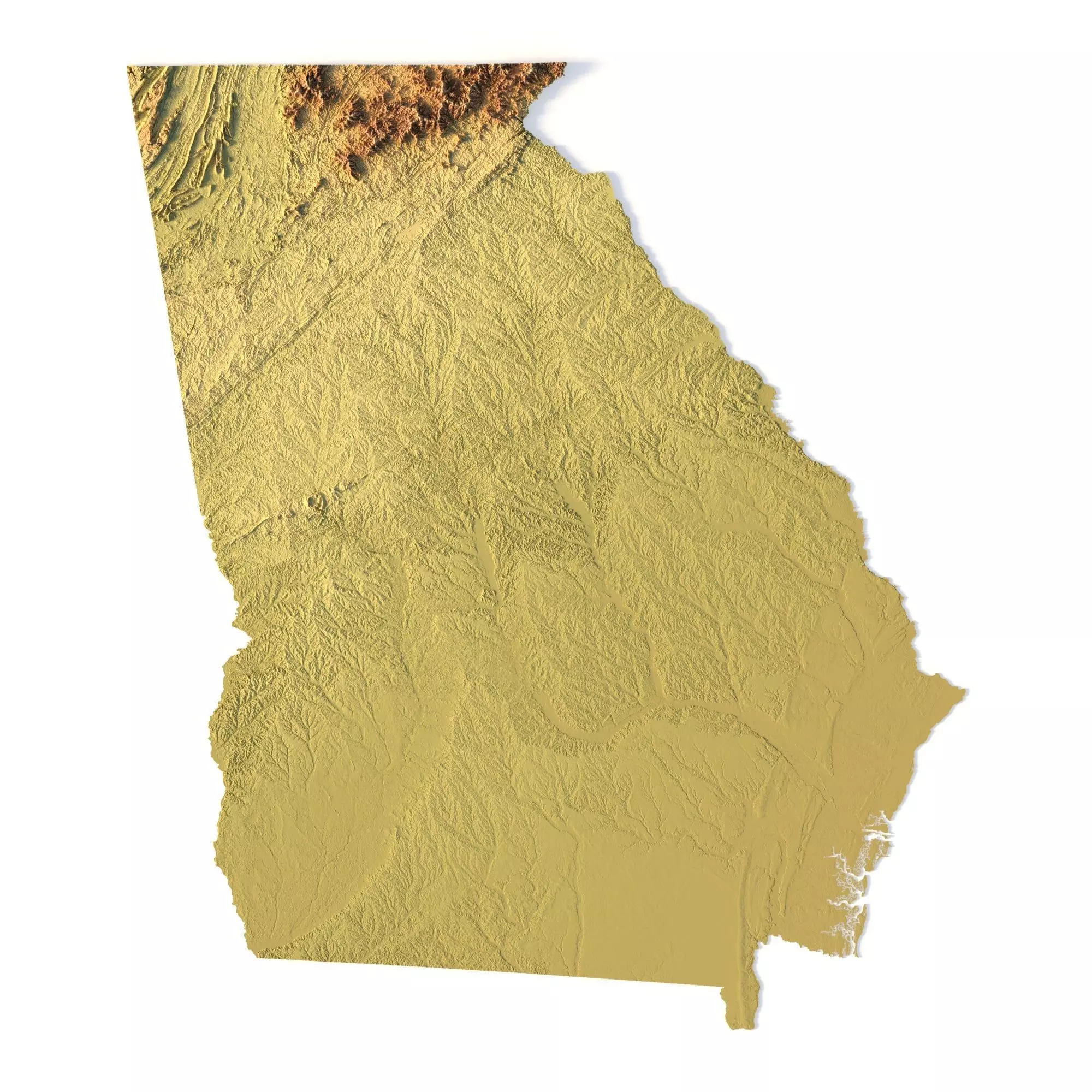
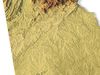
The Topographic Map of Georgia USA STL model offers a highly detailed 3D terrain representation of the state’s diverse landscapes. Perfect for crafting relief maps from materials such as wood, metal, plastic, or concrete, this model is ideal for landform visualization and professional projects in cartography or geospatial data analysis. With precise contour lines and accurate elevation models, it’s suitable for both educational and professional use.
- File size: 911 MB / 454 MB
- Model size: 212.04 mm x 244.44 mm x 1.851 mm
- Resolution: 0,06 mm
- Projection: Mercator
- Scaling factor: X — 1; Y — 1; Z — 3
- Polygons: 19 115 160
- Vertices: 9 574 200
- Geometry: Polygonal Tris only
- Base: Open / Closed**Features of the Georgia Topographic STL Model**
Compatible with FDM/SLA 3D printers for physical model creation.Supports CNC machining for wood or metal topographic models.Ideal for high-precision laser engraving on metal surfaces.