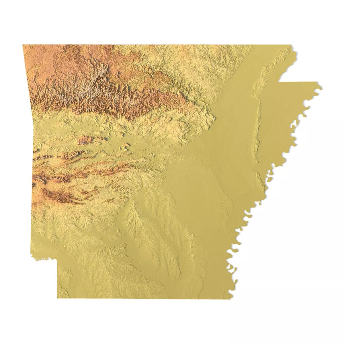
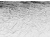
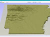
Create Detailed Arkansas Terrain Models with This High-Resolution 3D STL
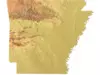
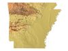
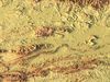
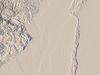
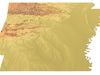
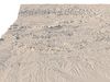
The Arkansas Topographic Map STL model provides a high-resolution representation of the state’s topography and geographic features. Perfect for creating physical relief maps from wood, metal, plastic, or concrete, this 3D model offers detailed accuracy for a variety of uses, including landform visualization, education, and professional GIS projects. Whether you’re using a 3D printer, CNC machine, or laser engraver, this model ensures precise terrain representation.
• Format: STL• Files size: 867 MB / 450 MB• Polygons: 18 188 670• Vertices: 9 104 309• Geometry: Polygonal Tris only • Model size: 221.34 mm x 188.58 mm x 1.124 mm• Distance between two neighboring vertices: ~ 0,06 mm• Projection: Mercator• Scaling factor X:Y:Z: 1:1:3• Base: Open / Closed
Features of the Arkansas Topographic STL Model
• Detailed elevation data capturing Arkansas’ diverse landforms.• Compatible with FDM/SLA 3D printers for creating accurate terrain models.• Designed for CNC machining to craft wood or metal relief maps.• Supports high-precision laser engraving for metal surface detailing.