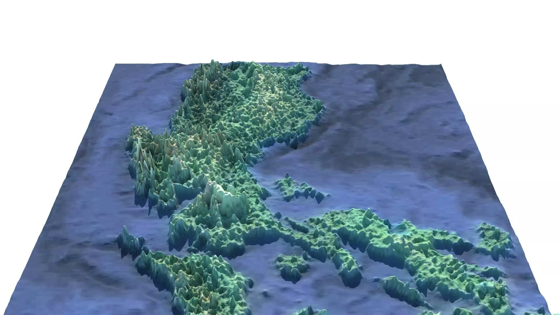
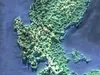
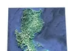
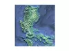
DescriptionLuzon is the largest and most populous island in the Philippines. Located in the northern portion of the Philippine archipelago, it is the economic and political center of the nation, being home to the country's capital city, Manila, as well as Quezon City, the country's most populous city. With a population of 64.3 million as of 2024, it contains 55 percent of the country's total population and is the 4th most populous island in the world. It is the 15th largest island in the world by land area. Luzon may also refer to one of the three primary island groups in the country. In this usage, it includes the Luzon Mainland, the Batanes and Babuyan groups of islands to the north, Polillo Islands to the east, and the outlying islands of Catanduanes, Marinduque and Mindoro, among others, to the south. The islands and provinces of Masbate, Palawan and Romblon are also included, although these three are sometimes grouped with another of the island groups, the Visayas. The name Luzon is thought to derive from lusong, a Tagalog word referring to a particular kind of large wooden mortar used in dehusking rice.[5][6] A 2008 research paper by Eulito Bautista and Evelyn Javier provides an image of a lusong, explaining: Traditional milling was accomplished in the 1900s by pounding the palay with a wooden pestle in a stone or wooden mortar called lusong. The first pounding takes off the hull and further pounding removes the bran but also breaks most grains. Further winnowing with a bamboo tray (bilao) separates the hull from the rice grains. This traditional hand-pounding chore, although very laborious and resulted in a lot of broken rice, required two to three skilled men and women to work harmoniously and was actually a form of socializing among young folks in the villages. In old Latin, Italian, and Portuguese maps, the island is often called Luçonia or Luconia.
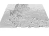
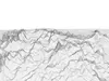
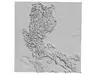
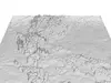
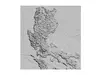
GeographyNorthern Luzon consists of 3 clusters in three regions, the Ilocos Region, the Cordillera Administrative Region and the Cagayan Valley. The northwestern portion of the island, which encompasses most of the Ilocos Region, is characterized by a flat terrain extending east from the coastline toward the Cordillera Central mountains. The Cordillera mountain range, which feature the island's north-central section, is covered in a mixture of tropical pine forests and montane rainforests, and is the site of the island's highest mountain, Mount Pulag, rising at 2,922 metres. The range provides the upland headwaters of the Agno River, which stretches from the slopes of Mount Data, and meanders along the southern Cordillera mountains before reaching the plains of Pangasinan. The northeastern section of Luzon is generally mountainous, with the Sierra Madre, the longest mountain range in the country, abruptly rising a few miles from the coastline. Located in between the Sierra Madre and the Cordillera Central mountain ranges is the large Cagayan Valley. This region, which is known for being the second largest producer of rice and the country's top corn-producer, serves as the basin for the Cagayan River, the longest in the Philippines. Along the southern limits of the Cordillera Central lies the lesser-known Caraballo Mountains. These mountains form a link between the Cordillera Central and the Sierra Madre mountain ranges, separating the Cagayan Valley from the Central Luzon plains.
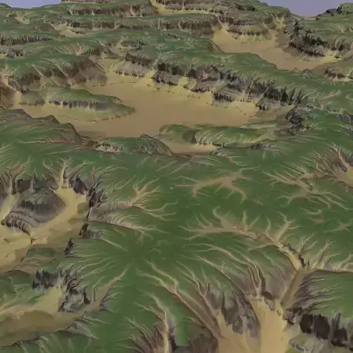
Texture Resolution: 498 x 577