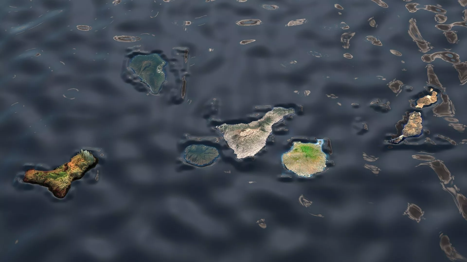
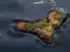
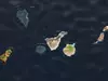
DescriptionThe Canary Islands or Canaries are an archipelago in the Atlantic Ocean and the southernmost autonomous community of Spain, located about 100 kilometres (60 mi) off the northwest coast of Africa. Historically, the island chain was referred to as the Fortunate Isles. The Canary Islands are the southernmost and westernmost region of Spain as well as the largest and most populous archipelago of Macaronesia. They are also the largest and most populated archipelago in Spain. Owing to their strategic location, the Canary Islands have long been considered a link between Africa, Europe, and the Americas. In October 2025, the Canary Islands had a population of 2,268,035, with a density of 305 inhabitants per km2, making them the seventh most populous autonomous community in Spain and the third-highest in population density, behind only Madrid and the Basque Country. The population is mostly concentrated on the two capital islands, with around 43% on Tenerife and 39% on Gran Canaria. In 2026, the Canary Islands are expected to have a nominal GDP of €64.123 billion, resulting in a GDP per capita of €28,272. The Canary Islands, especially Tenerife, Gran Canaria, Fuerteventura, and Lanzarote, are a major tourist destination, with over 14.1 million visitors in 2023. This is due to their beaches, subtropical climate, and important natural attractions, especially Maspalomas in Gran Canaria and Mount Teide, a World Heritage Site in Tenerife. Mount Teide is the highest peak in Spain and the 3rd tallest volcano in the world, measured from its base on the ocean floor. The islands have warm summers and winters warm enough for the climate to be technically tropical at sea level. The amount of precipitation and the level of maritime moderation vary depending on location and elevation. The archipelago includes green areas as well as semi-desert. The islands' high mountains are ideal for astronomical observation, because they lie above the temperature inversion layer. As a result, the archipelago has two professional astronomical observatories: the Teide Observatory on Tenerife, and Roque de los Muchachos Observatory on La Palma. In 1927, the Province of Canary Islands was split into two provinces, Santa Cruz de Tenerife and Las Palmas. In 1982, the autonomous community of the Canary Islands was established. The cities of Santa Cruz de Tenerife and Las Palmas de Gran Canaria are, jointly, the capitals of the islands. Those cities are also, respectively, the capitals of the provinces of Santa Cruz de Tenerife and Las Palmas. Las Palmas de Gran Canaria has been the largest city in the Canaries since 1768, except for a brief period in the 1910s. Between the 1833 territorial division of Spain and 1927, Santa Cruz de Tenerife was the sole capital of the Canary Islands. In 1927, it was ordered by decree that the capital of the Canary Islands would be shared between two cities, and this arrangement persists to the present day. The third largest city in the Canary Islands is San Cristóbal de La Laguna, another World Heritage Site on Tenerife. During the Age of Sail, the islands were the main stopover for Spanish galleons during the Spanish colonisation of the Americas, which sailed that far south in order to catch the prevailing northeasterly trade winds.
IslandsThe archipelago has a population of approximately 2.27 million inhabitants, making it the most populous overseas special territory of the European Union. The seven main islands, listed from largest to smallest by area, are Tenerife, Fuerteventura, Gran Canaria, Lanzarote, La Palma, La Gomera, and El Hierro. The only other inhabited island is La Graciosa, which is administratively dependent on Lanzarote. The archipelago also includes numerous smaller islands and islets, such as Alegranza, Isla de Lobos, Montaña Clara, Roque del Oeste, and Roque del Este, as well as various rocks, including Garachico and Anaga.
GeographyTenerife is the largest and most populous island of the archipelago. Gran Canaria, with 865,070 inhabitants, is both the Canary Islands' second most populous island, and the third most populous one in Spain after Tenerife (966,354 inhabitants) and Mallorca (896,038 inhabitants). The island of Fuerteventura is the second largest in the archipelago and located 100 km (62 mi) from the African coast. The islands form the Macaronesia ecoregion with the Azores, Cape Verde, Madeira, and the Savage Isles. The Canary Islands constitute the largest and most populated archipelago of the Macaronesia region. The archipelago has seven large and several smaller islands, all of which are volcanic in origin. According to the position of the islands with respect to the north-east trade winds, the climate can be mild and wet or very dry. Several native species form laurisilva forests. The individual islands in the Canary archipelago tend to have distinct microclimates. Those islands such as El Hierro, La Palma and La Gomera lying to the west of the archipelago have a climate which is influenced by the moist Canary Current. They are well vegetated even at low levels and have extensive tracts of sub-tropical laurisilva forest. Travelling east toward the African coast, the influence of the current diminishes, and the islands become increasingly arid. Fuerteventura and Lanzarote, the islands which are closest to the African mainland, are effectively desert or semi-desert. Gran Canaria is known as a continent in miniature for its diverse landscapes like Maspalomas and Roque Nublo. The north of Tenerife lies under the influence of the moist Atlantic winds and is well vegetated. The south of the island around the tourist resorts of Playa de las Américas and Los Cristianos is arid. The island rises to almost 4,000 m (13,000 ft) above sea level. At altitude, in the cool relatively wet climate, forests of the endemic pine Pinus canariensis thrive. Many of the plant species in the Canary Islands, like the Canary Island pine and the dragon tree, Dracaena draco are endemic, as noted by Sabin Berthelot and Philip Barker Webb in their work, L'Histoire Naturelle des Îles Canaries (1835–50).
ClimateThe Canary Islands are considered tropical and generally arid, moderated by the sea and in summer by the trade winds. It is the northernmost location with a tropical climate, having all its monthly average temperatures above 18° C/64.4° F There are a number of microclimates and the classifications range mainly from semi-desert to desert. The majority of the Canary Islands have a hot desert climate (BWh) and a hot semi-desert climate (BSh) within the Köppen system, caused partly due to the cool Canary Current. A subtropical humid climate, which is very influenced by the ocean, is in the middle of the islands of La Gomera, Tenerife and La Palma, where laurisilva cloud forests grow.
Texture Resolution: 800 x 522, 658 x 707, 3621 x 3520, 6000 x 4500, 1948 x 1946, 3566 x 3564, 425 x 365