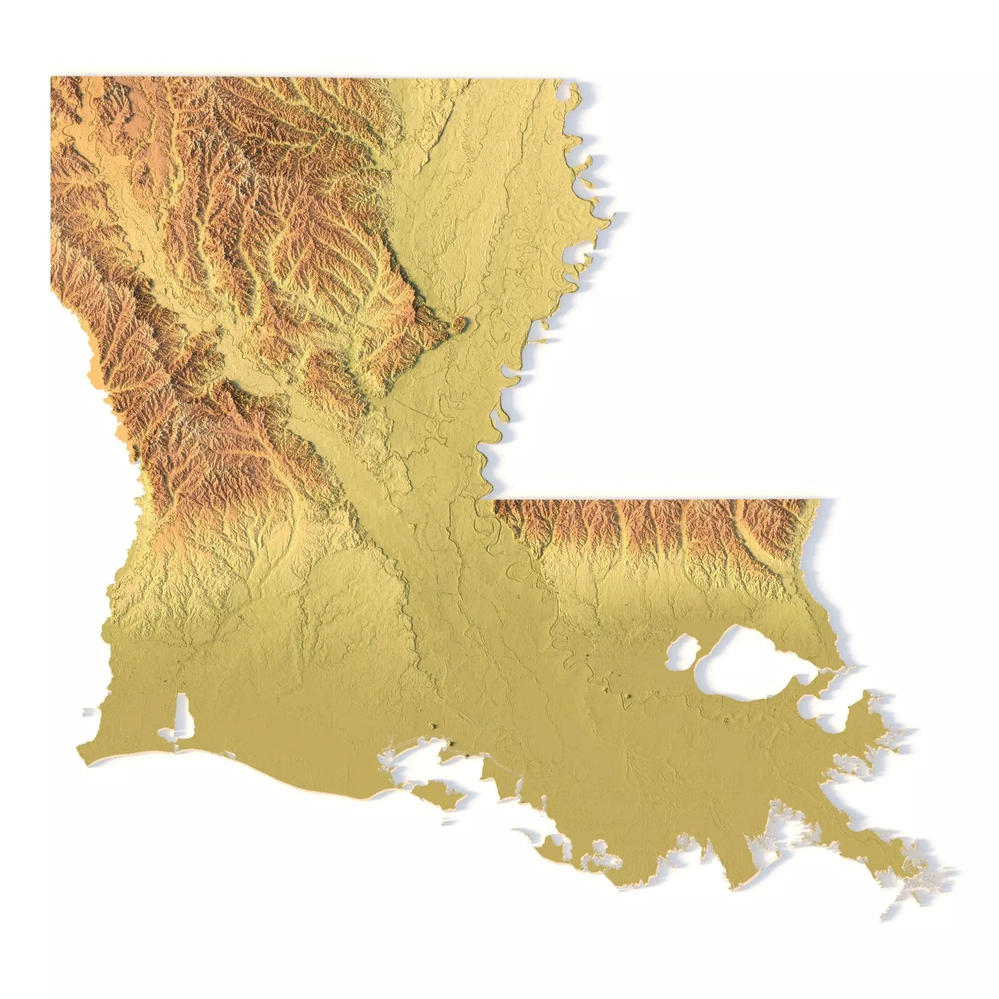
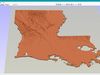
Create Detailed Louisiana Terrain Models with This High-Resolution 3D STL
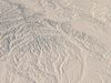
The Louisiana Topographic Map STL model provides a high-resolution representation of the state’s unique topography and geographic features. This 3D model is ideal for creating physical relief maps from materials such as wood, metal, plastic, or concrete. Whether you need it for landform visualization, educational projects, or professional GIS applications, this model offers accurate elevation data for precise terrain modeling. Perfect for 3D printing, CNC machining, and laser engraving.
- File size: 688 MB / 492 MB
- Model size: 224.04 mm x 211.26 mm x 0.312 mm
- Resolution: 0,06 mm
- Projection: Mercator
- Scaling factor: X — 1; Y — 1; Z — 3
- Polygons: 14 429 782
- Vertices: 7 246 929
- Geometry: Polygonal Tris only
- Base: Open / Closed
Features of the Louisiana Topographic STL Model
Accurate elevation data reflecting Louisiana’s flatlands, coastal regions, and diverse landforms.Compatible with FDM/SLA 3D printers for high-quality terrain models.Designed for CNC machining to craft relief maps from wood or metal.Supports high-precision laser engraving for metal surface detailing.