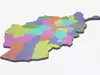
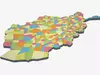
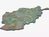
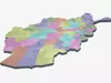
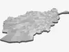
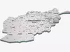
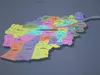
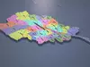
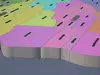
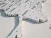
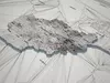
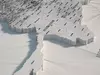
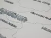

DESCRIPTION

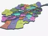
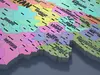
This model has been meticulously optimized for efficient editing and dynamic visualization. The scene is designed with a highly organized workflow, providing powerful flexibility and convenient control for professional users.

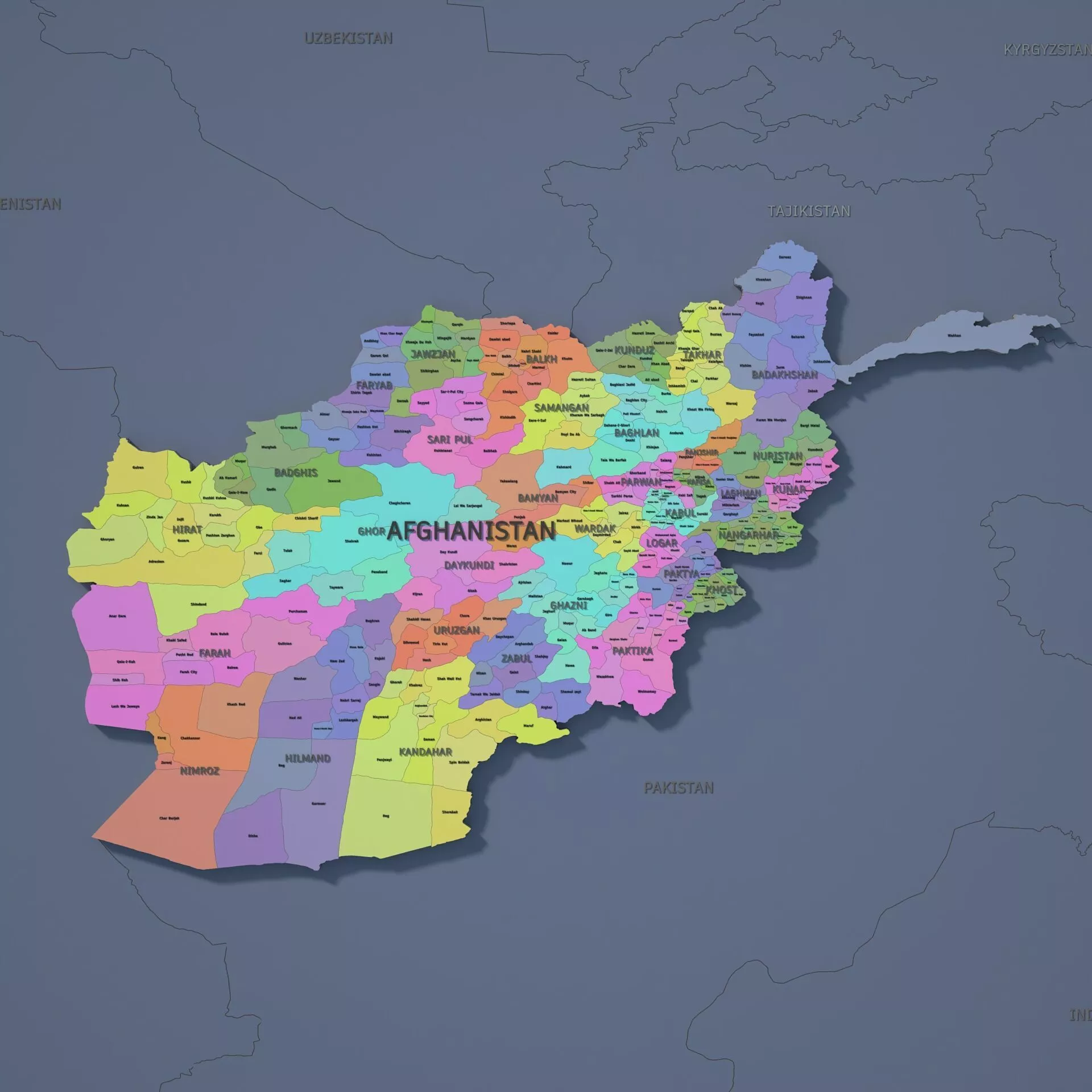
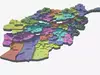
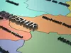
Clear Structure & Efficient ManagementAll objects are professionally named and systematically organized into well-structured layers. Each administrative region is modeled as an independent object, named after its real-world designation, and includes a dedicated text label model. You can easily control the visibility of any element through layer management.

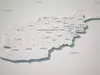
100% Fully Editable WorkflowAll objects in the scene are provided as fully editable splines, or text-based shapes with Bevel modifiers applied. You can freely adjust modifier parameters, use splines as animation paths, or convert geometry into editable meshes for further customization and advanced editing.

Text Editing & Multilingual Switching (Bonus Script Included)We developed a dedicated 3ds Max script tool: “Map Text Batch Edit & Language Switcher”. It allows you to batch-edit the font and size of multiple text objects in the scene with a single click.The text models include translations in 32 languages (including Chinese, English, French, German, Spanish, Korean, Japanese, Persian, Arabic, and more), enabling seamless one-click language switching and saving significant time on localization and layout adjustments.

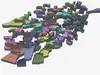
One-Click Dynamic Height Animation (Bonus Script Included)Since every administrative region is modeled as an independent object, you can easily move, edit, and animate each region individually. To further improve animation efficiency, we created the “Map Height Control Master” script, which allows you to create impressive 3D extruded map animations—such as stepped elevation effects and vertical rise/fall presentations—with just one click.

Rich Material Color PresetsThe scene includes 5 carefully designed material color schemes. You can instantly switch between different visual styles according to project requirements, or easily customize the colors to create your own unique presentation style.

REVIEWS & COMMENTS

See what other buyers think about this model - real feedback on quality,
accuracy, and usability.
There are no reviews or comments yet. Please be the first one to write it.
BEST PRICE GUARANTEED
Found this model cheaper on another marketplace? Let our support team know - we’ll match it.
NEW
Recently added to CGTrader - explore one of the latest models on the marketplace.

Afghanistan Admin 2 3D Map - LatLong Low-poly 3D model

$119.00
Royalty Free License
Created by
Hire
Like this model to show appreciation to the designer.
See how many times this model was viewed.
Share this model to support the designer and boost their visibility.
Native file format
MAX2 files
Size: 23.9 MB
V-Ray 6.0
Default (Scanline)
Exchange formats
FBX
Autodesk FBX<br />File Size: 40.3 MB
PNG
PNG<br />File Size: 3.75 MB
MS
3ds Max macroScript<br />File Size: 1.02 MB
Provided by designer
Information and details shared directly by the model's designer.
3D Features
The model includes animations (movement or actions) that can be played in supported software or engines.
Textures
The model includes image files (textures) that add color, patterns, or detail to its surfaces.
Materials
The model has material settings that define how surfaces look (color, shine, transparency, etc.).
UV Mapping
The model's surfaces are mapped to a 2D image, allowing textures to display correctly.
Plugins Used
Some external plugins were used to create the model. These may be required for full functionality.
3D printing
Indicates whether the designer marked this model as suitable for 3D printing.
Model is not 3D printable
The designer indicates this model is intended for digital use only (rendering, animation, or AR/VR) and not for 3D printing.
Geometry
Polygon mesh
A model built from polygons (triangles or quads) connected in a mesh.
1967400 polygons
The total number of polygons (flat shapes) that make up the 3D model.
/
988508 vertices
The number of points (corners) that define the shape of the model's polygons.
Unwrapped UVs
Publish date
Model ID
Chat