Beijing

Beijing 3D Model Collection

The collection consists of:3 models total
3D Model
Low-poly
PBR
.dwg
.fbx
.c4d
.dxf
.ma
.mb
.obj
.3dm
.skp
.max
.blend
.dae
.mtl
.unitypackage
.prefab
        
       
Description

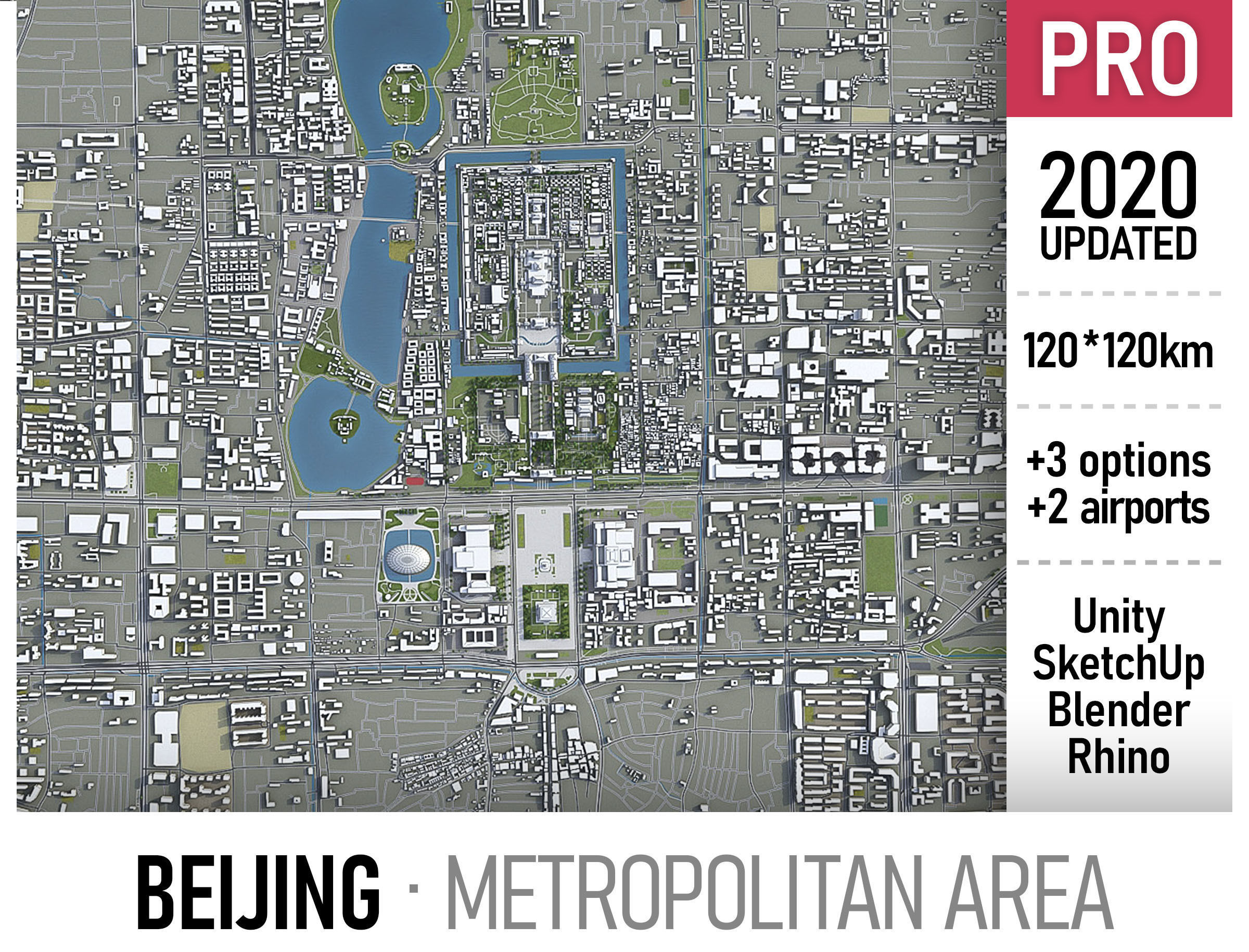
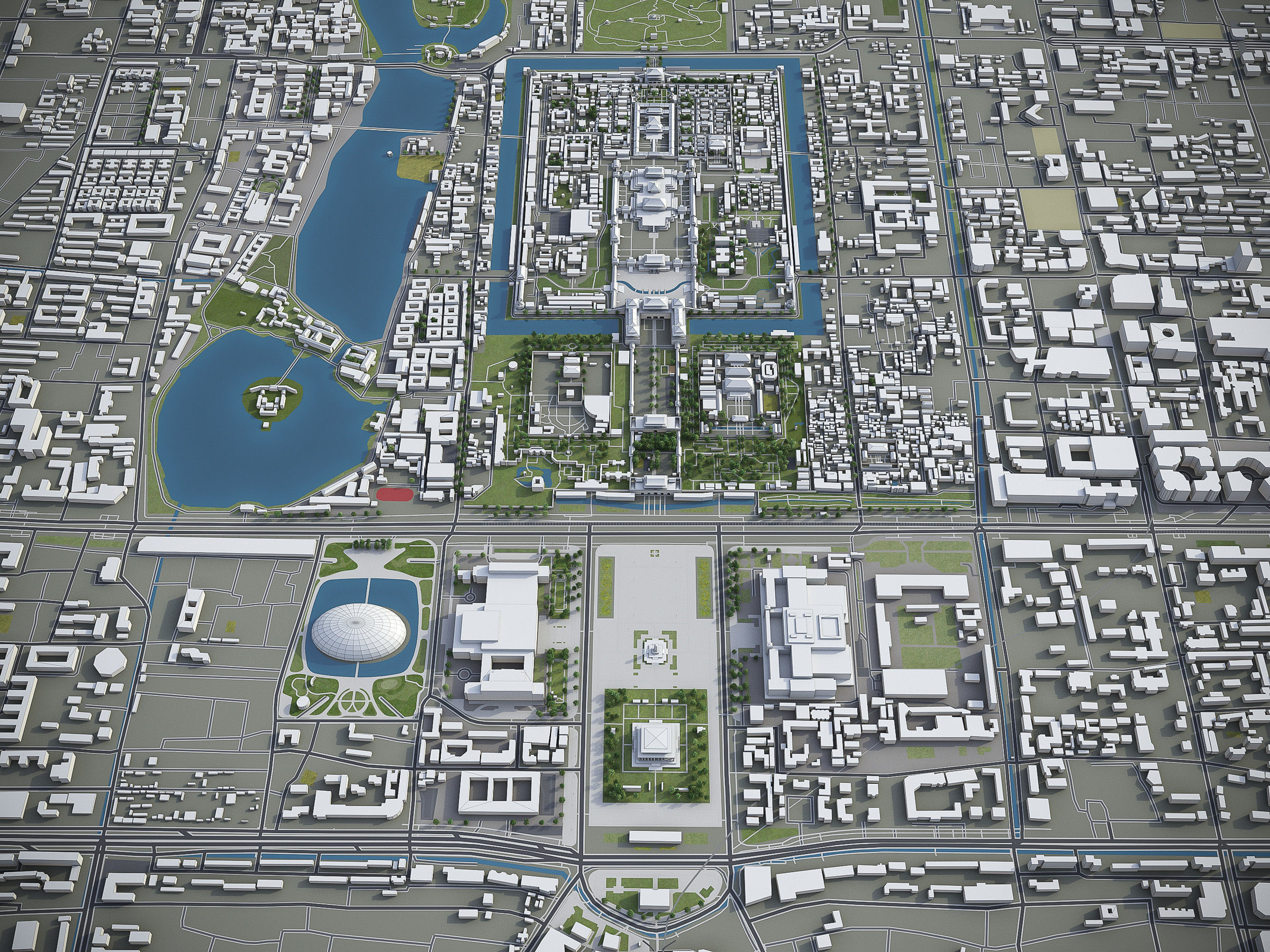
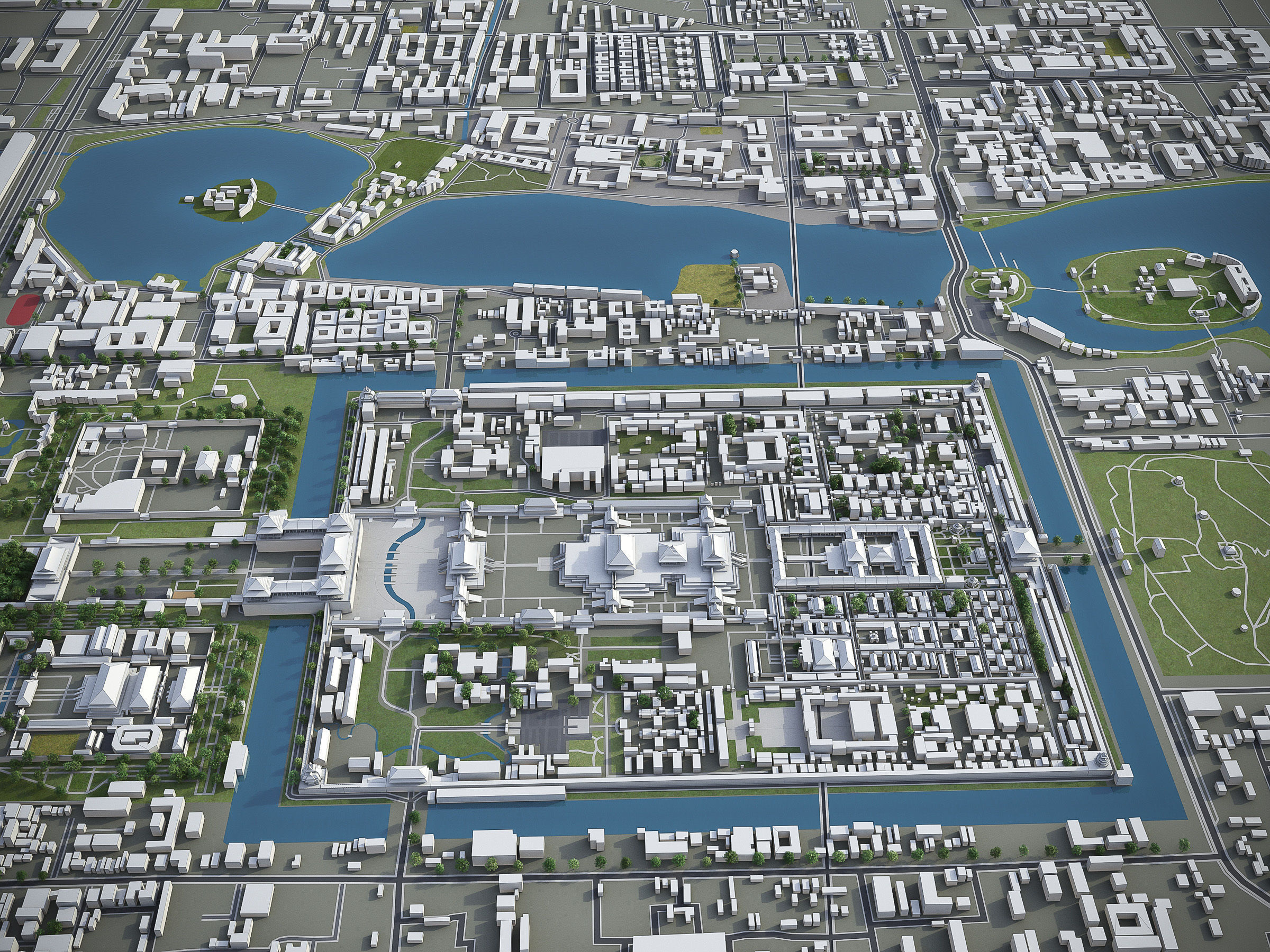
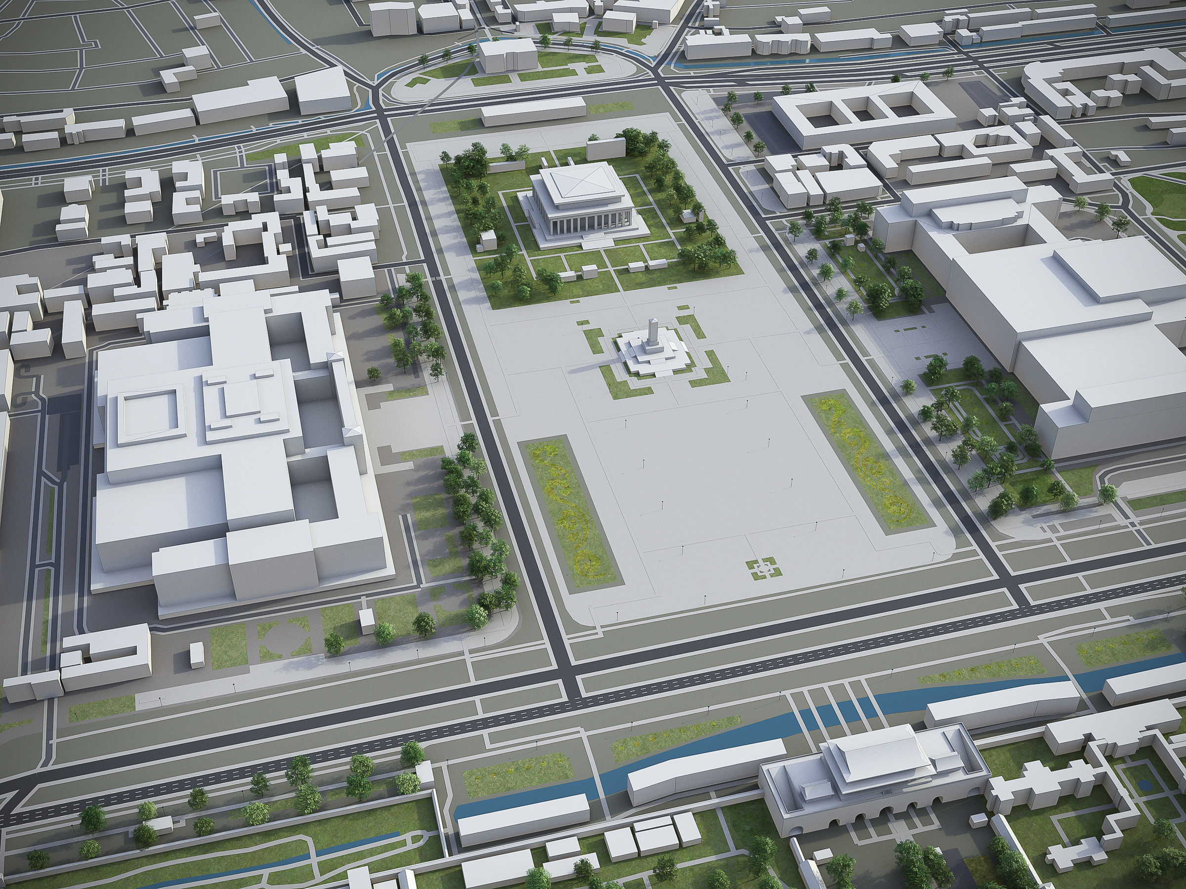
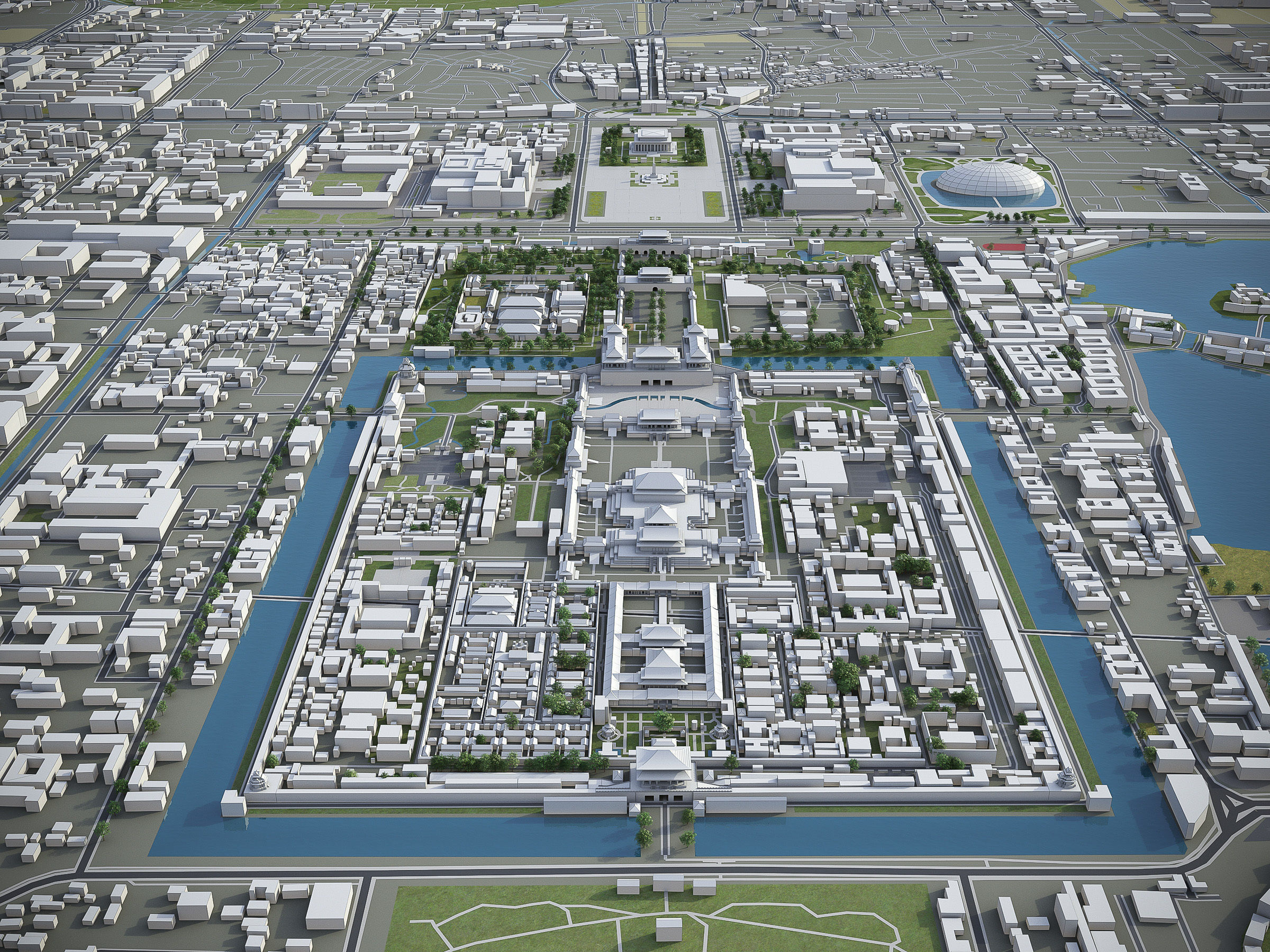
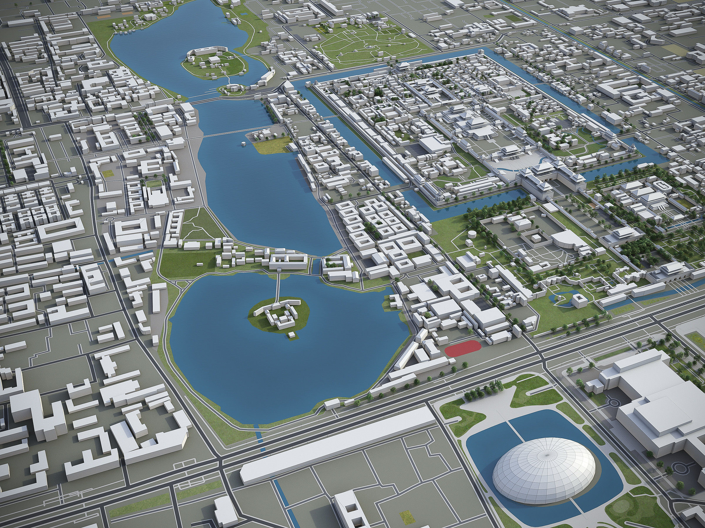
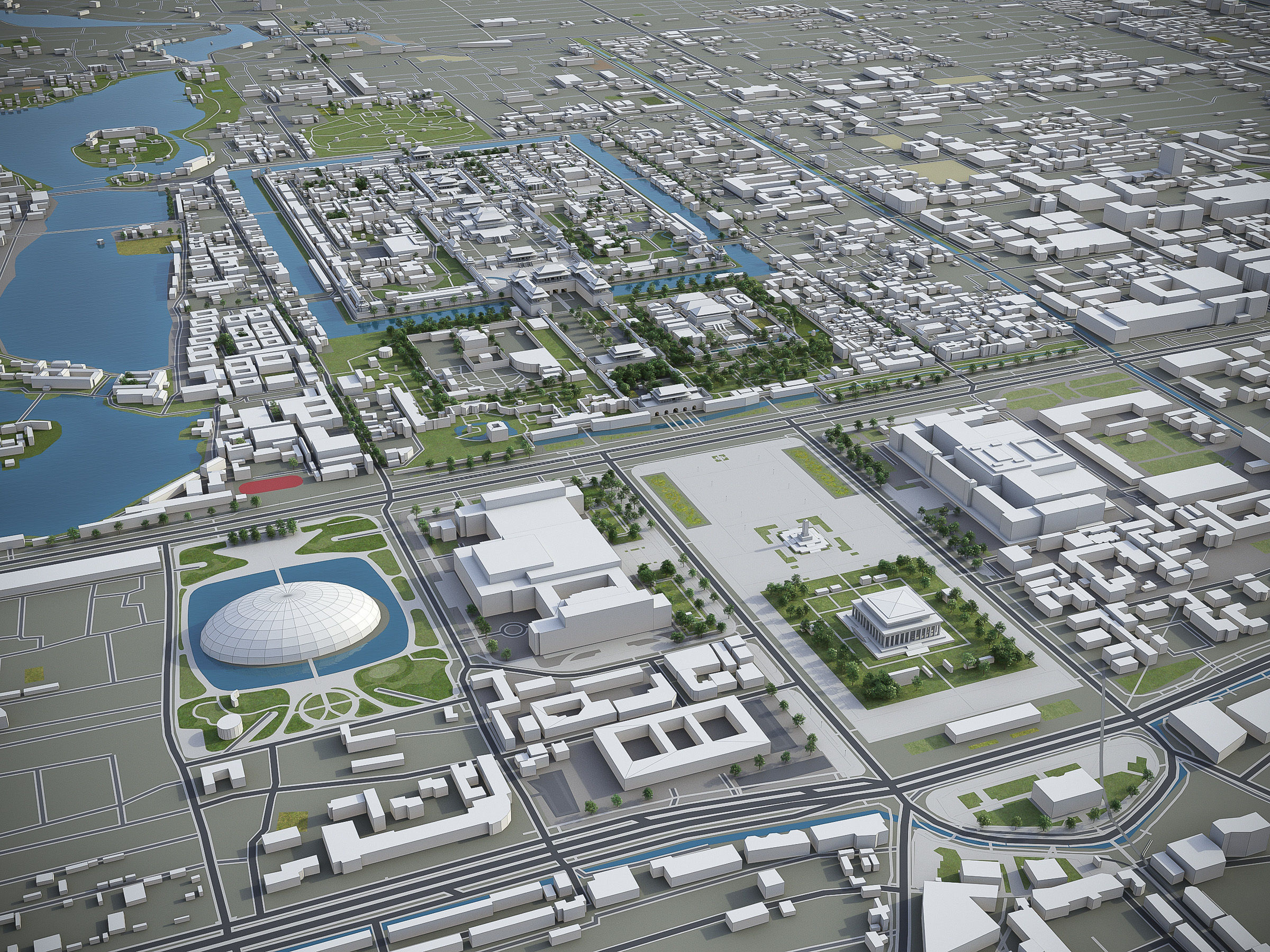
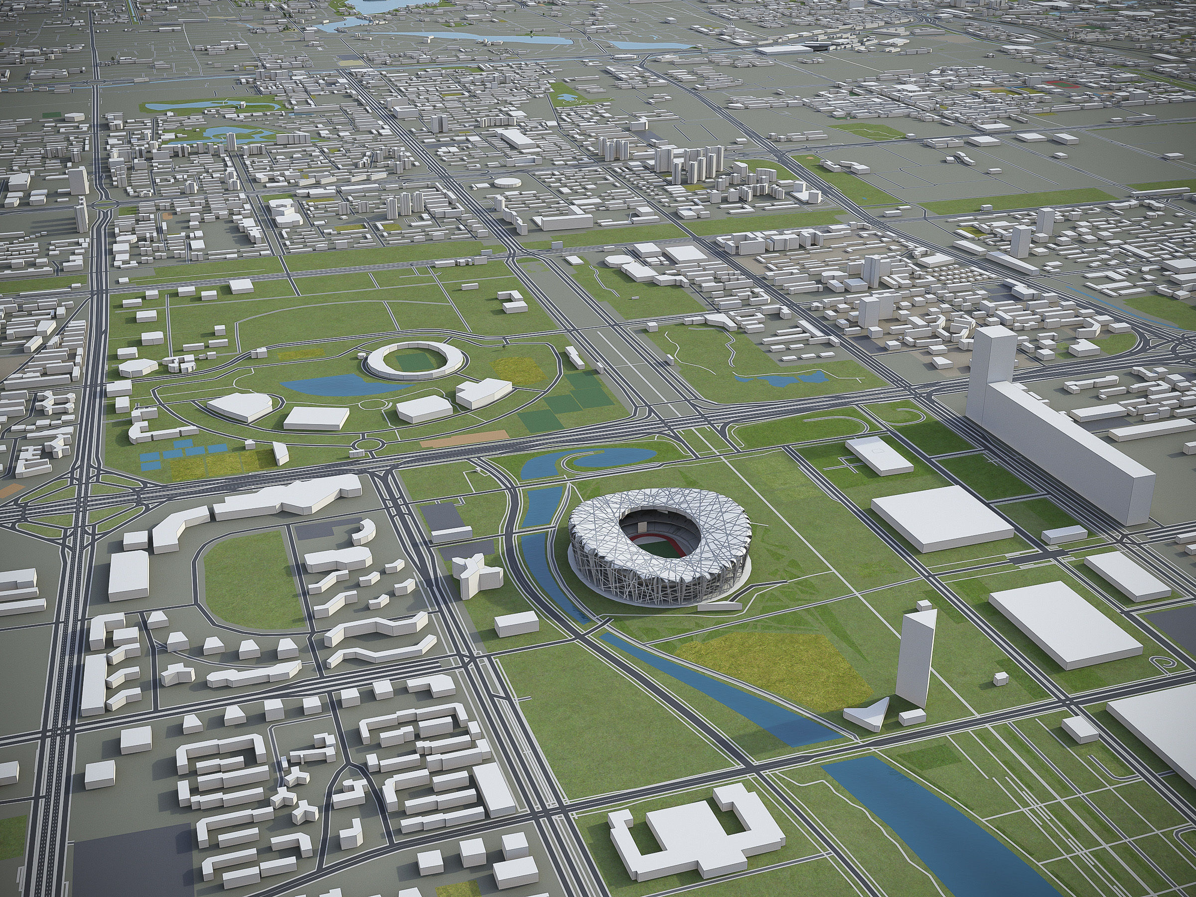
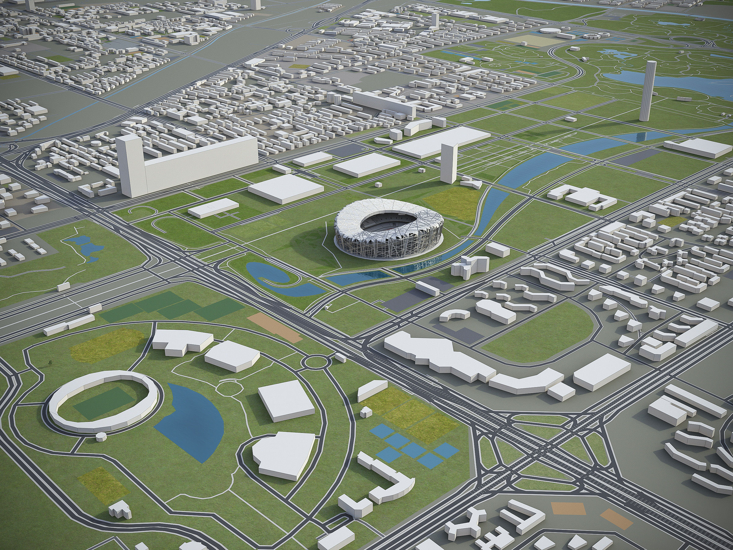
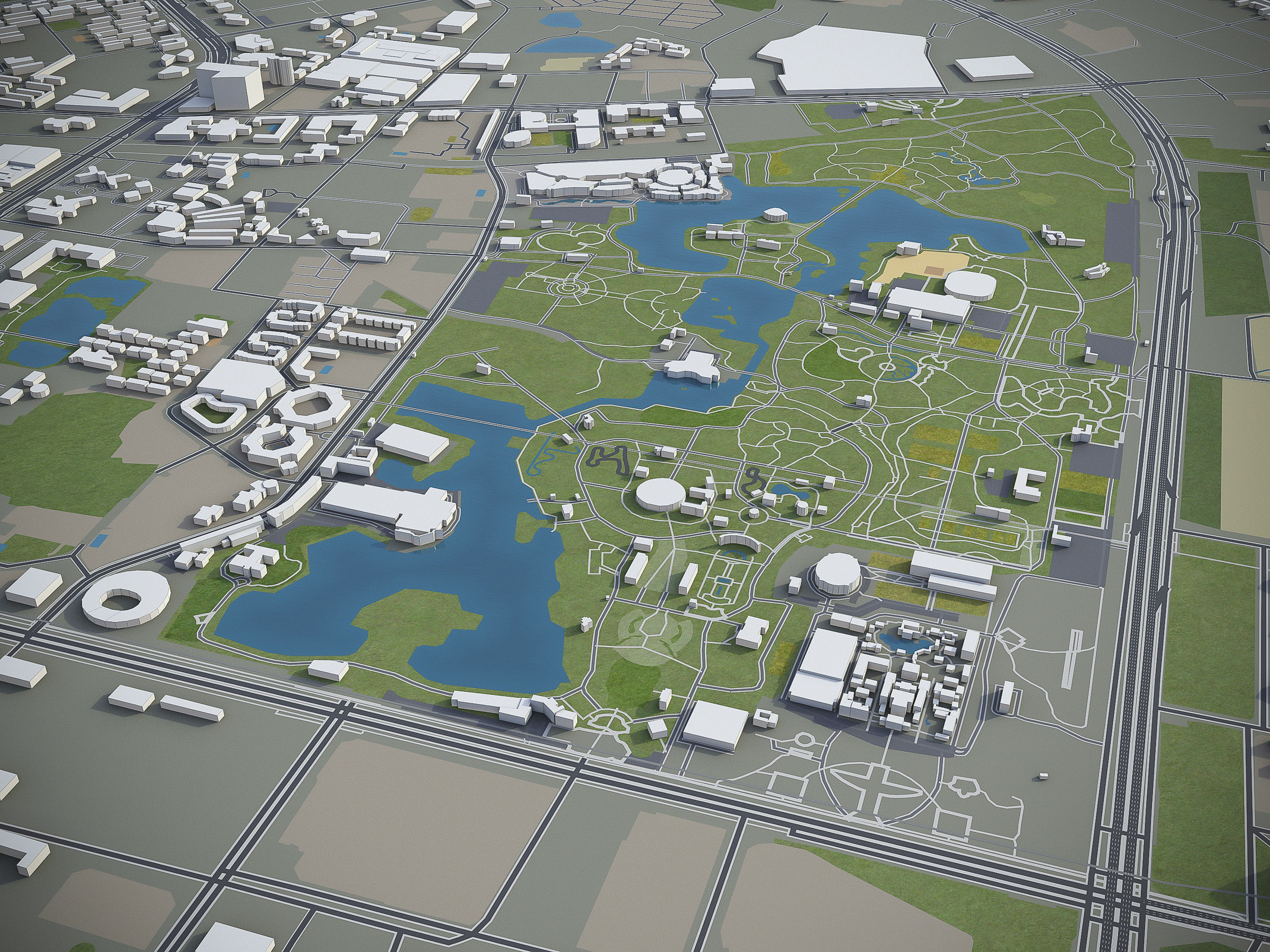
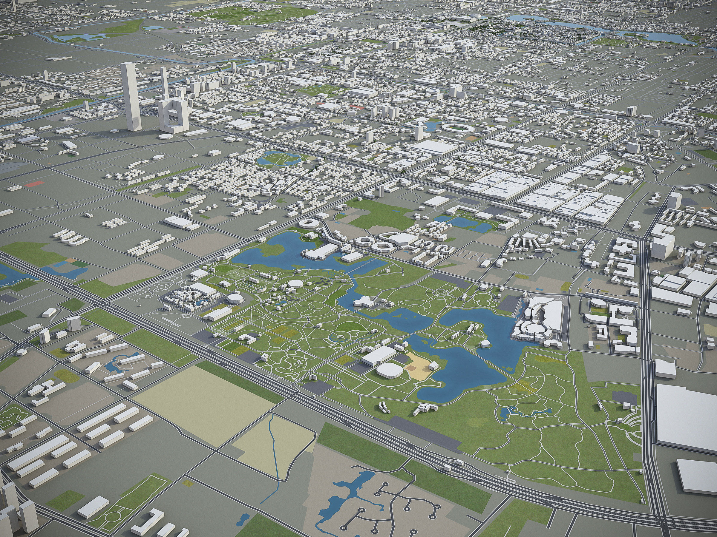
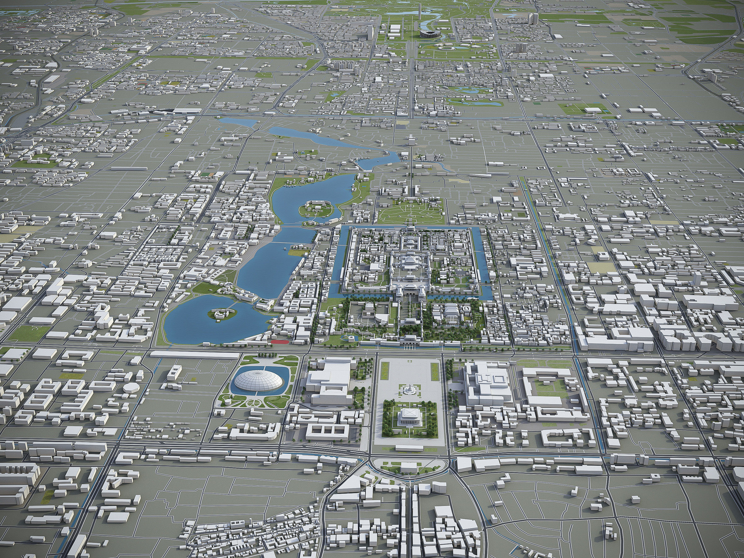
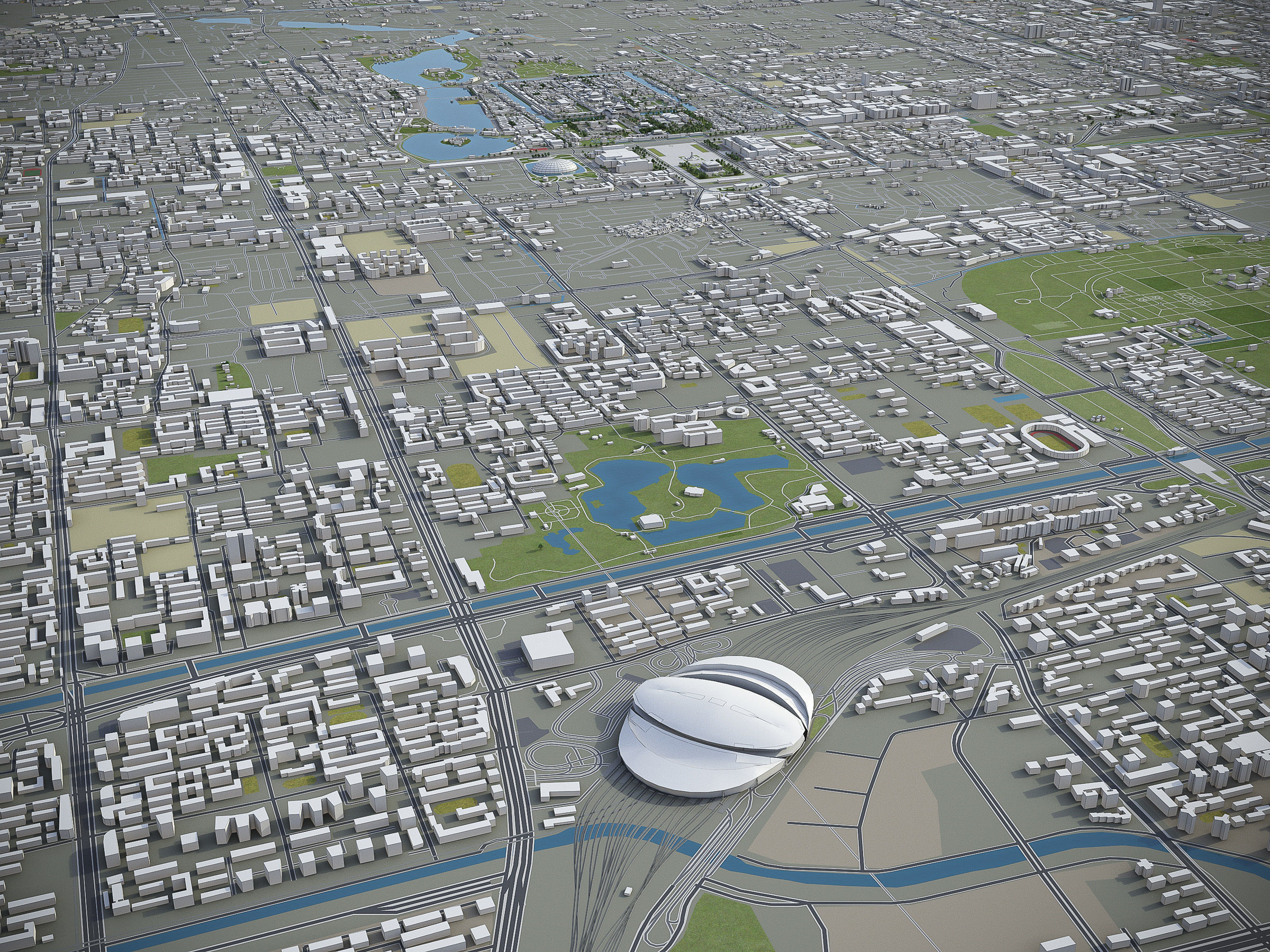
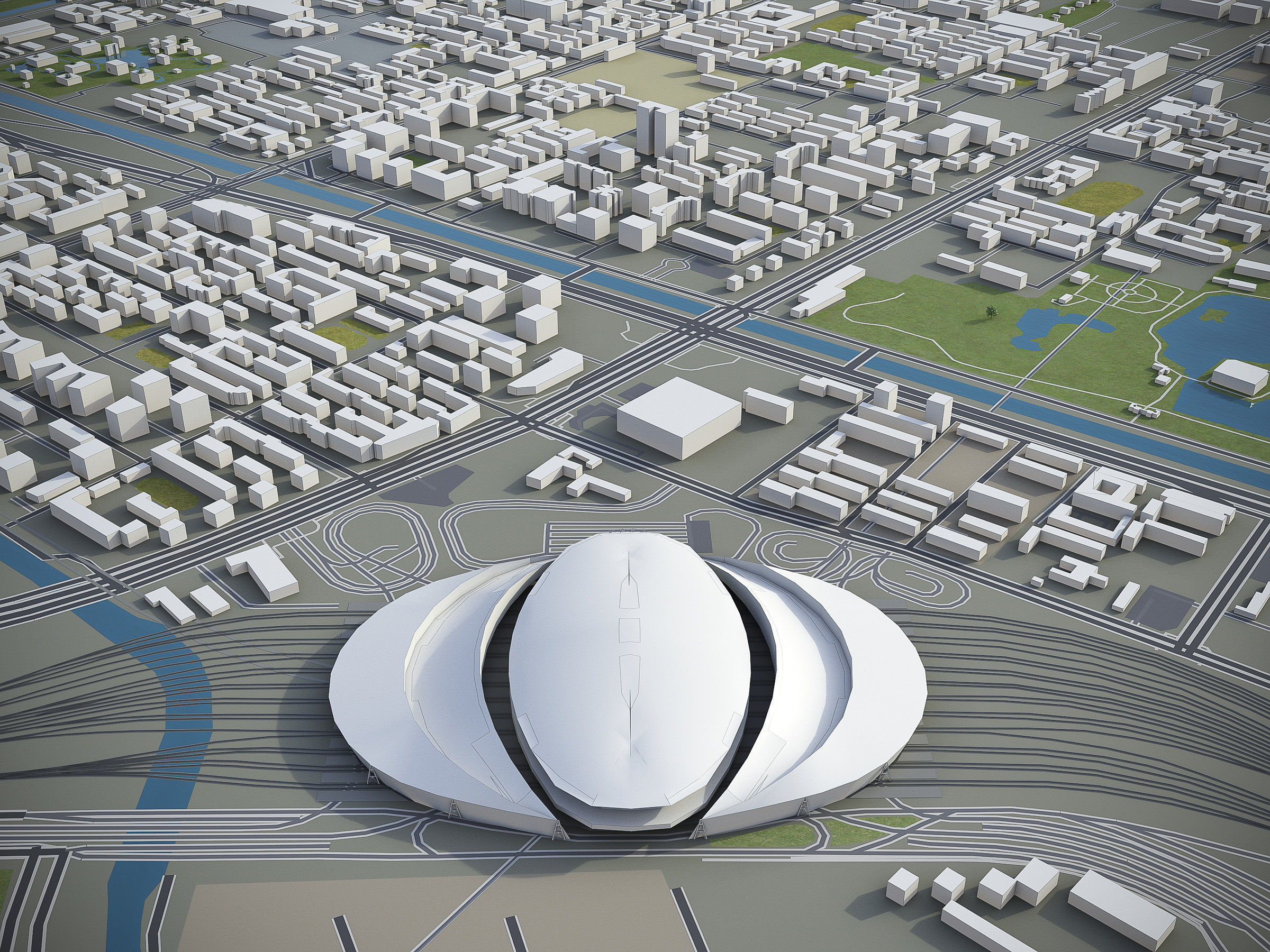
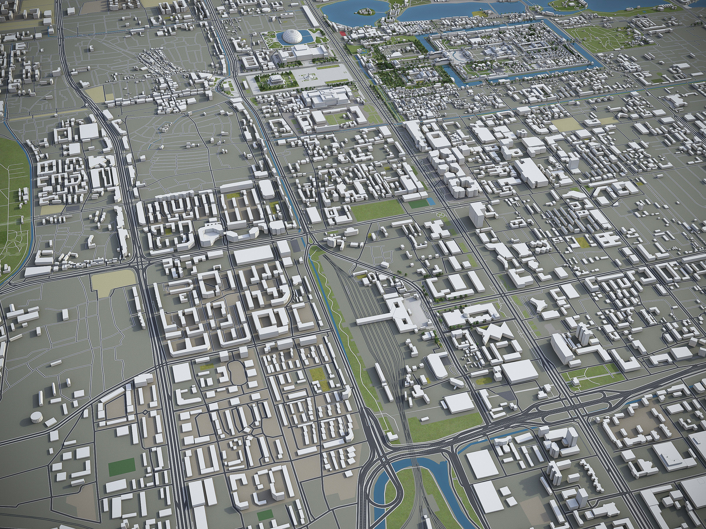
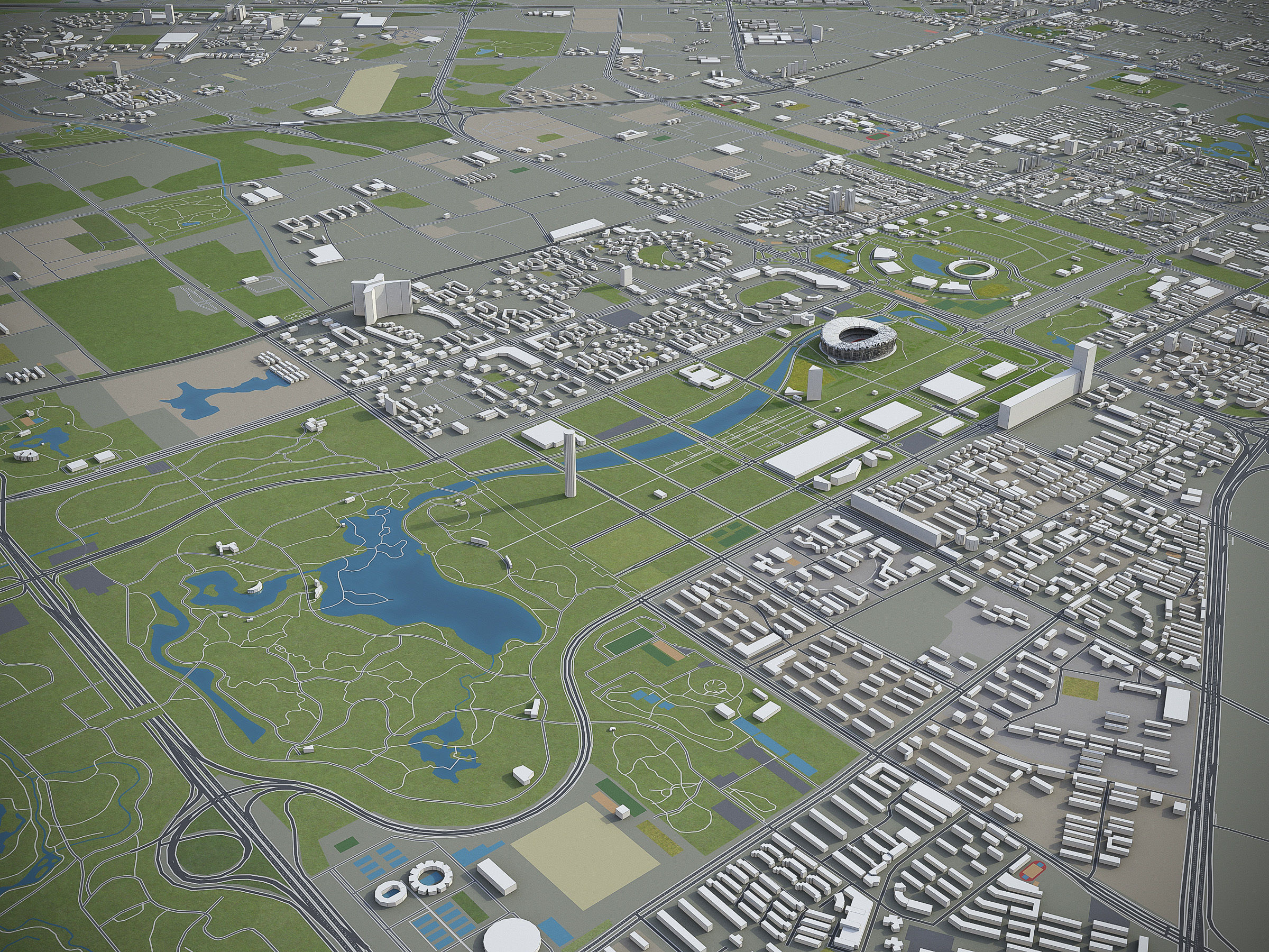
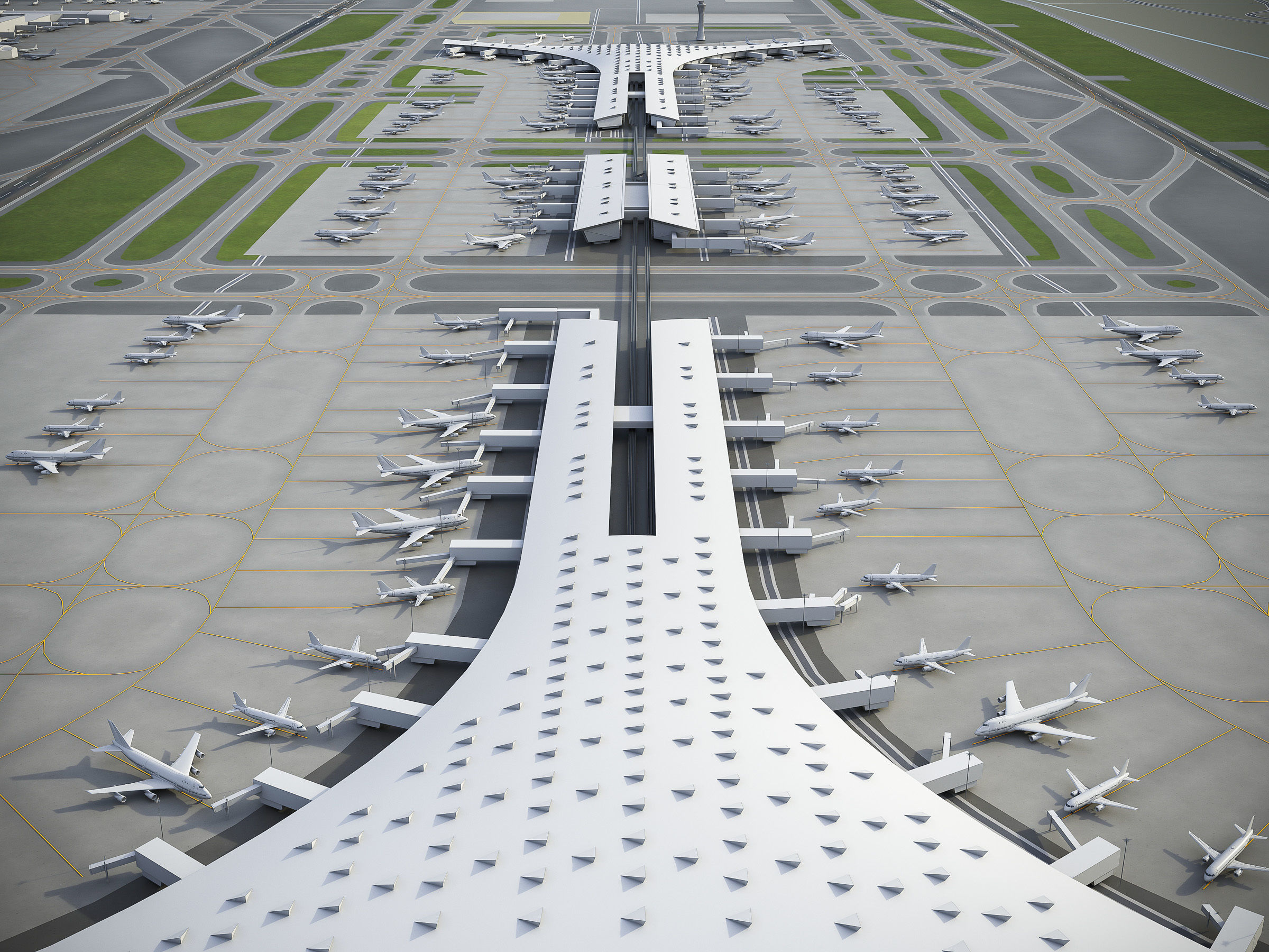
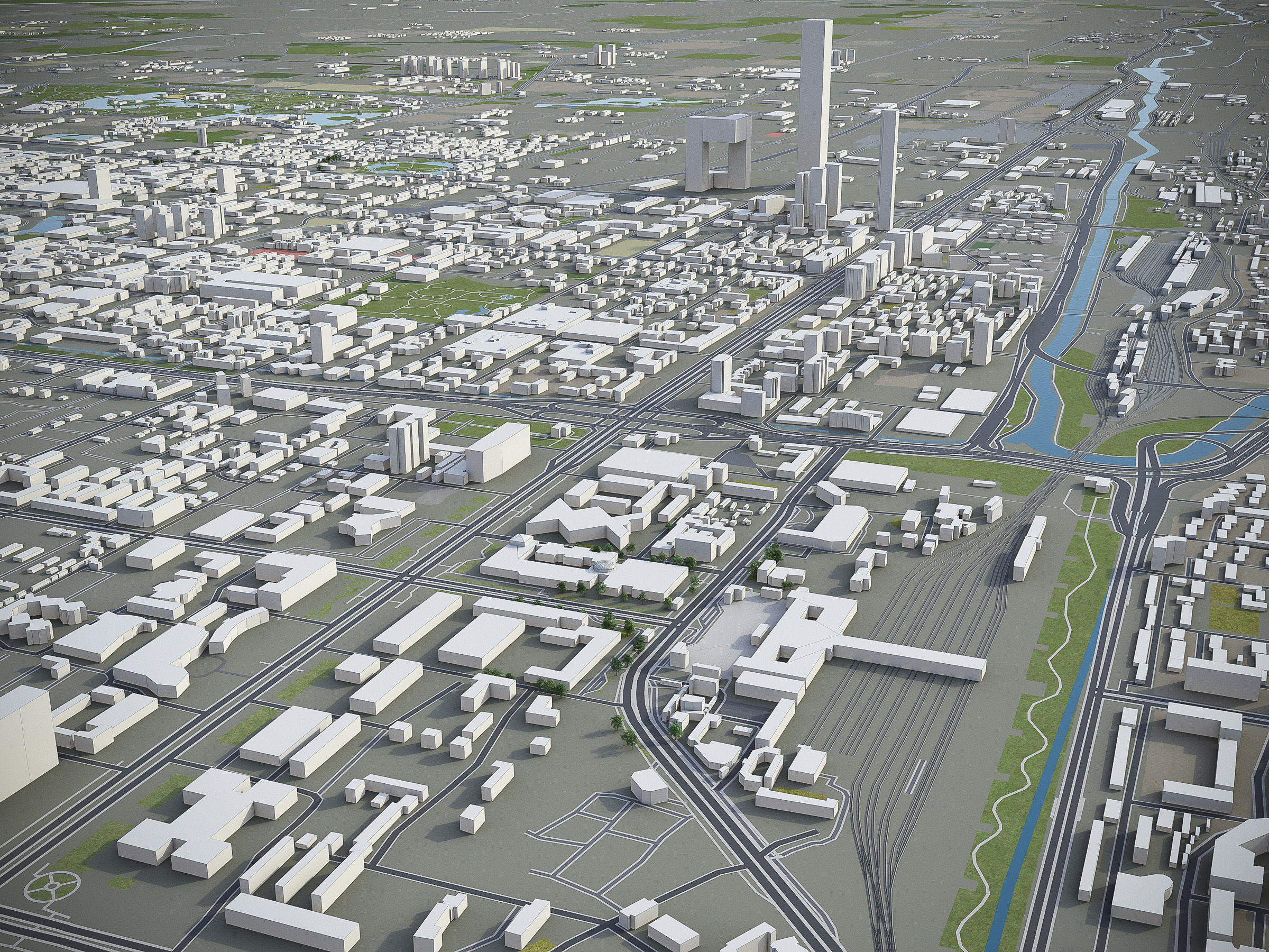
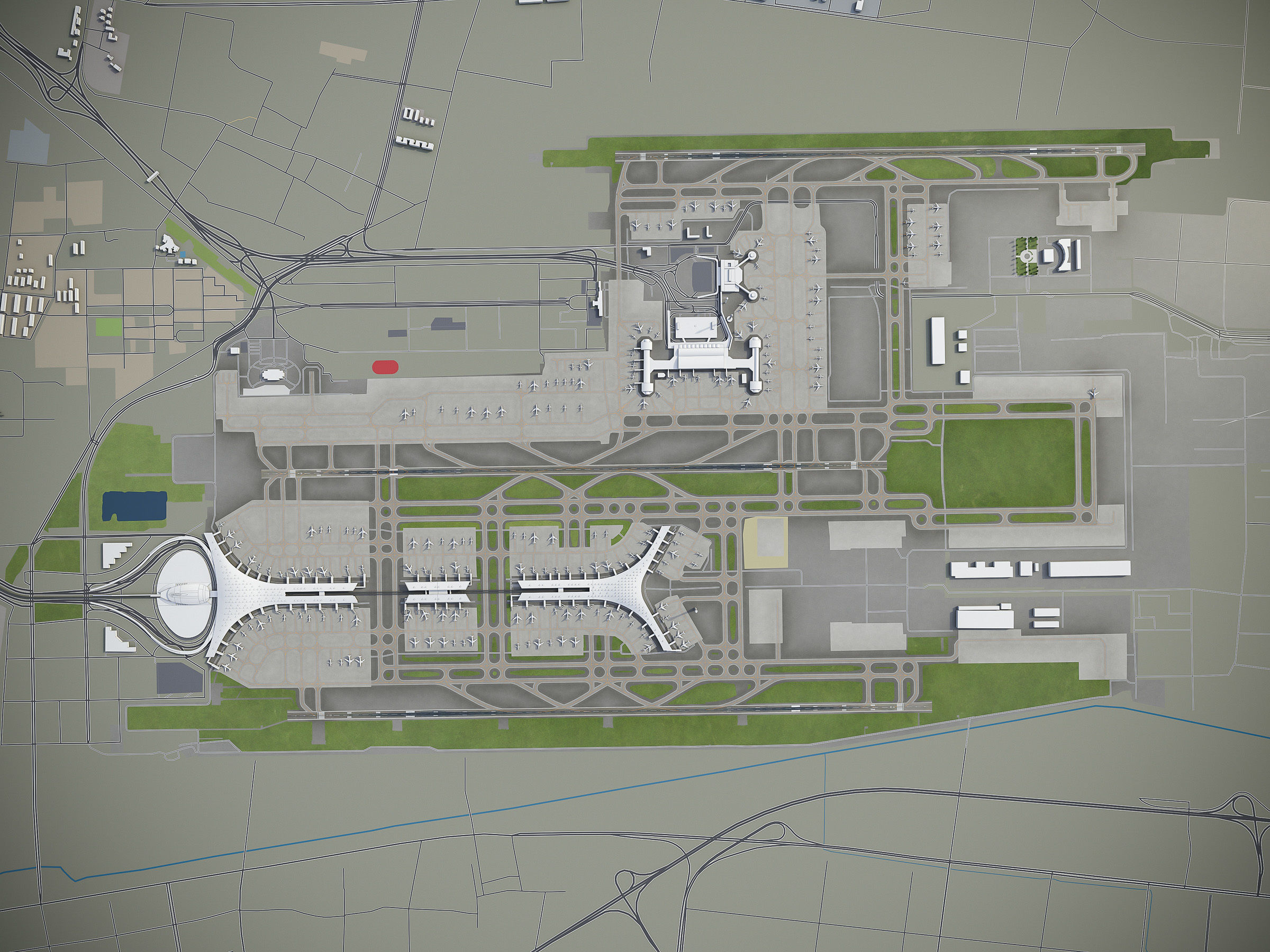
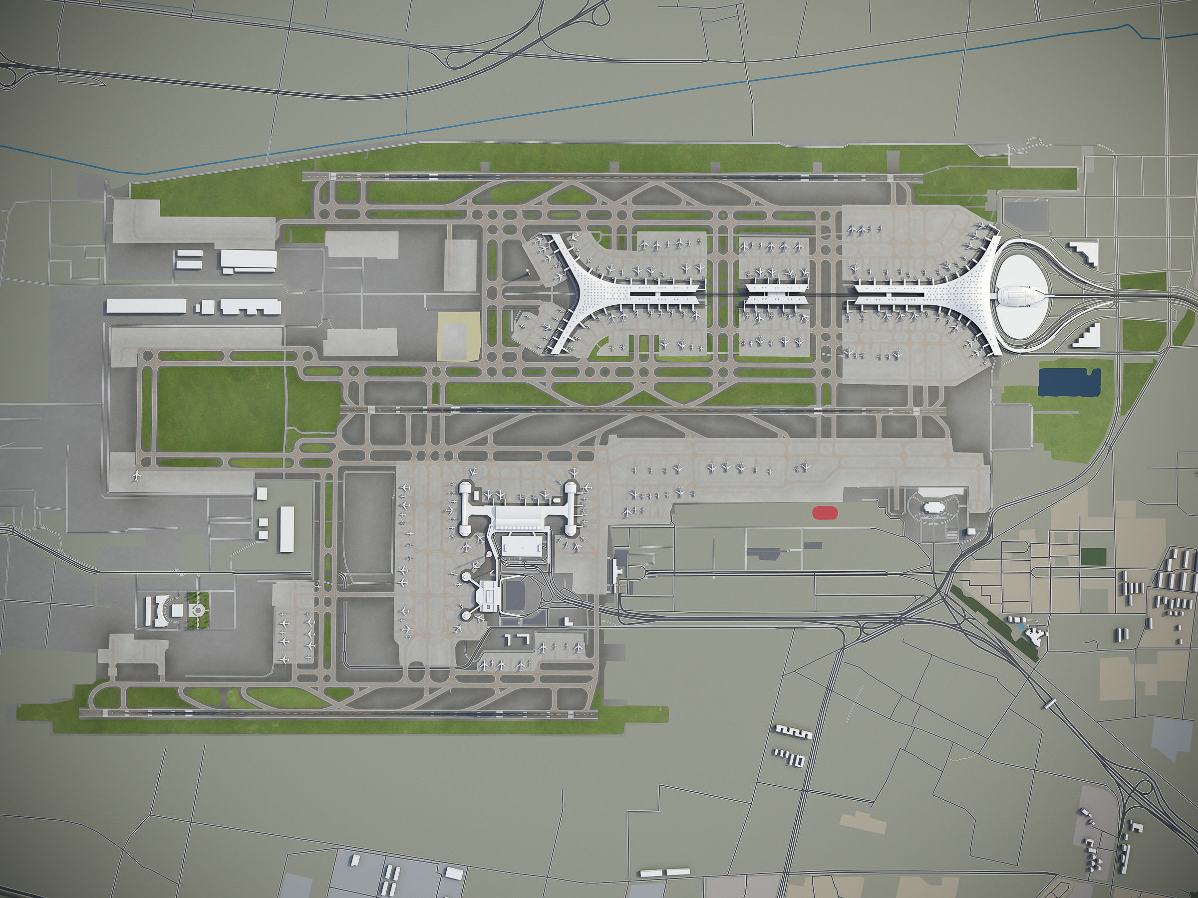
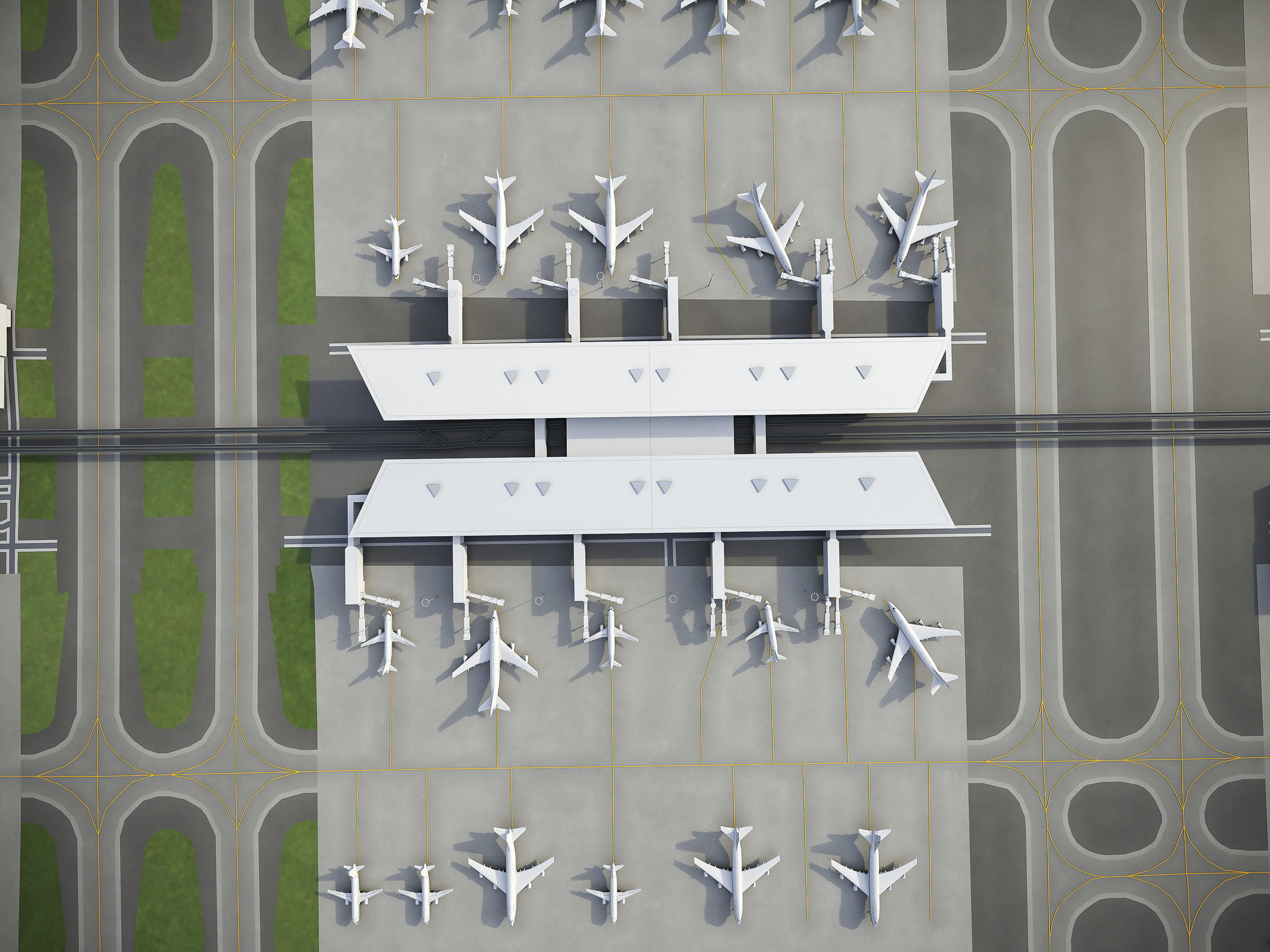
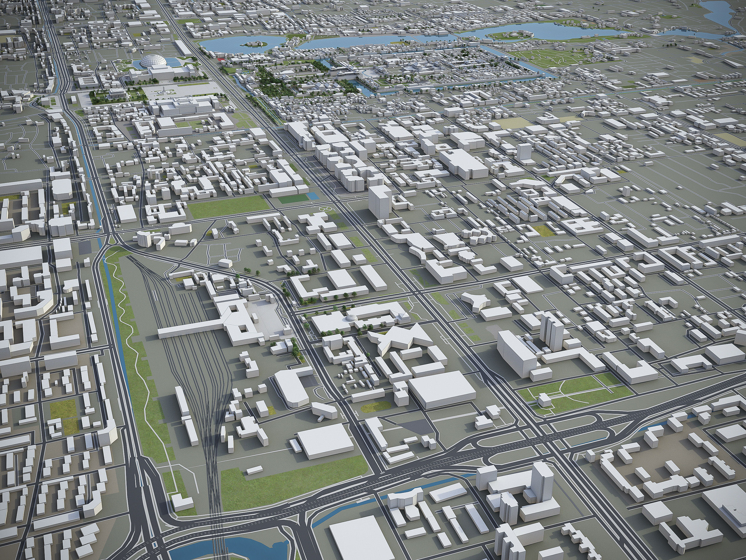
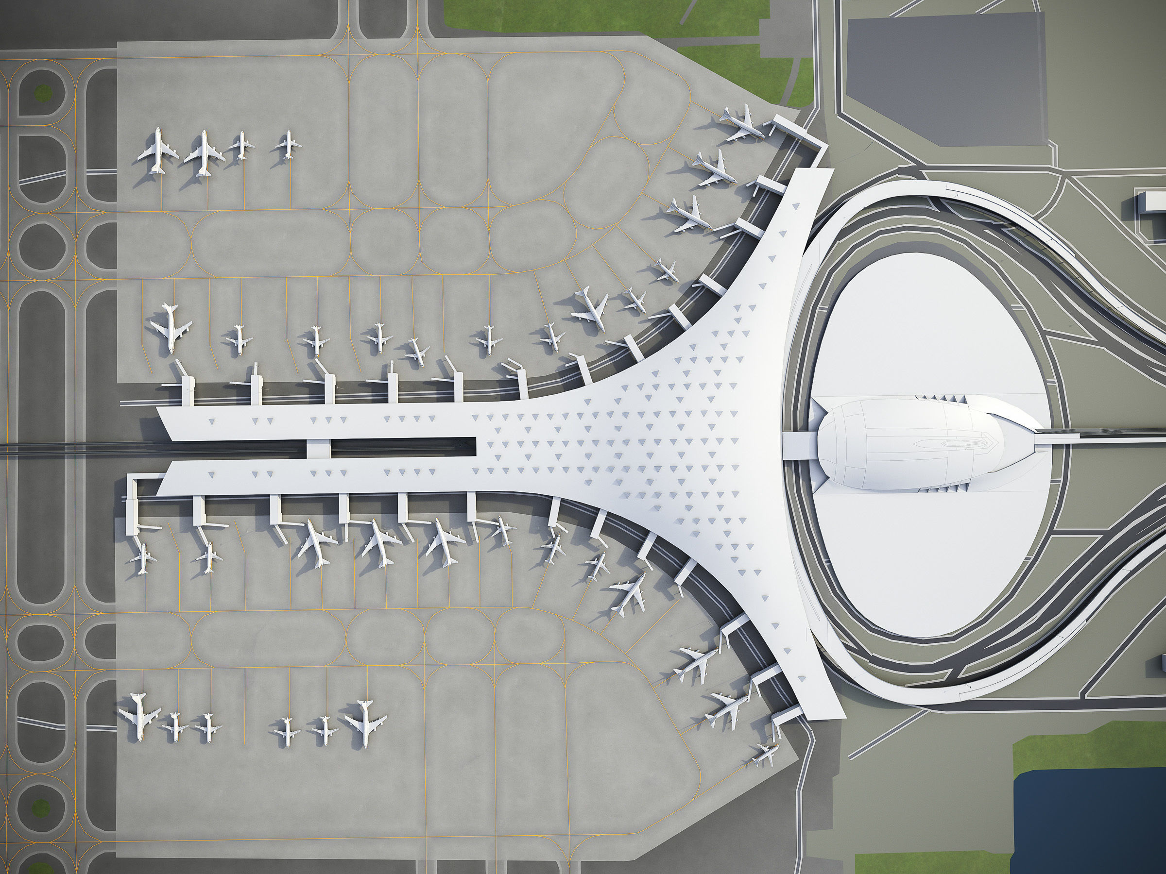
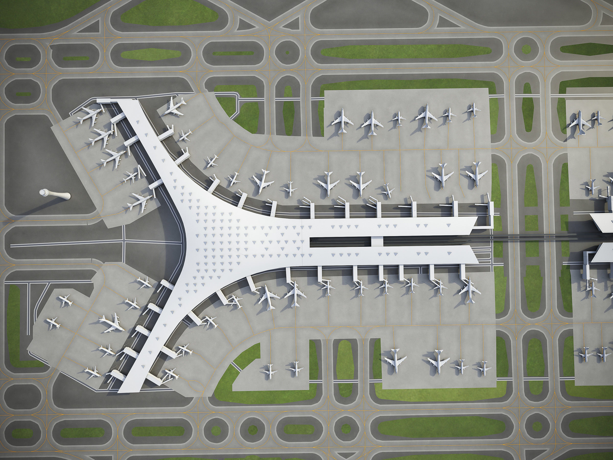
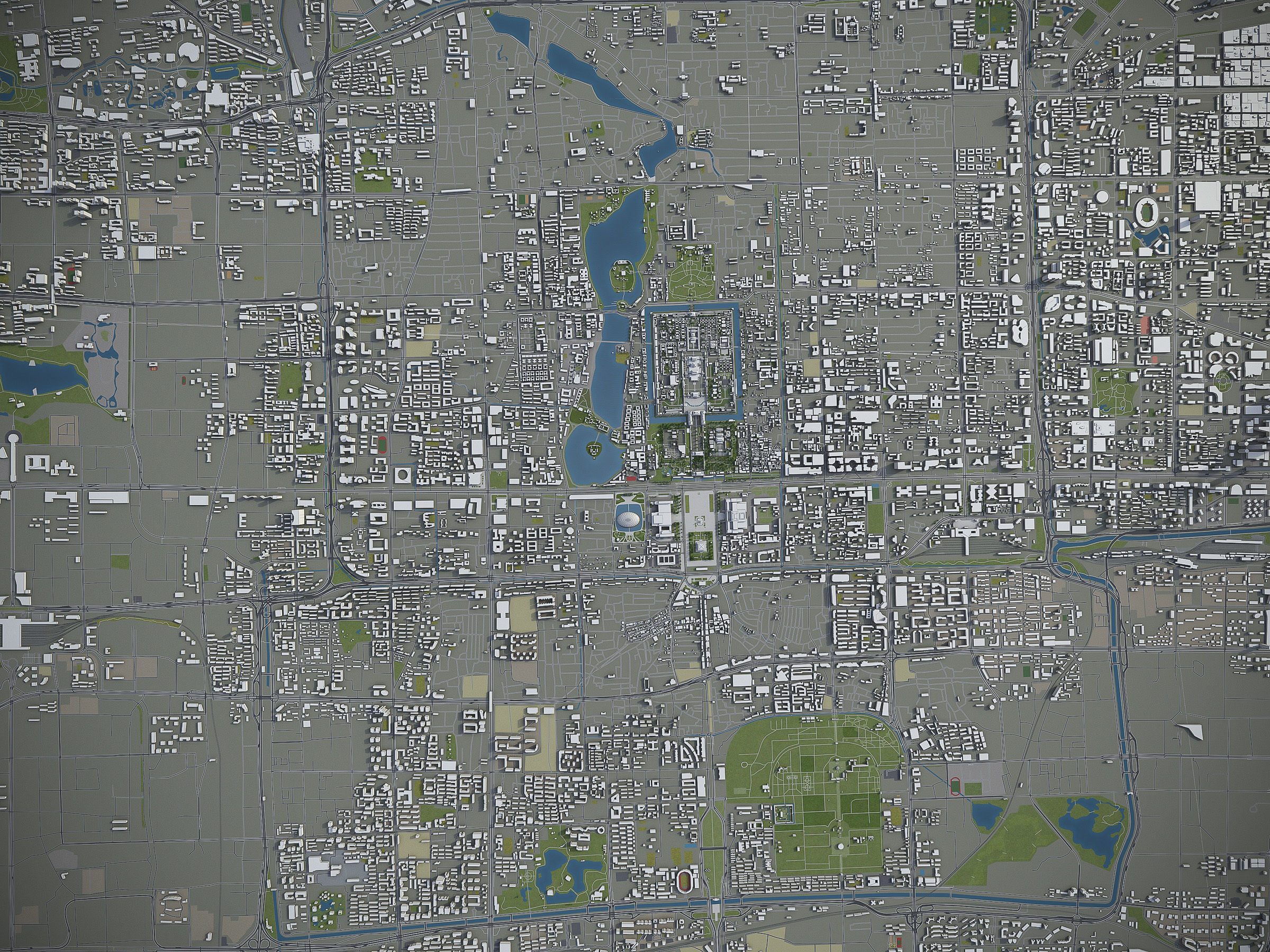
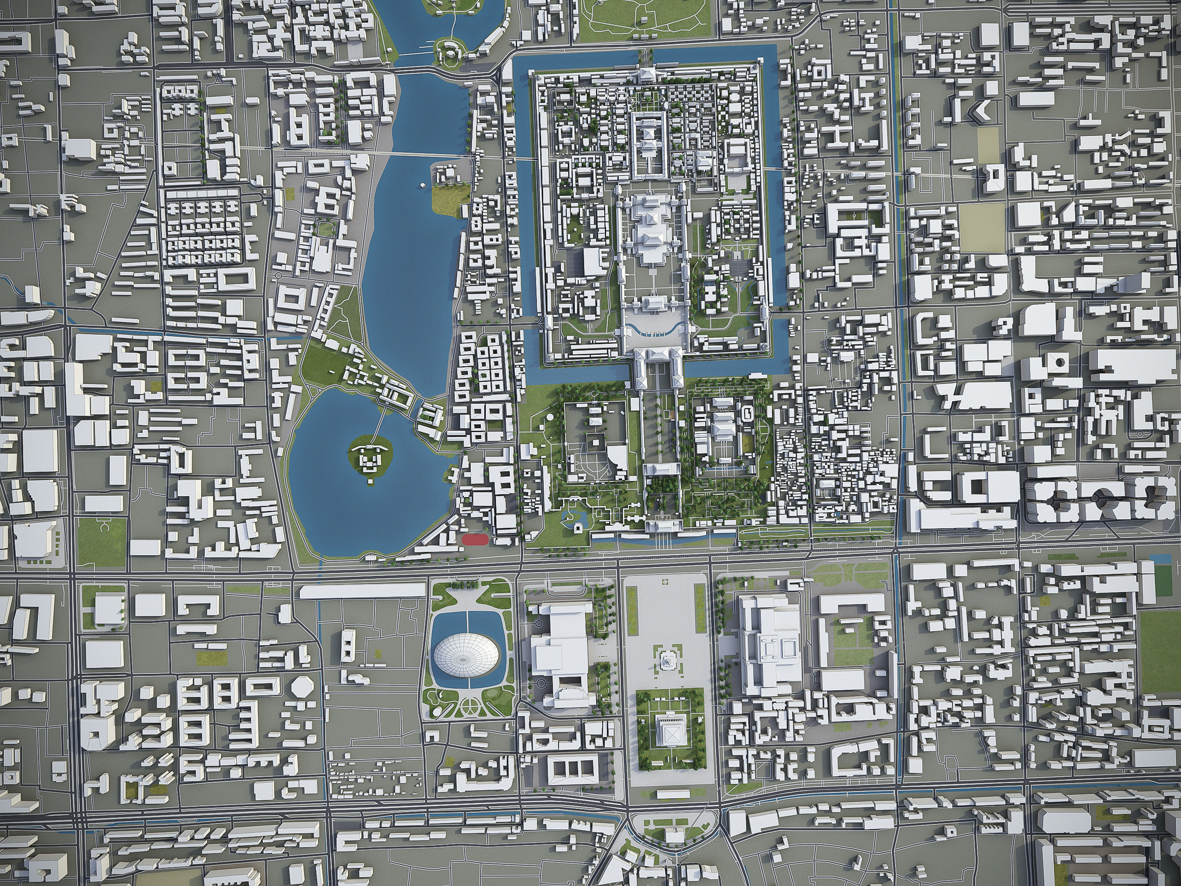
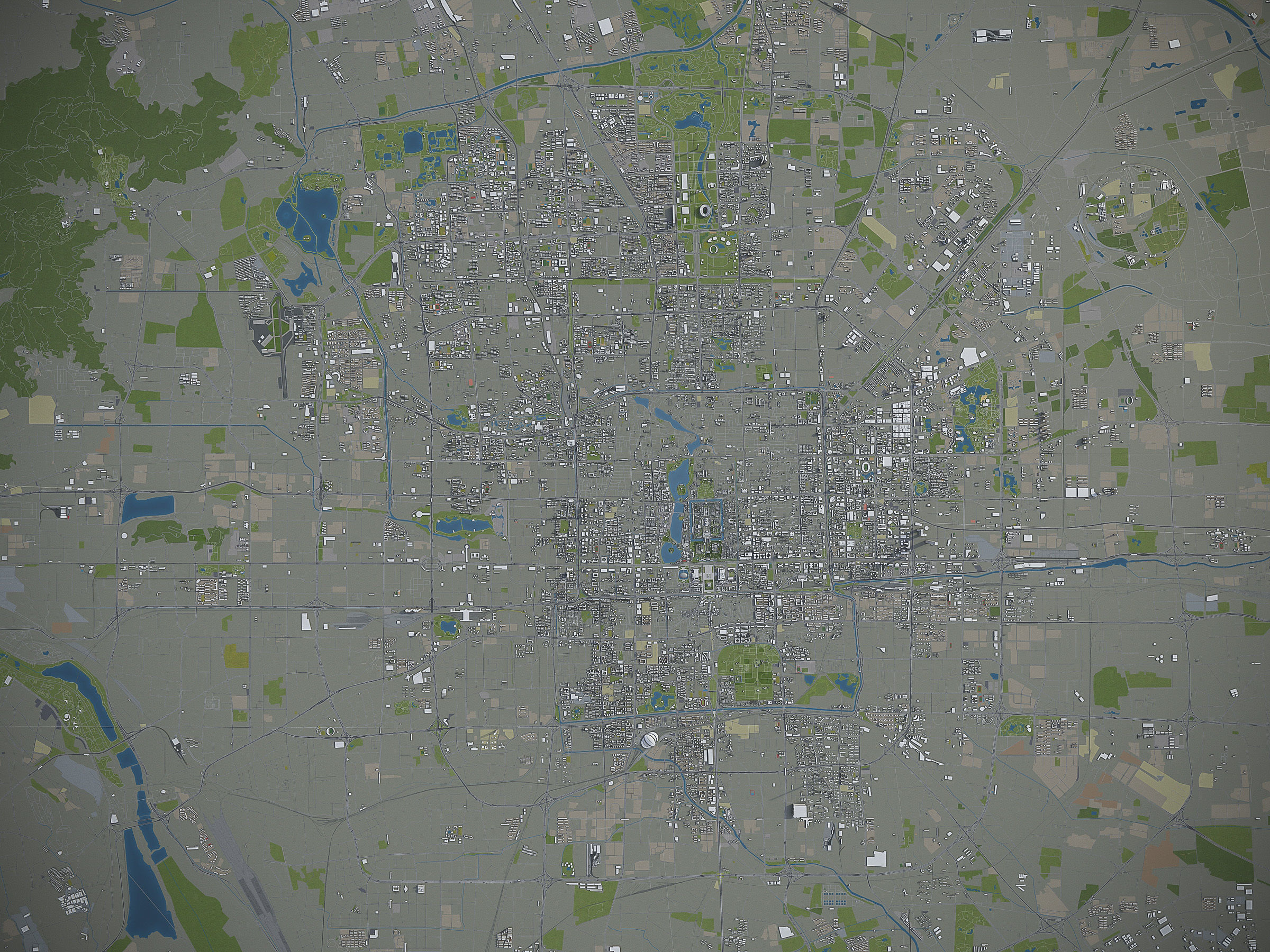
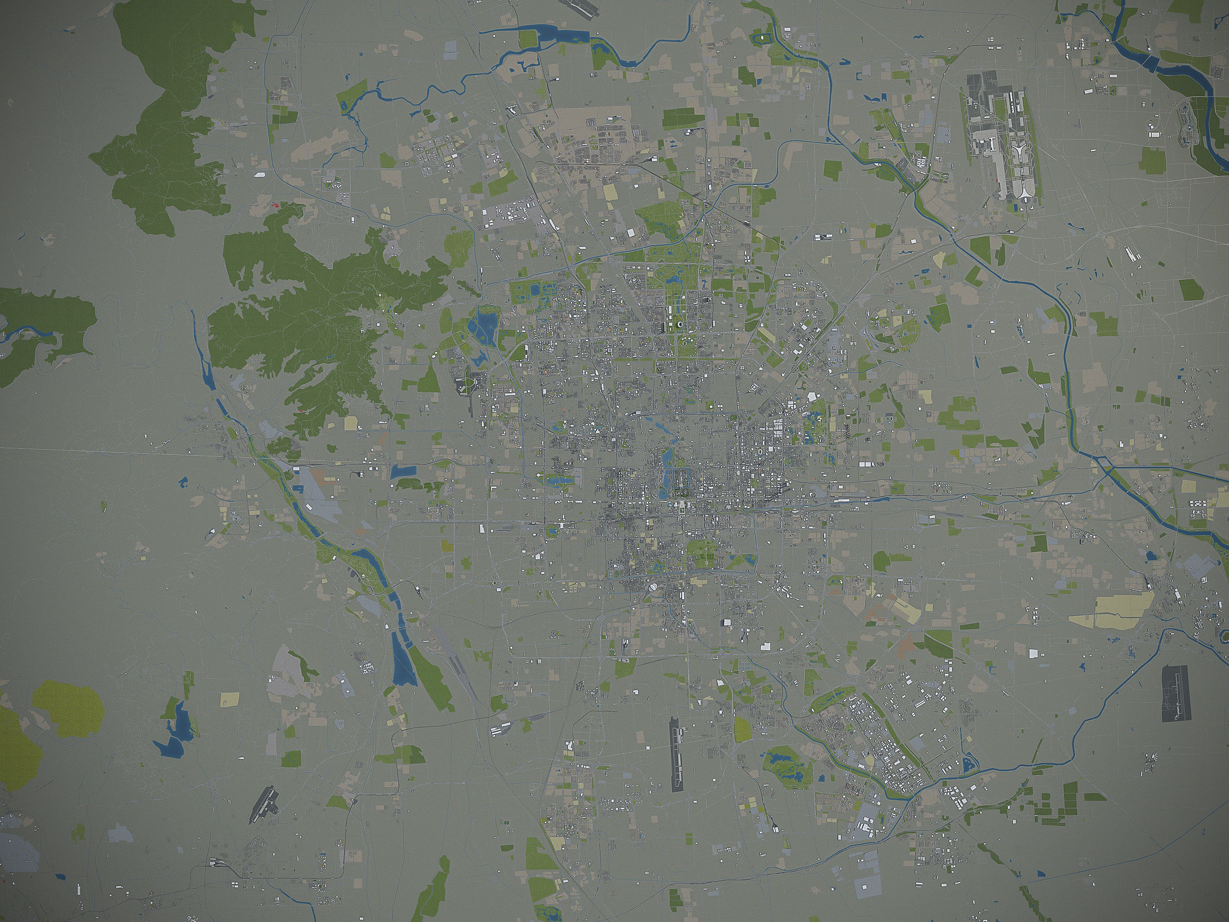
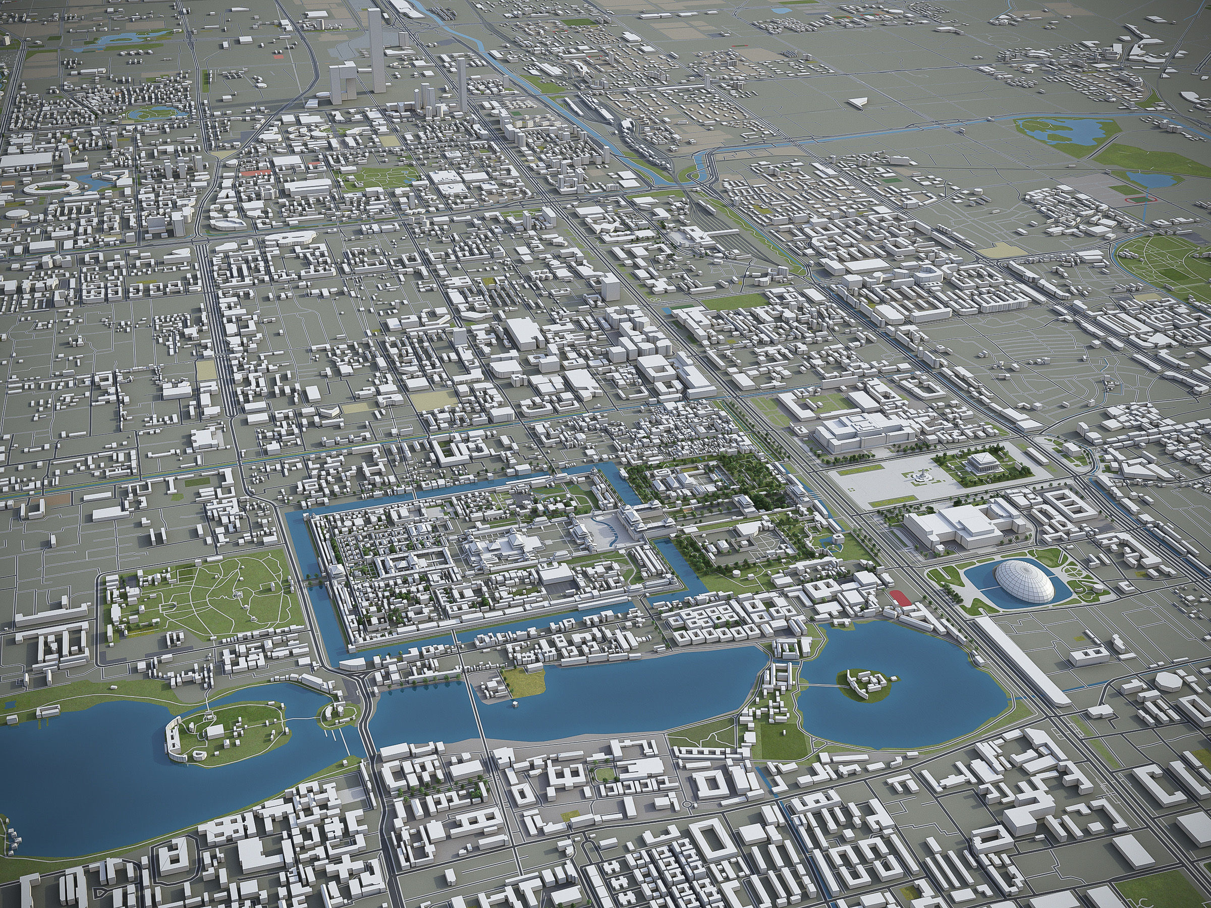
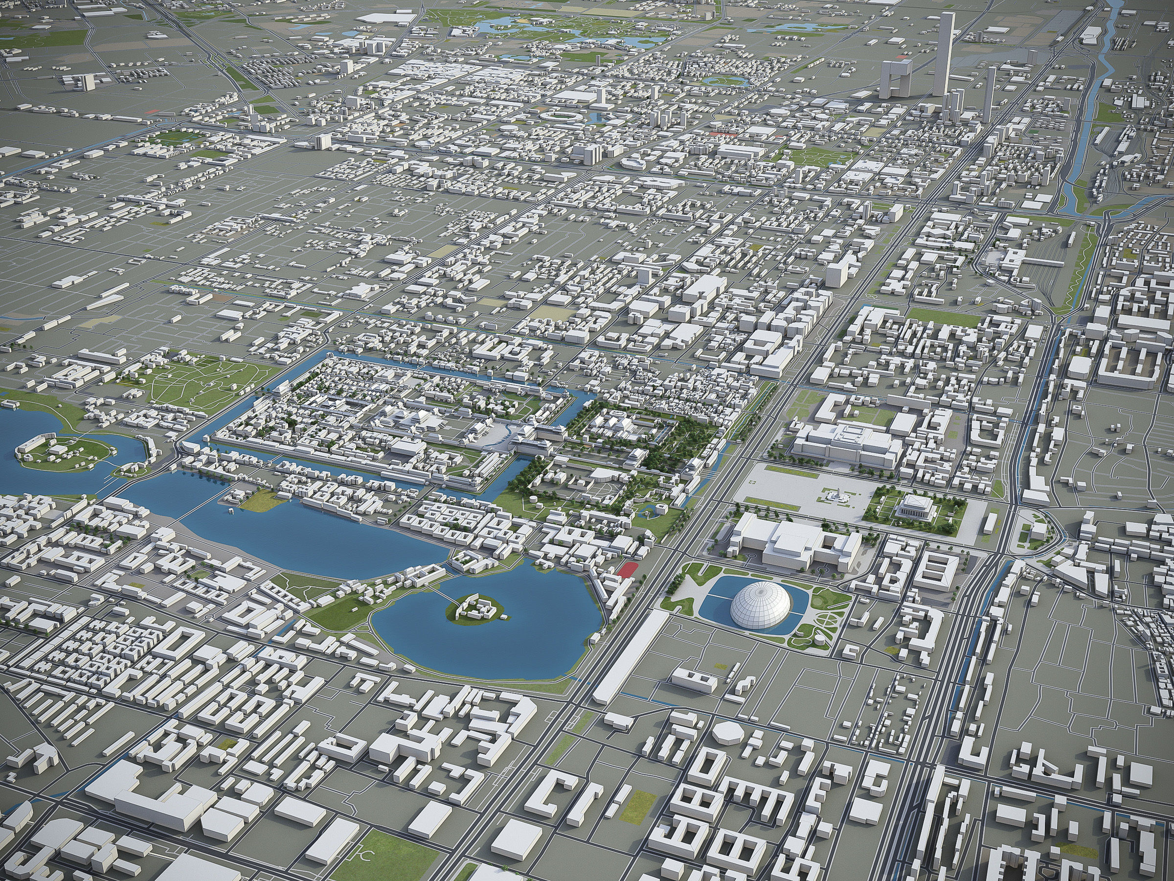
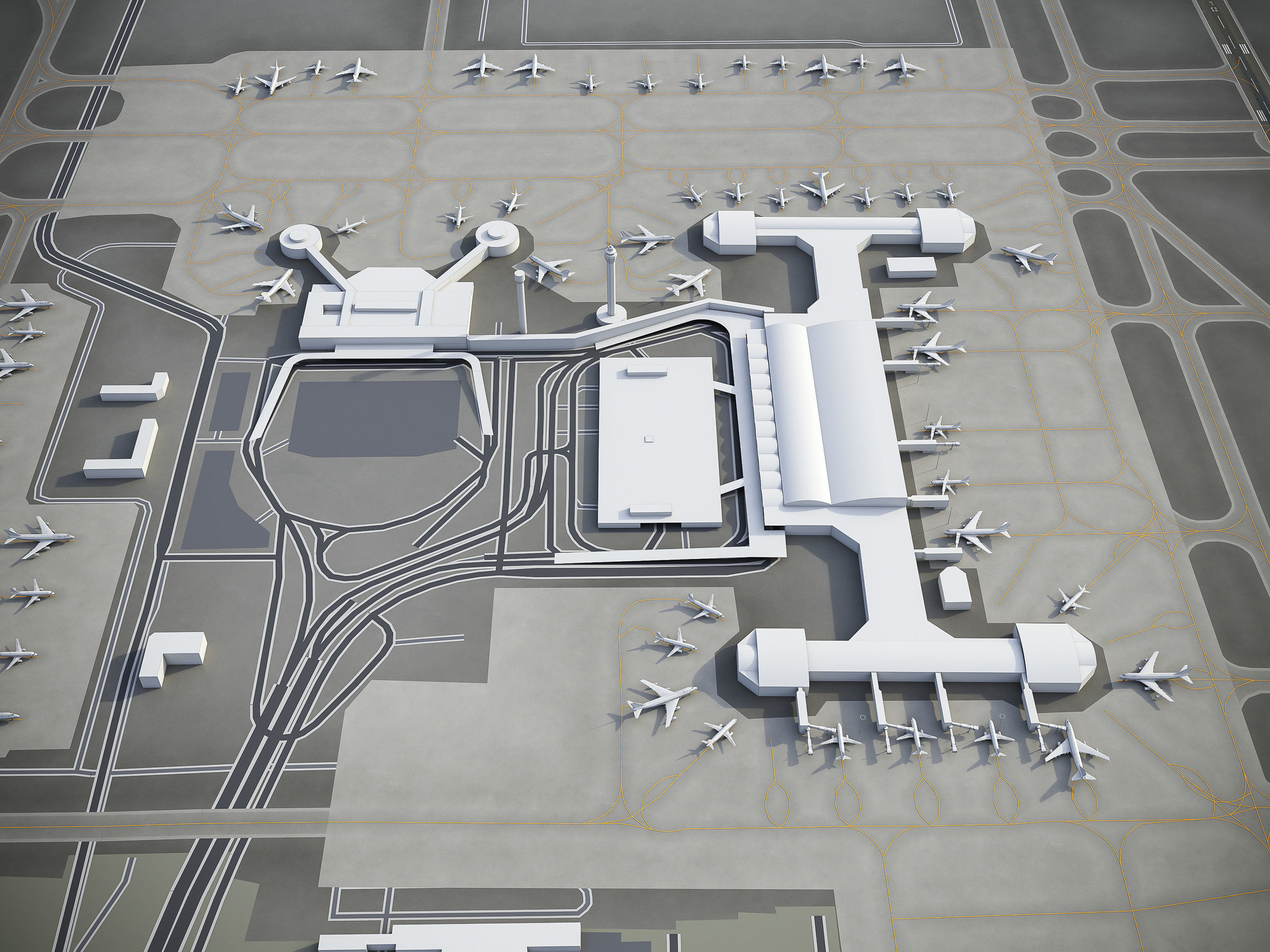
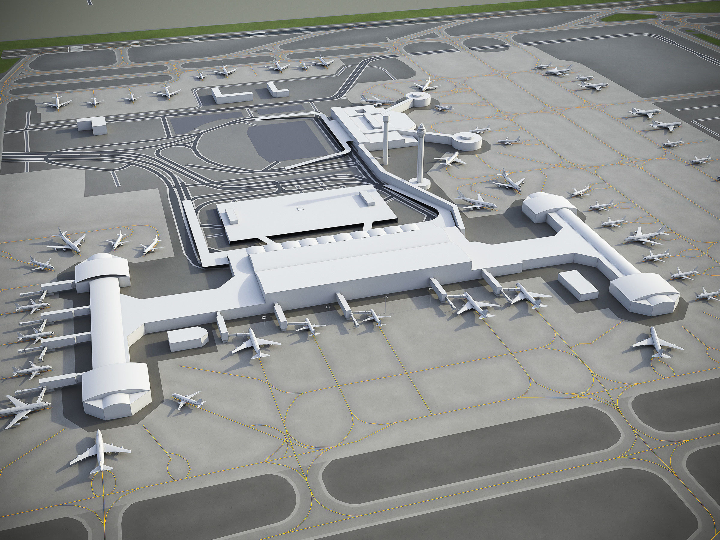
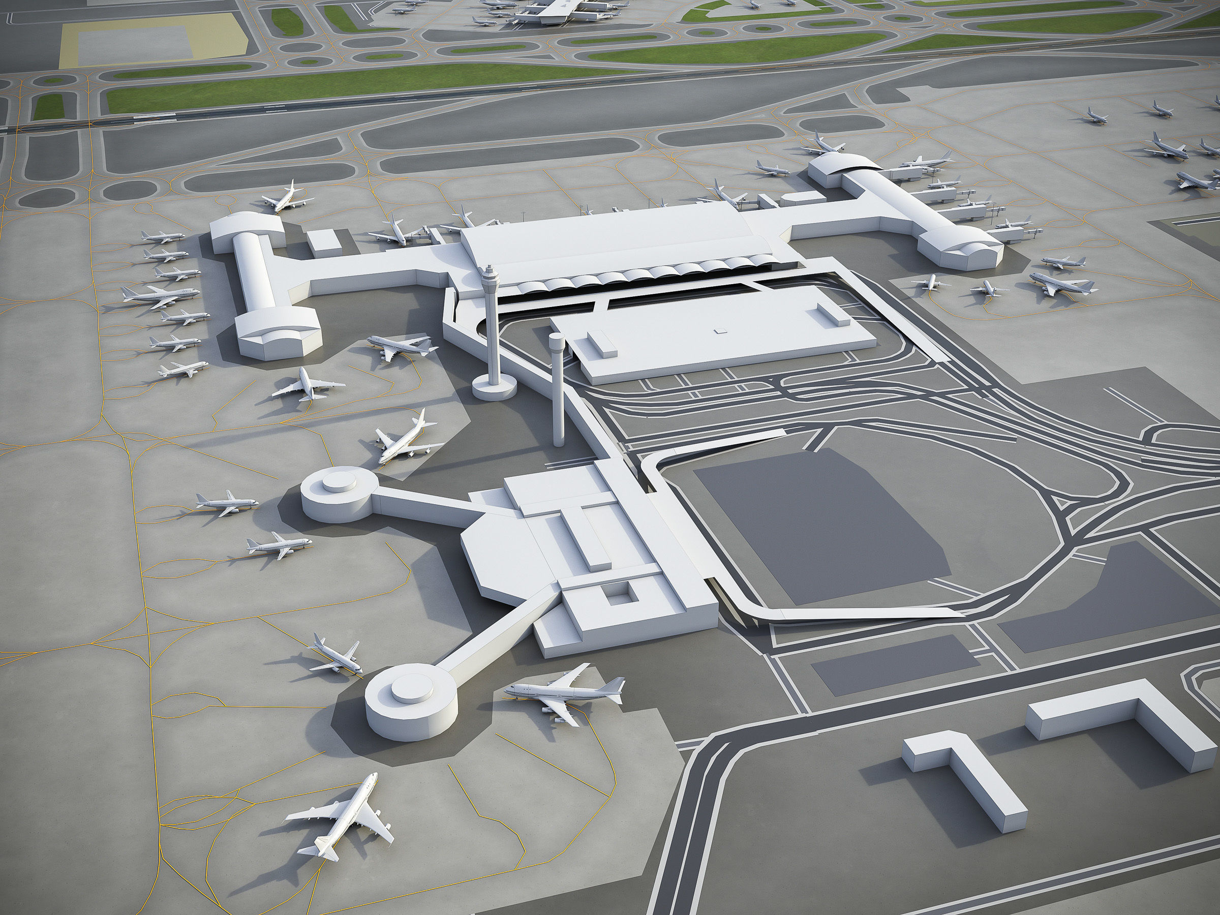
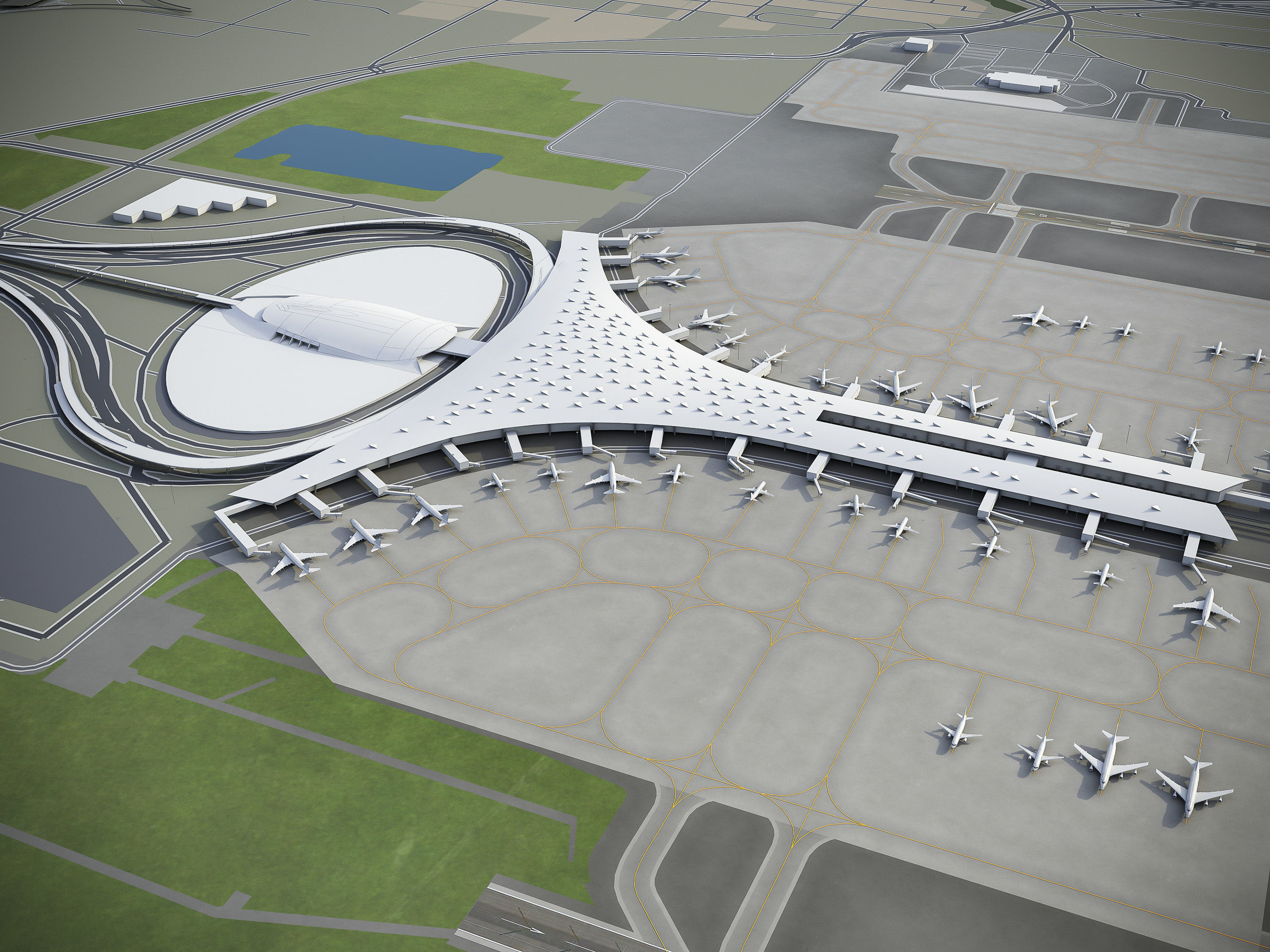
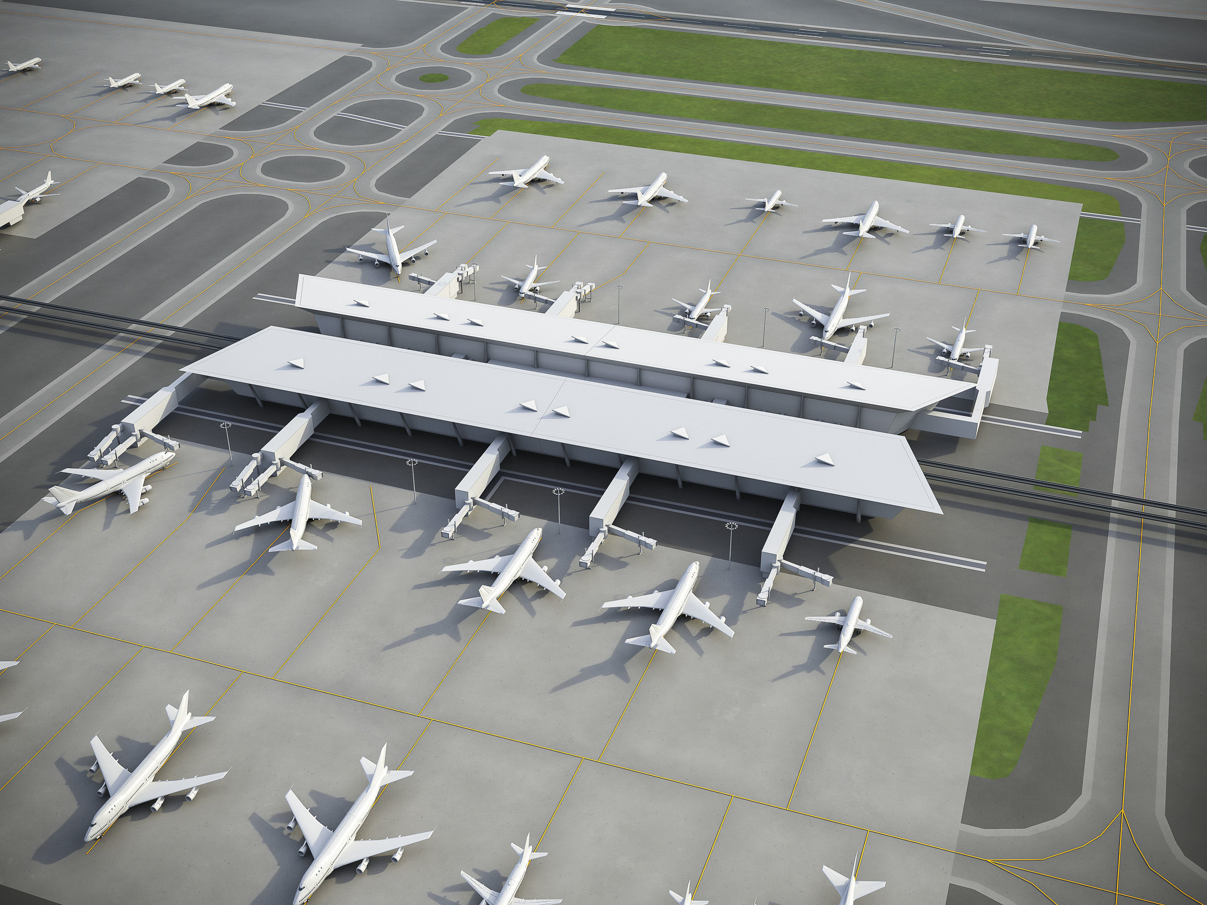
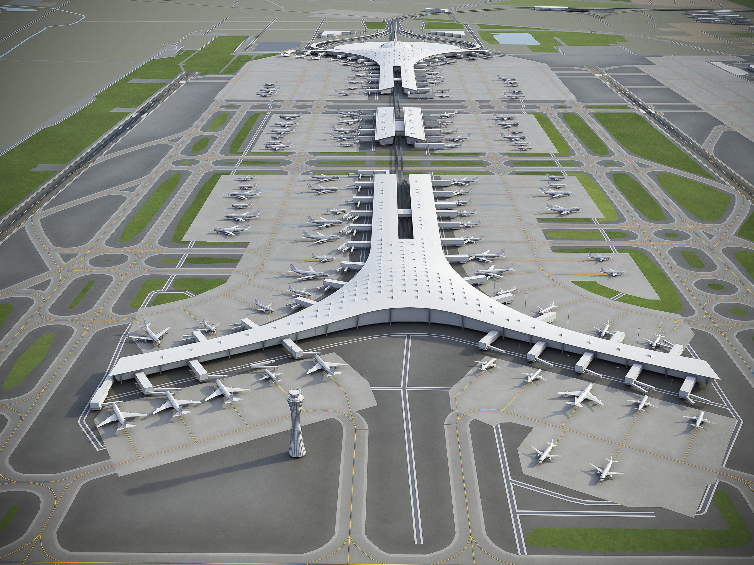
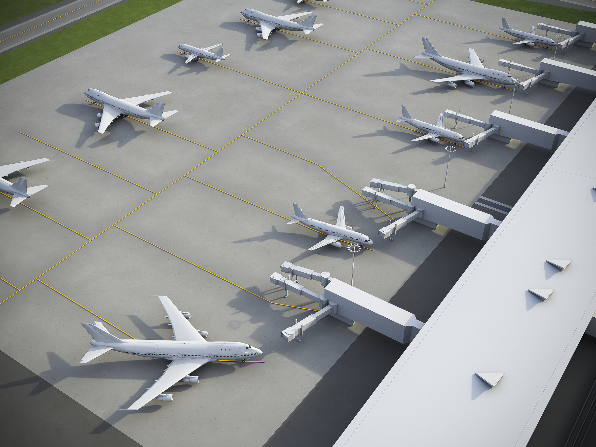
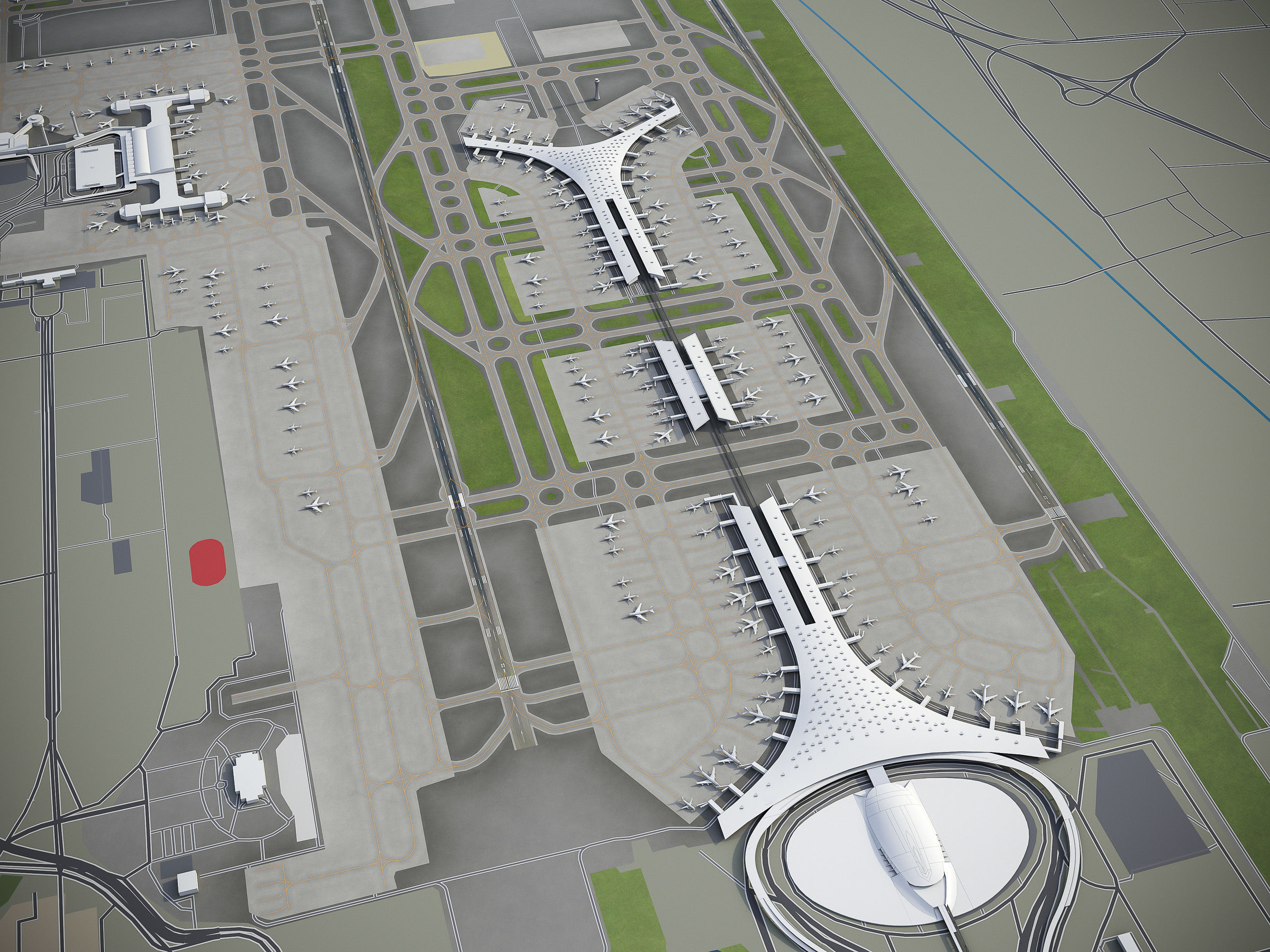
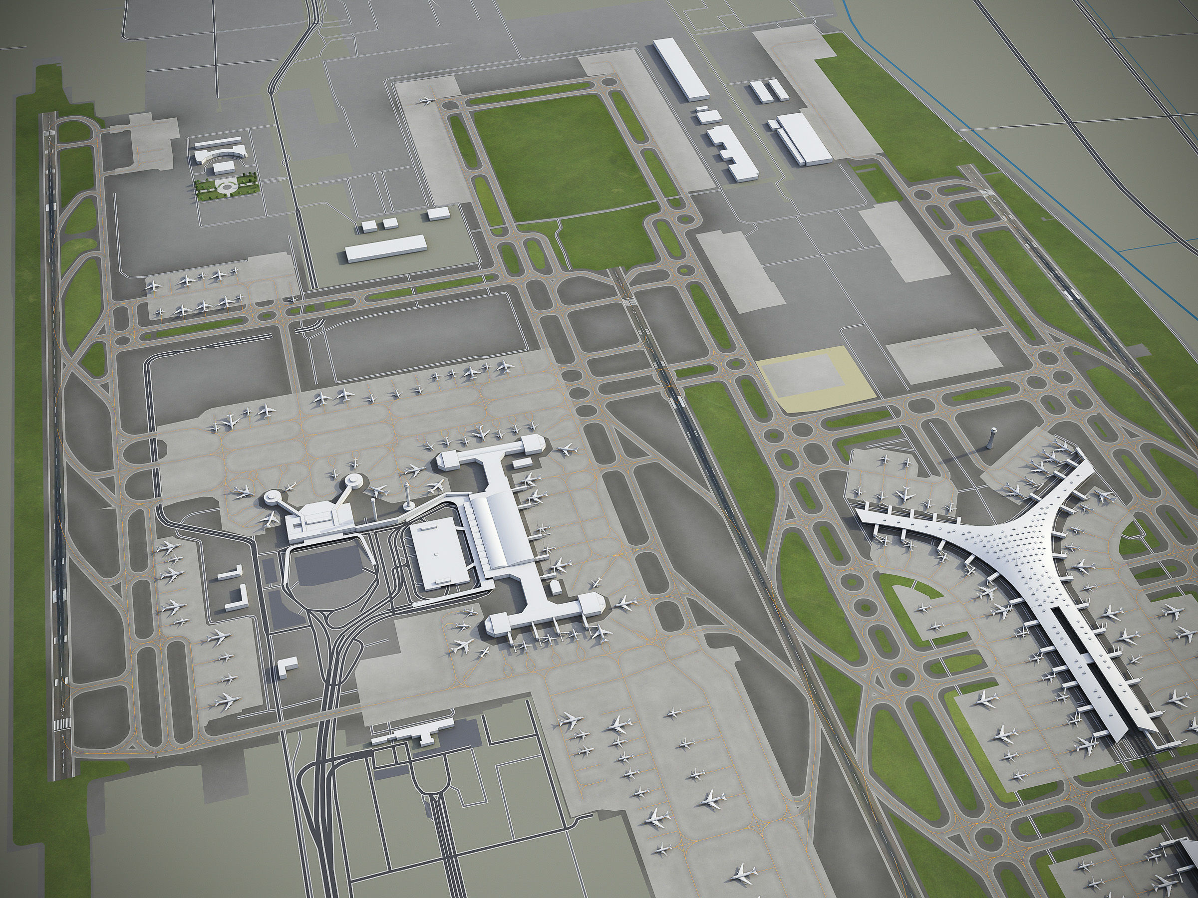
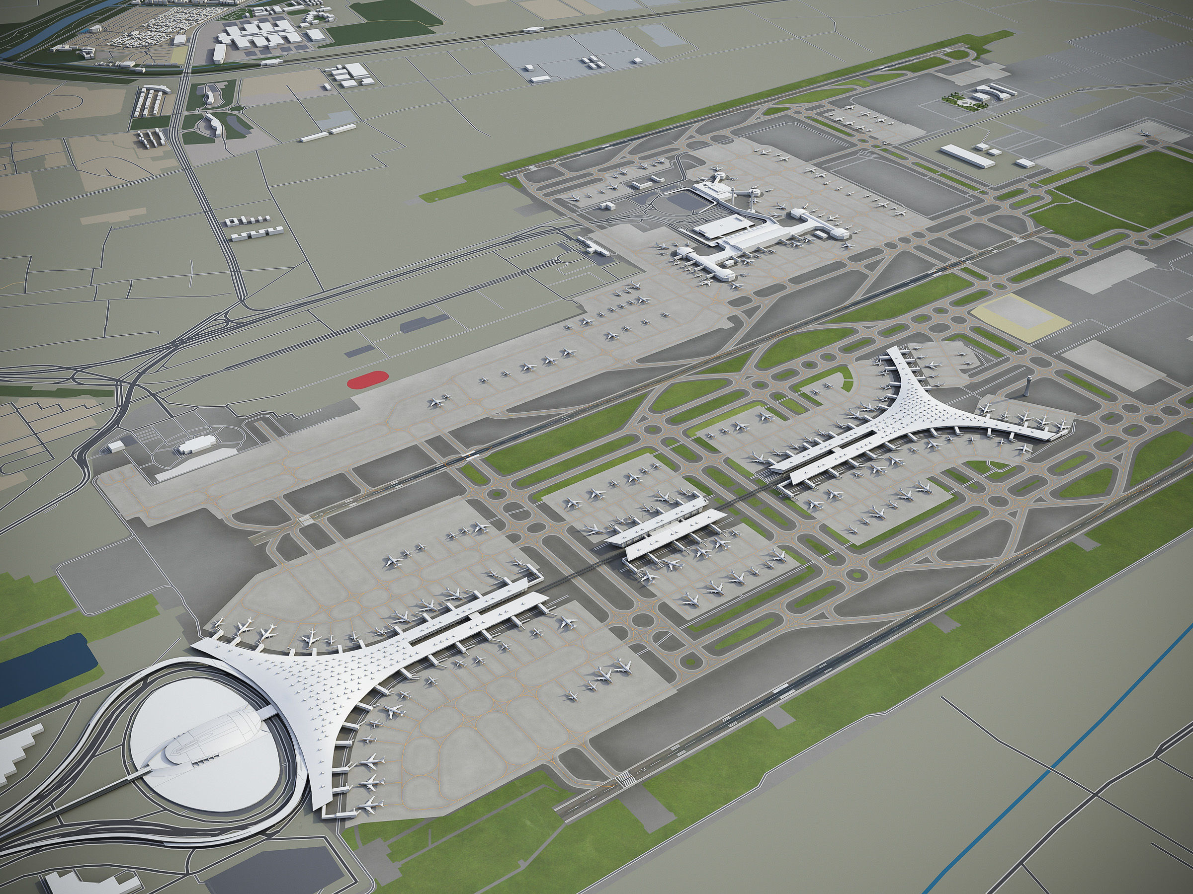
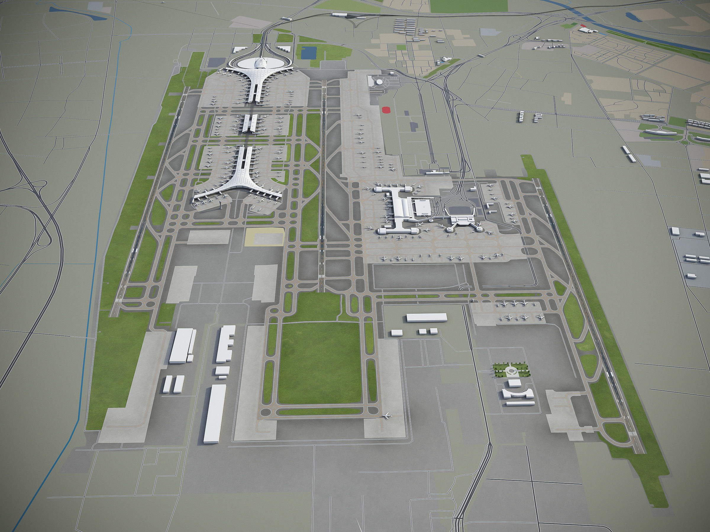
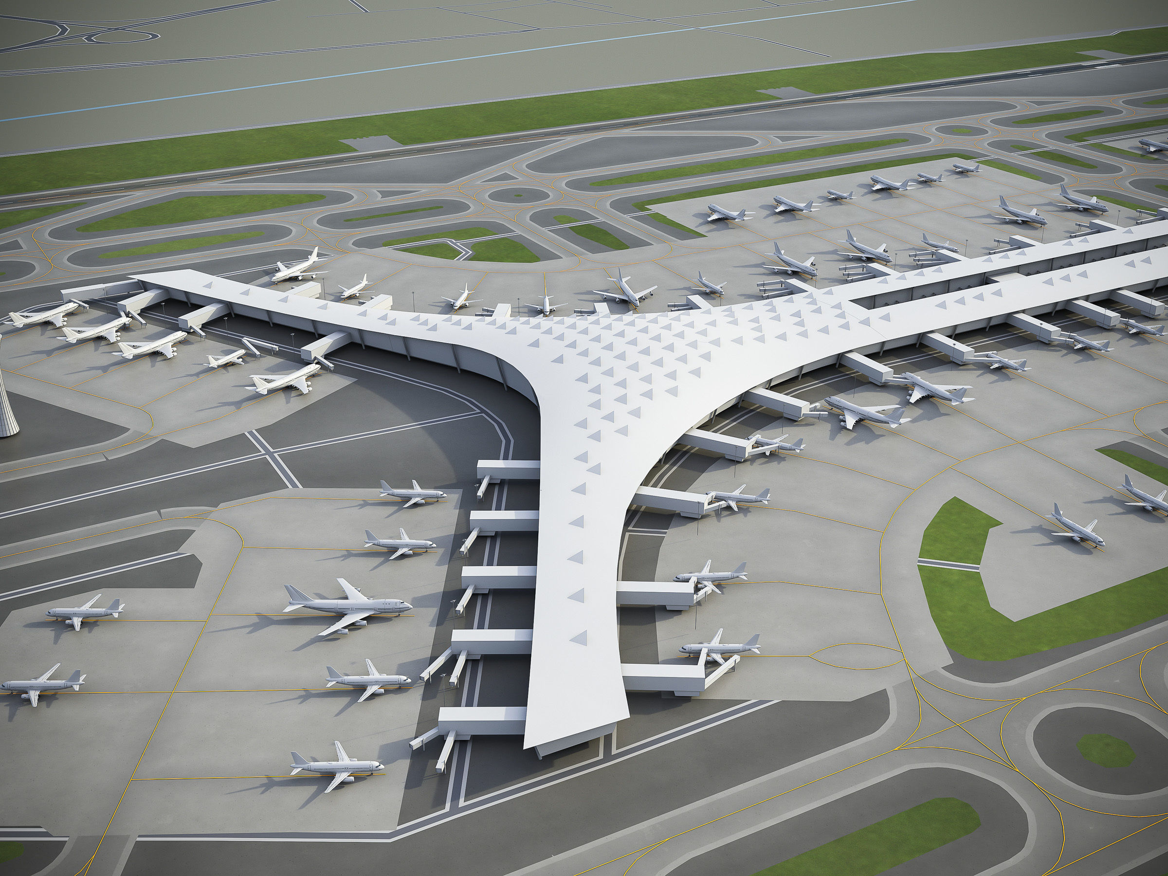
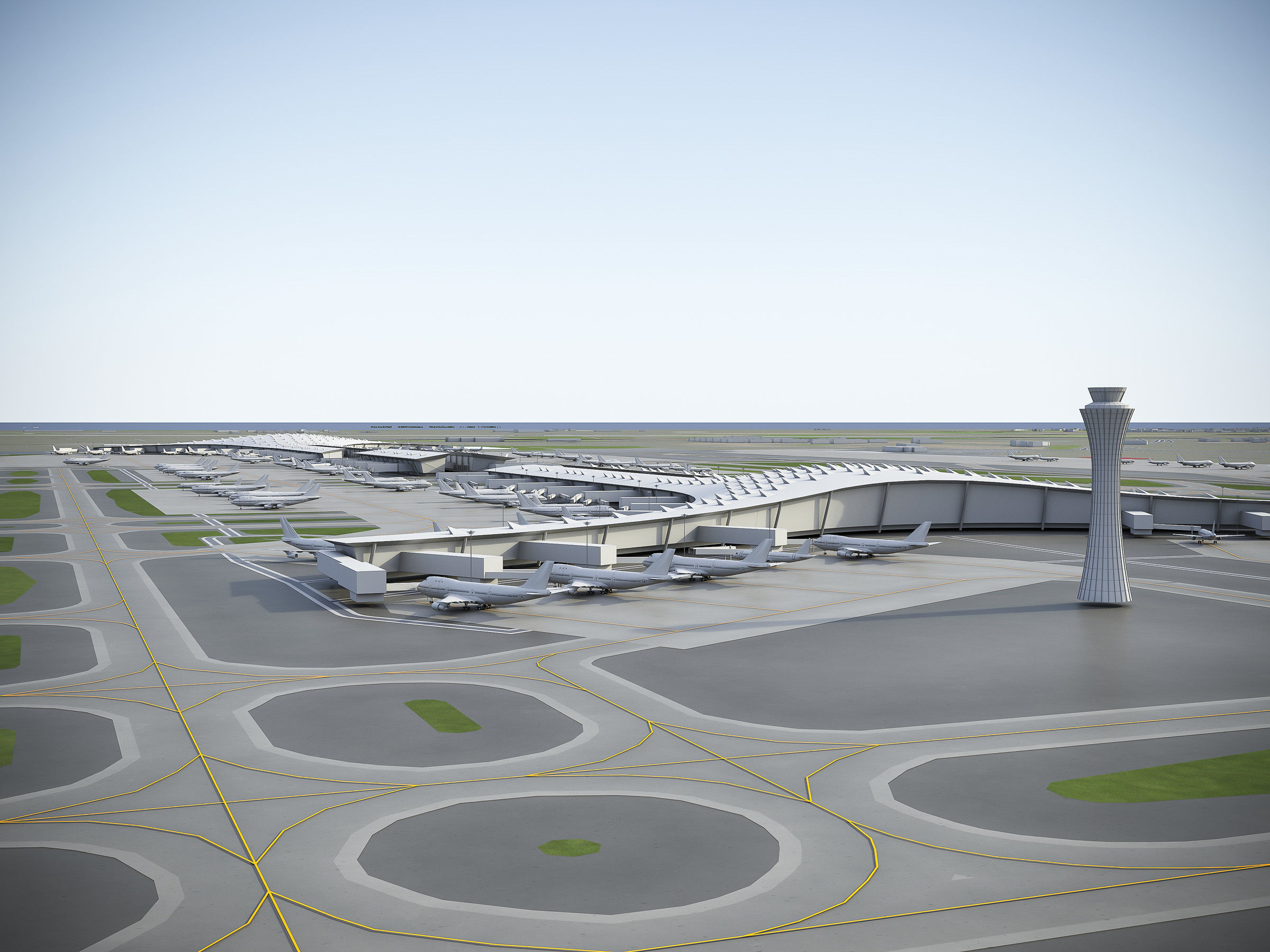
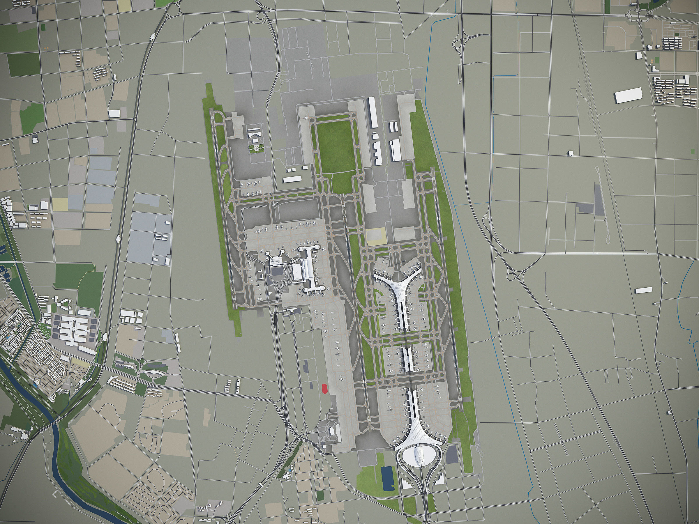
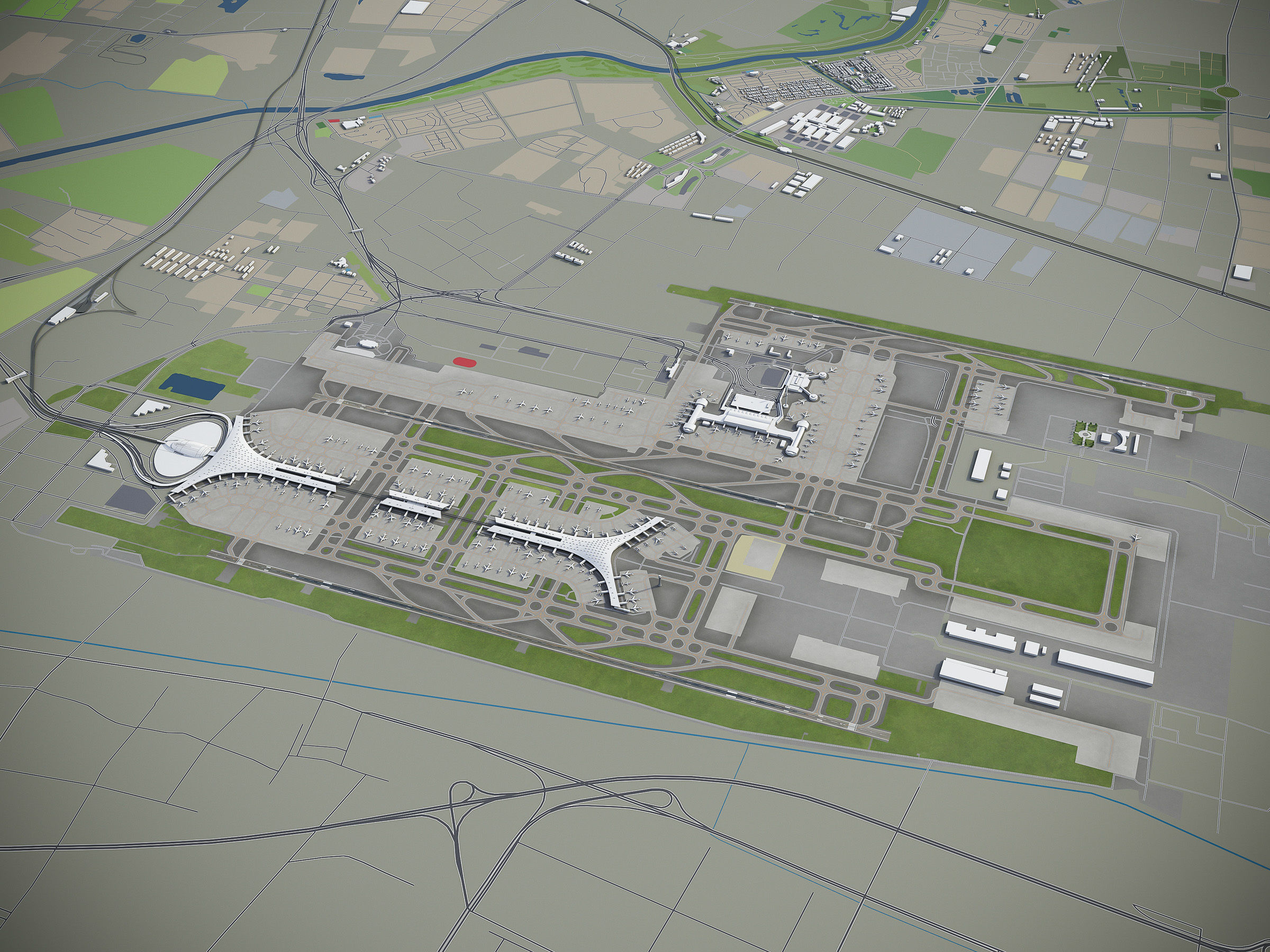
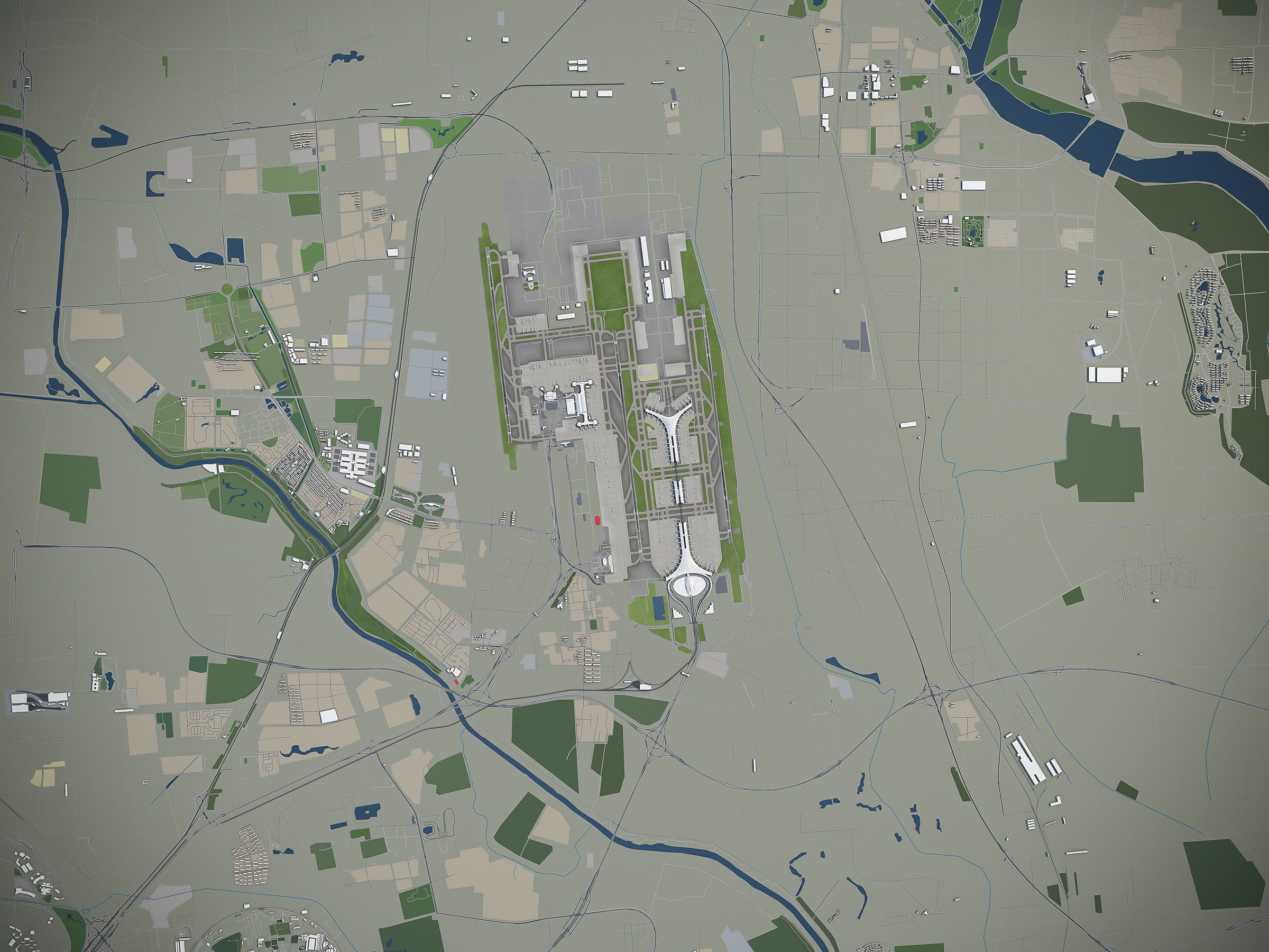
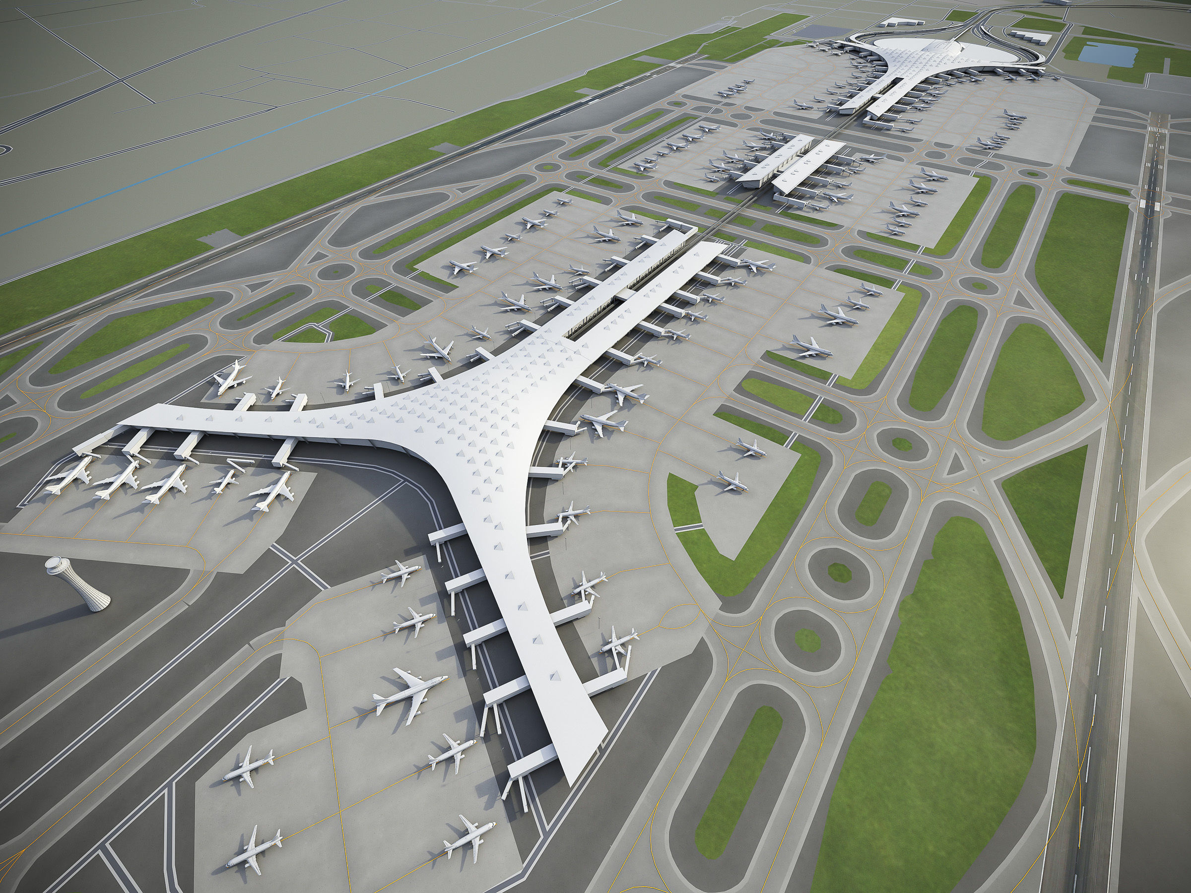
This is exact and accurate to scale 3D city model of Beijing region based on GIS data (January 2020)

  • This 3D city is georeferenced, exact and accurate to real-world scale
  • File units: Meters
  • Scale: 1:1

MEGAPACK

  • This collection includes 5 scenes of different size
  • You may purchase any scene with extra discount!
    • 120 x 120 km - Full scene
    • 40 x 40 km - Entire city (incl. airport)
    • 15 x 15 km - Beijing Capital International Airport (PEK)
    • 20 x 20 km - Beijing Daxing Airport (PKX)
    • 7 x 7 km - City center

FORMATS

  • MAX - 3dsMax (V-Ray and Standard materials)
  • FBX, OBJ, DAE - Exchange Formats
  • UNITYPACKAGE - Unity 3D
  • BLEND - Blender
  • SKP - SketchUp
  • 3DM - Rhino 3D

KEY BENEFITS

  • 100% buildings coverage from 125,192,184 buildings footprint polygon geometries in all U.S. States
  • Administrative boundaries as polygon geometries named accordingly
  • Surface is flat, easy to add details and edit geometry (terrain on request)
  • Buildings, landuse areas, roads and railways split by type (see scene stucture)
  • Realistic low-poly trees and street lamps (instance objects in a separate scene)
  • Road and railway splines for traffic animation
  • Public transport stops (placeholders with name)

USAGE

  • This model is suitable for visualization, AR/VR, real-time and game use, architecture, consulting, education
  • Perfect for town and urban planning, real estate and property development

SCENE STRUCTURE - model is organized by layers, all objects split by type and named properly

  • BUILDINGS
    • residential
    • detached houses
    • commercial
    • industrial
    • educational
    • public
    • sports
    • parkings
    • transport
    • religious
    • unclassified
  • ROADS
    • highways
    • primary
    • secondary
    • tertiary
    • residential
    • service
  • RAILWAYS
    • high-speed train
    • city tram
    • subway
    • monorail
    • construction
    • abandoned
  • PAVEMENT
    • pedestrian
    • sidewalk
    • paths
    • cycleway
  • LANDUSE
    • residential
    • rural
    • public
    • industrial
    • construction
    • agriculture
  • VEGETATION
    • forest
    • grass
    • scrub
    • park
    • garden
    • cemetery
    • recreation
  • LAND
    • land
    • sand
    • ground
    • wetland
  • WATER
    • coast
    • lake
    • river
    • stream
  • AIRPORT
    • building (terminal, gates)
    • apron
    • taxiway
    • runway
    • marking

SUPPORT - please send us a message 24/7

  • FREE - Product update with the latest GIS data
  • $199+ - Request any other city or area (same day delivery)
  • $99+ - Add terrain based on SRTM or LIDAR elevation data (3-5 LODs optimized)
Item rating
0 0
Beijing
$499.00
 
Royalty Free License 
Beijing
$499.00
 
Royalty Free License 
Response 99% in 0.1h
3D Modeling
Low-poly Modeling
UV mapping
Hire me

3D Collection formats

Format limitations
  • Autodesk FBX(.fbx) 3/3
  • Autodesk 3ds Max(.max) 3/3
  • Collada(.dae) 3/3
  • Sketchup(.skp) 3/3
  • OBJ(.obj) 3/3
  • OBJ(.mtl) 3/3
  • Blender(.blend) 3/3
  • Cinema 4D(.c4d) 1/3
  • DXF(.dxf) 1/3
  • Autodesk Maya(.ma) 1/3
  • Autodesk Maya(.mb) 1/3
  • Unity 3D(.unitypackage) 1/3
  • Unity 3D(.prefab) 1/3
  • Rhinoceros 3D(.3dm) 2/3
  • AutoCAD(.dwg) 1/3

3D Collection details

  • Publish date2019-09-20
  • Collection ID#2100670
  • Animated 0/3
  • Rigged 0/3
  • VR / AR / Low-poly 3/3
  • PBR 3/3
  • Ready for 3D Printing
Help
Chat