LOW POLY TASHKENT - THE REAL CITY, STREET FOR STREET
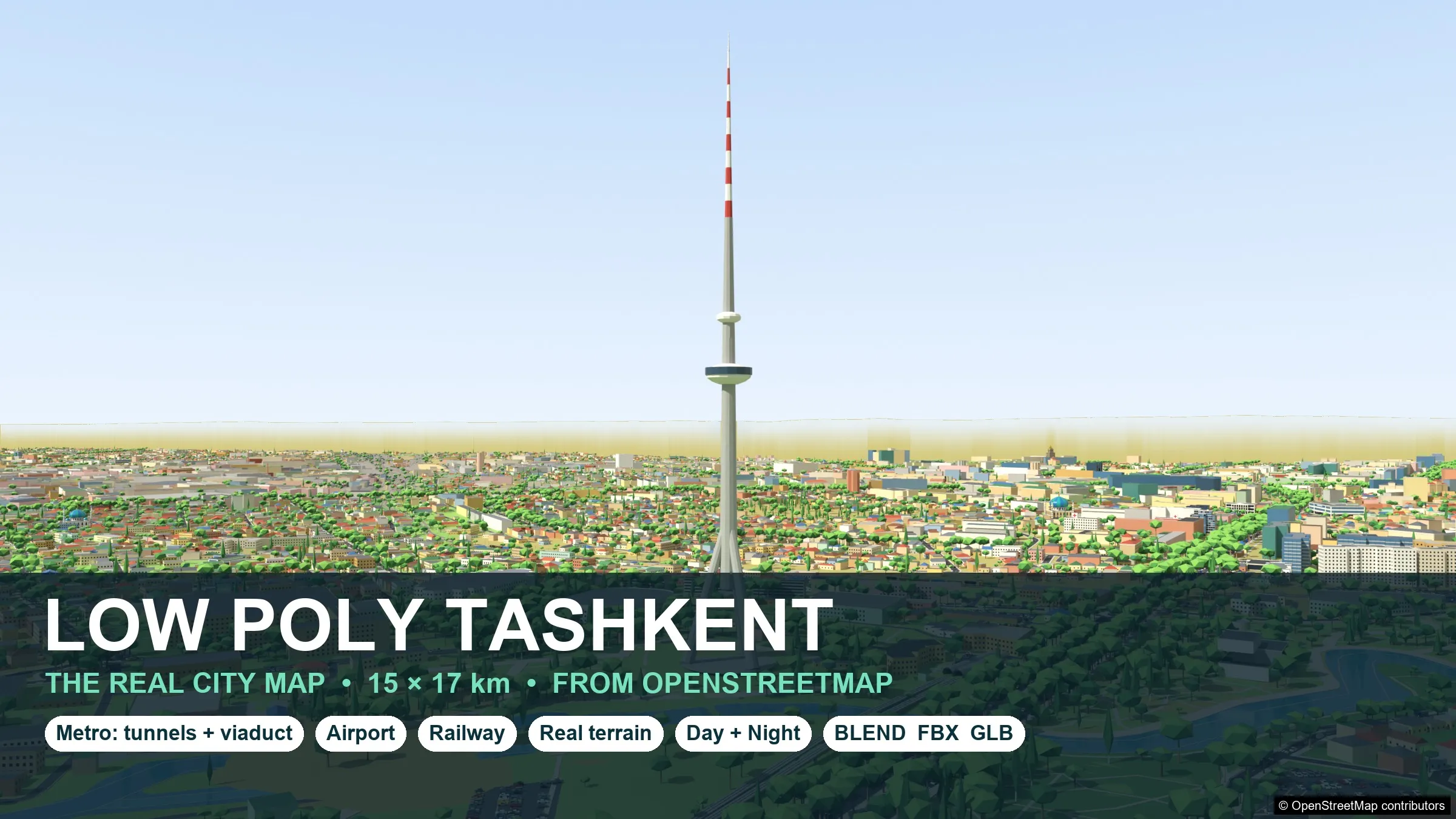
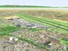
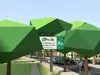
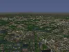
A flat-colour low-poly model of the real city of Tashkent, Uzbekistan, built from OpenStreetMap data: every mapped street, building footprint, park, canal, railway line, metro line and the international airport stand where they stand in reality. About 15 x 17 km around the Amir Temur square. No people.
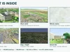
WHAT YOU GET
- The whole city as one Blender scene (day and night) and as 1021 tiles of 500 x 500 m (FBX and GLB each), so you can stream only what the camera sees.
- The central 7 x 7.5 km also as one FBX and one GLB (day and night).
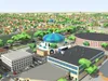
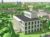
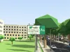
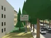
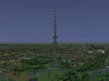
- 344,968 placed objects: about 160,000 procedural buildings plus about 6,000 detailed library buildings (TV Tower, Navoi Opera, Chorsu bazaar dome, mosques, stadiums, Soviet panel blocks, schools, hospitals ...), about 200,000 trees, 50,000 street lamps, 66,000 cars, traffic signals, crossings, bus stops, benches, billboards.
- Real relief: the city lies on its true terrain (about 110 m between south-west and north-east) and the Tien Shan foothills and mountains rise on the horizon.
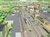
- Railway with station, platforms, catenary and trains. Two runways, taxiways, aprons, terminals and aircraft at the airport.
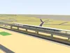
- The whole metro: about 84 km of bored tunnels (single track) 12 m below the ground, 44 stations with trains in the platforms, about 40 km of elevated line on a viaduct with piers, and all station entrances. Underground parts are separate objects: hide them for a clean surface or keep them for cut-away views and underground levels.
- instances.json: every placed asset [asset, mesh, x, y, z, yaw, scale, kind] - rebuild the city with your own prefabs in Unity, Unreal or Godot.
GAME-READY AND LIGHT
- One material and one 512 x 512 palette texture set for the whole city (base colour, ORM, emission). Flat shaded, hard edges, no UV unwrap per object.
- Buildings, trees, cars and props are instances that share mesh data; assets use automatic levels of detail by distance.
- Day and night versions: the night version lights windows, lamps and signals.
- Units are metres, Z up in Blender (Y up in FBX / GLB). Origin = Amir Temur square, latitude 41.3112, longitude 69.2797 - geo conversion formula in the README.
HONEST NOTES
- Map data is OpenStreetMap: it is incomplete in some districts and building heights are known only for some buildings, the rest are estimated from levels, footprint and type.
- Metro depth and viaduct height are typical values, not surveyed. Stations are generic modules; elevated stations have platforms but no separate station hall underneath. Cars, trains and aircraft stand in their rest pose in this scene: no animation is stored in the city files. Every vehicle is its own instance with position and heading in instances.json, so you can drive it with your own traffic system. The rigged and animated versions of the vehicles (wheels, doors, pantographs, propellers) belong to the vehicle, transit and airport packs of the series, which are not included.
- The one-file FBX / GLB cover the central 7 x 7.5 km only; the whole city is in the tiles and in the Blender files.
- The outer terrain (outside the mapped area) is a coarse low-poly mesh. The airfield is graded flat.
- This is a very large scene (hundreds of thousands of instances): load the tiles around your camera and stream the rest.
- Advertising on the billboards and banners is for the author's font service feekrfont.uz.
DATA ATTRIBUTIONContains information from OpenStreetMap, (c) OpenStreetMap contributors, available under the Open Database Licence (ODbL), https://www.openstreetmap.org/copyright . The model is a Produced Work; the raw OpenStreetMap data is not included. Please keep the notice (c) OpenStreetMap contributors with images of the model. Terrain from open elevation data (Terrain Tiles / SRTM and other open sources), smoothed.
PART OF THE LOW POLY TASHKENT SERIESThe city is built from the 15 Tashkent low-poly asset packs of the same series, which use the same palette texture.