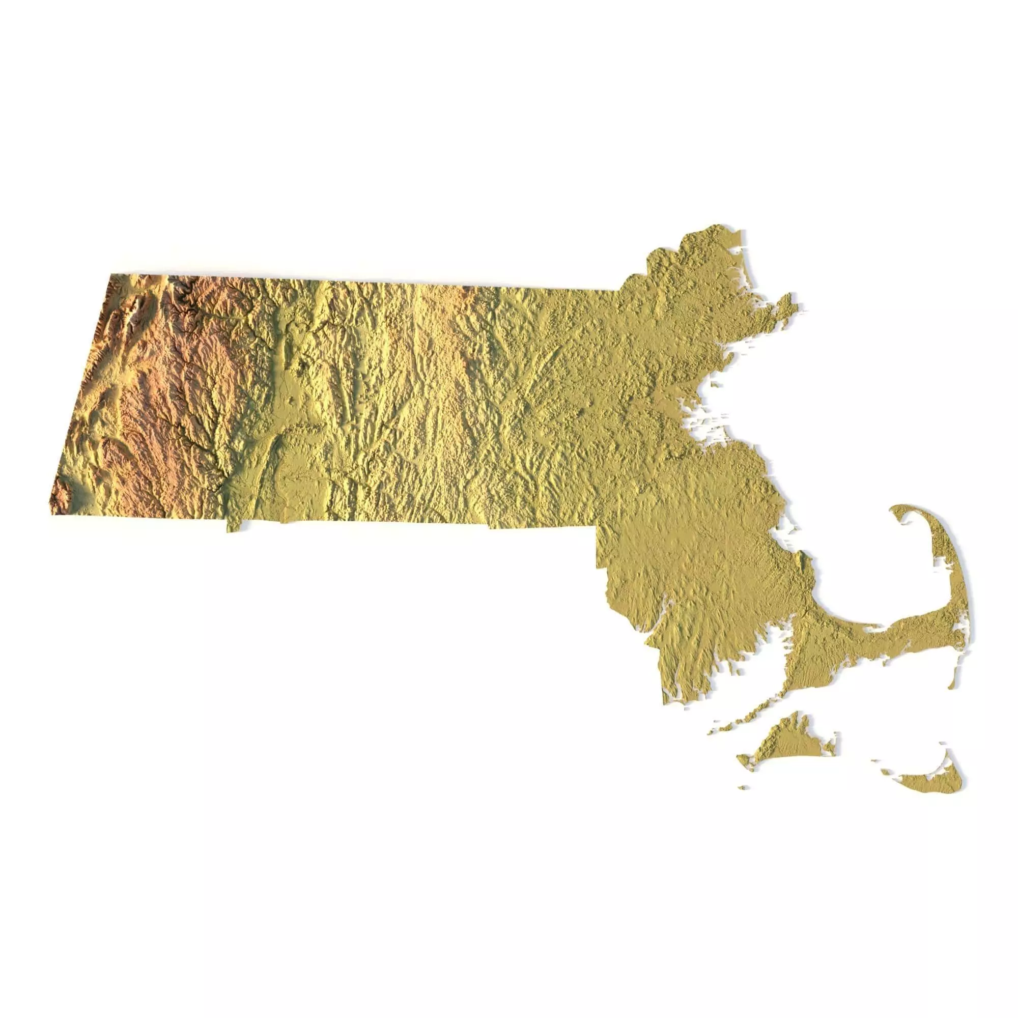
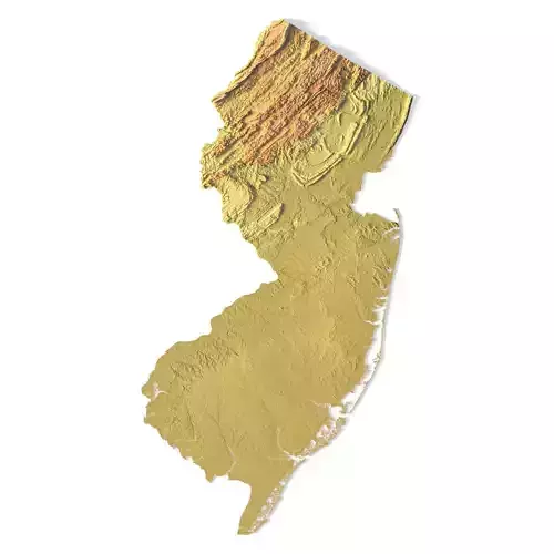
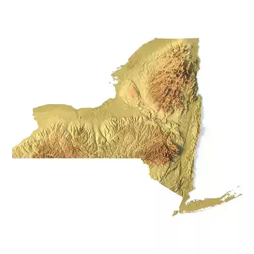
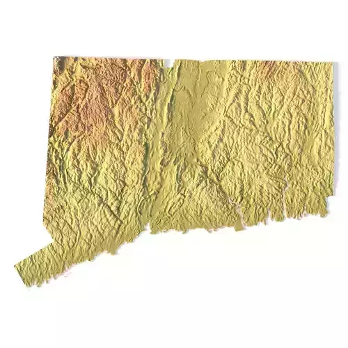
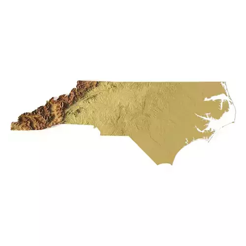
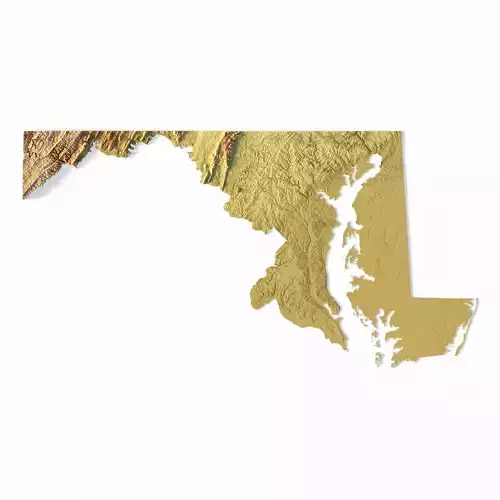
Create Detailed Massachusetts Terrain Models with This High-Resolution 3D STL
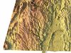
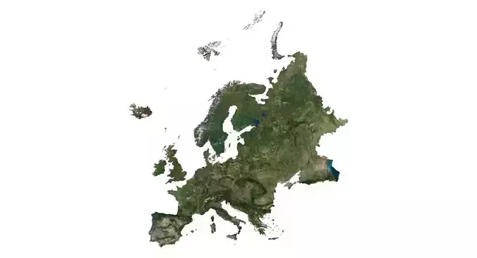
The Massachusetts Topographic Map STL model offers a high-resolution depiction of the state’s topography and geographic features. This 3D model is ideal for creating physical relief maps from materials like wood, metal, plastic, or concrete. Whether you’re using it for landform visualization, educational purposes, or professional GIS projects, this model provides accurate elevation data for detailed terrain modeling. Suitable for 3D printing, CNC machining, and laser engraving.
- File size: 649 MB / 400 MB
- Model size: 159.36 mm x 98.49 mm x 1.397 mm
- Resolution: 0,03 mm
- Projection: Mercator
- Scaling factor: X — 1; Y — 1; Z — 3
- Polygons: 13 630 648
- Vertices: 6 845 864
- Geometry: Polygonal Tris only
- Base: Open / Closed
Features of the Massachusetts Topographic STL Model
Precise elevation data capturing Massachusetts’ diverse landforms, including its coastal regions and hilly landscapes.Compatible with FDM/SLA 3D printers for creating detailed terrain models.Designed for CNC machining to craft relief maps from wood or metal.Supports high-precision laser engraving for metal surface detailing.