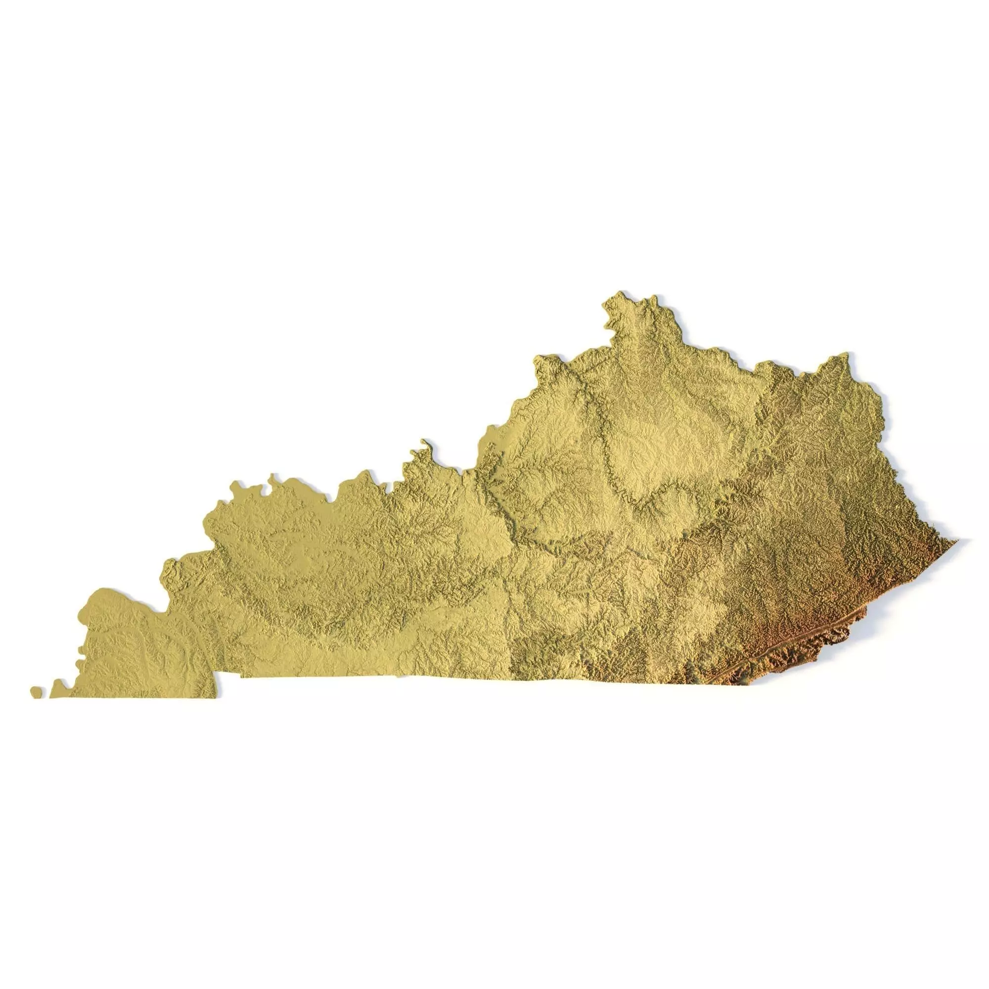
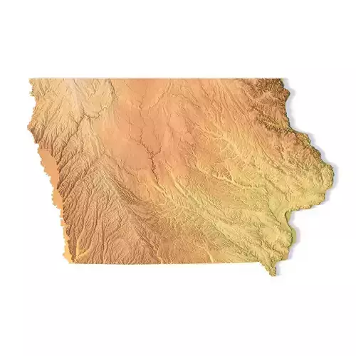
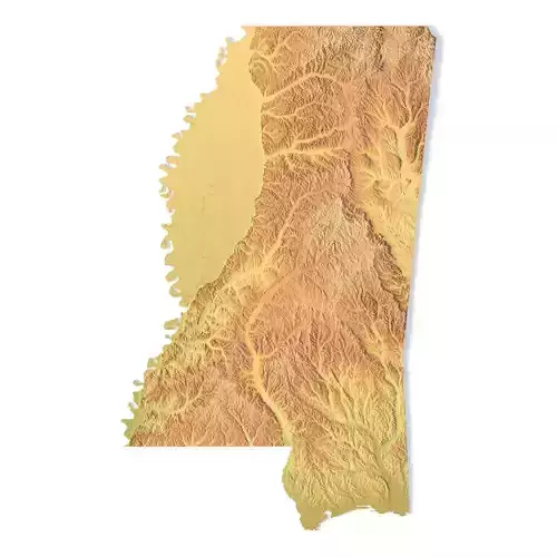
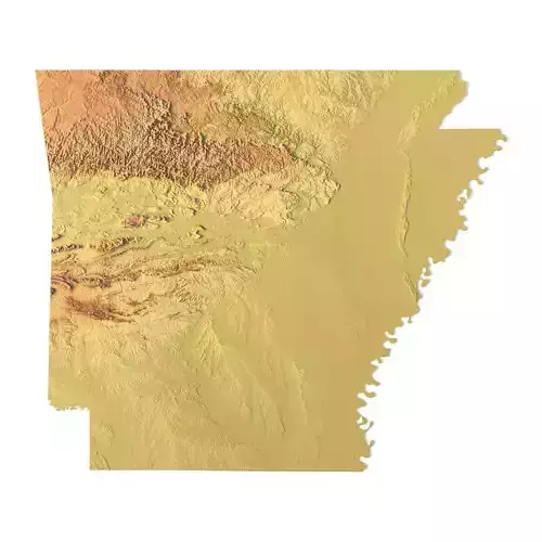
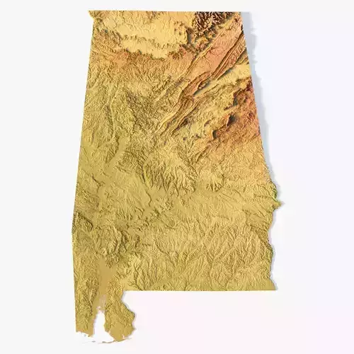
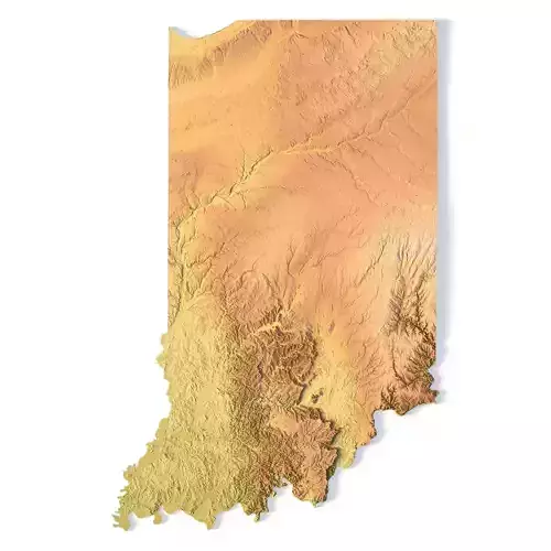
Create Detailed Kentucky Terrain Models with This High-Resolution 3D STL
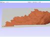
The Kentucky Topographic Map STL model offers a high-resolution depiction of the state’s topography and distinctive geographic features. This 3D model is perfect for crafting physical relief maps from materials such as wood, metal, plastic, or concrete. Whether used for landform visualization, educational purposes, or professional GIS projects, this model provides precise elevation data for accurate terrain modeling. Suitable for 3D printing, CNC machining, and laser engraving.
- File size: 704 MB / 506 MB
- Model size: 338.58 mm x 148.74 mm x 1.628 mm
- Resolution: 0,06 mm
- Projection: Mercator
- Scaling factor: X — 1; Y — 1; Z — 3
- Polygons: 14 778 224
- Vertices: 7 399 968
- Geometry: Polygonal Tris only
- Base: Open / Closed**Features of the Kentucky Topographic STL Model**
Detailed elevation data capturing Kentucky’s hills, valleys, and diverse landforms.Compatible with FDM/SLA 3D printers for creating detailed terrain models.Designed for CNC machining to craft topographic maps from wood or metal.Supports high-precision laser engraving for metal surface detailing.