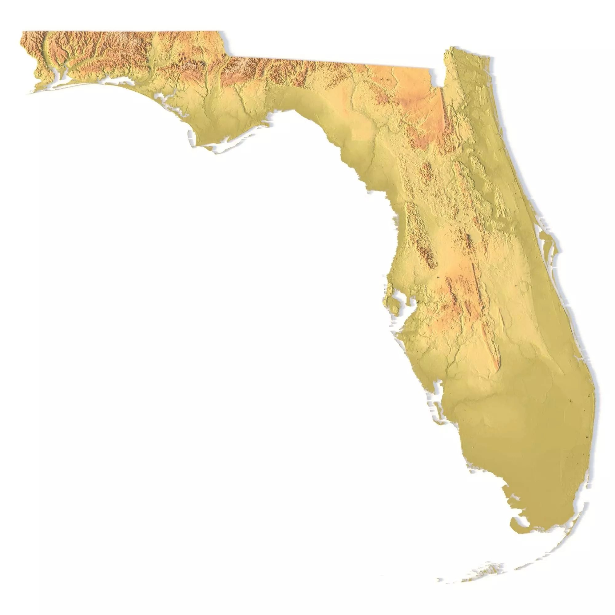
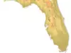
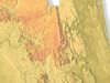
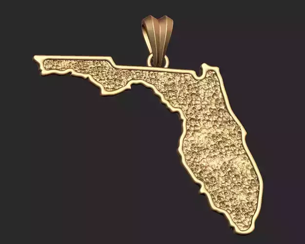
Create Detailed Florida Terrain Models with This 3D STL File
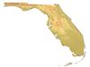
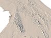
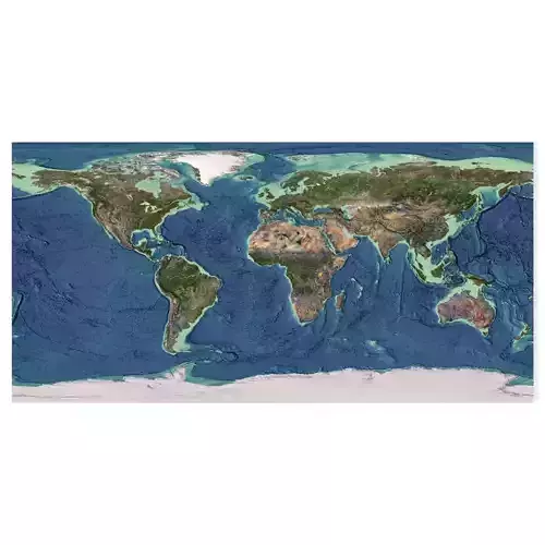
The Florida Topographic Map STL model provides an accurate representation of the state’s topography and elevation. Ideal for crafting physical models from wood, metal, plastic, or concrete, this 3D model is perfect for creating raised relief maps and visualizing terrain features. It is designed for professionals and hobbyists looking to capture Florida’s unique geographical features using GIS data for precise landscape modeling.
- File size: 808 MB / 400 MB
- Model size: 338.4 mm x 324.42 mm x 0.246 mm
- Resolution: 0,06 mm
- Projection: Mercator
- Scaling factor: X — 1; Y — 1; Z — 3
- Polygons: 16 958 128
- Vertices: 8 530 608
- Geometry: Polygonal Tris only
- Base: Open / Closed
Features of the Florida Topographic STL Model
Compatible with FDM/SLA 3D printers for creating physical models.Works with CNC machines for wood or metal terrain carving.Supports laser engraving for high-precision topographic detail on metal surfaces.