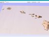
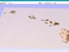
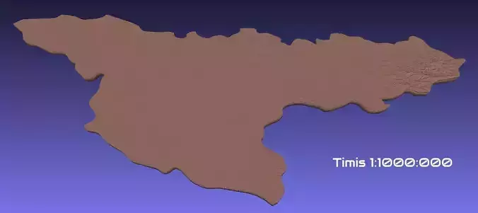
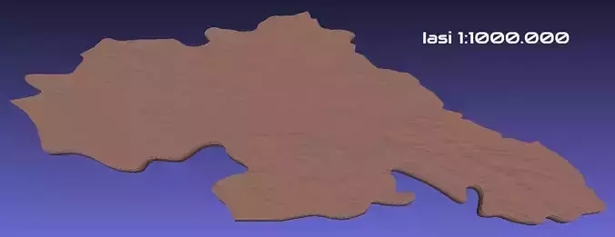
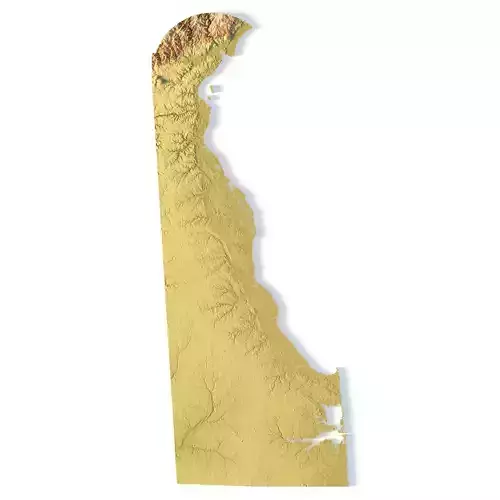
Create Detailed Hawaii Terrain Models with This 3D STL File
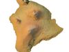
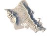
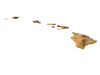
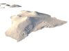
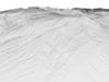
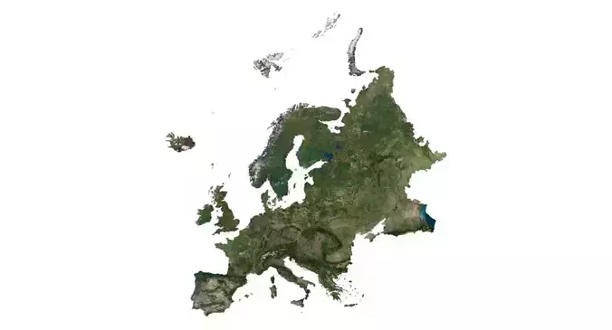
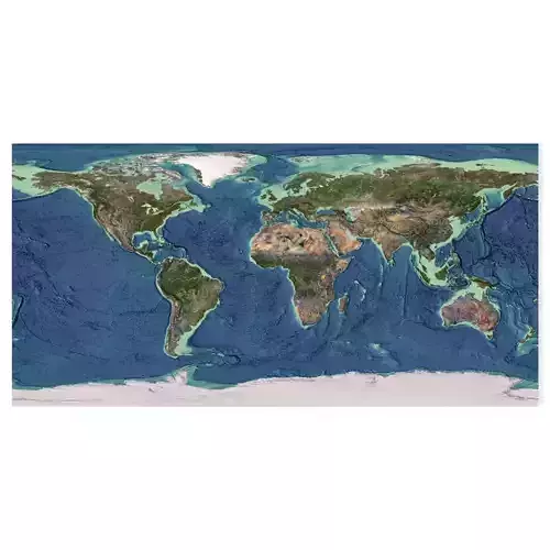
The Hawaii Topographic Map STL model captures the unique island elevation and topographic features of the Hawaiian Islands. This 3D model is ideal for creating relief models from wood, metal, plastic, or concrete. Designed for professionals and hobbyists alike, this model is perfect for landform visualization, educational projects, or geographic studies. Whether for the Big Island or other regions, this file provides detailed geospatial data for accurate terrain representation.
- File size: 451 MB / 400 MB
- Model size: 242.231 mm х 157.076 mm х 5.171 mm
- Resolution: 0,026 mm
- Projection: Mercator
- Scaling factor: X — 1; Y — 1; Z — 3
- Polygons: 9 470 750
- Vertices: 4 753 696
- Geometry: Polygonal Tris only
- Base: Open / Closed
Features of the Hawaii Topographic STL Model
Compatible with FDM/SLA 3D printers for terrain model creation.Supports CNC machining for wood and metal topographic models.High-precision laser engraving for metal surfaces.