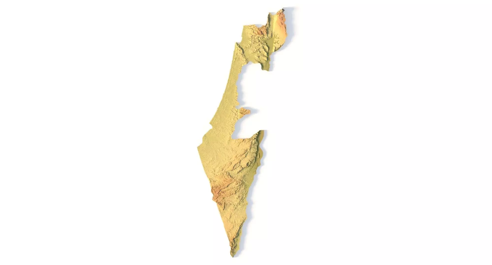
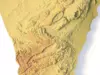
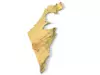
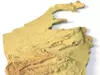
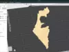
The Israel Topographic Map is a high-resolution STL terrain model based on precise digital elevation model (DEM) data. This printable Israel map STL accurately represents the country’s landscapes, including the Judean Mountains, Negev Desert, coastal plains, and the Dead Sea basin.
Whether you need a 3D printable Israel relief map for education, design, or CNC production, this model is optimized for PLA, resin, wood, metal, and other materials. It is perfect for geography enthusiasts, architects, and designers.
- Realistic Terrain – Based on accurate geospatial DEM data for true-to-life topography.
- 3D Printing Ready – Clean, optimized STL file for FDM and SLA printers.
- CNC Israel Map Carving – Ideal for wood, aluminum, or acrylic engraving.
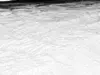
- Closed Base – Strong, stable model suitable for different scales.
Specifications:
- File size: 265 MB
- Size: 181 × 502 × 11 mm
- Projection: Mercator
- Scaling factor: X — 0.001; Y — 0.001; Z — 0.003
- Polygons: 5,560,668
- Vertices: 2,780,235
Example Uses:
- Create a raised-relief map of Israel for classrooms
- CNC carve a detailed terrain model for exhibitions or souvenirs
- Produce custom wall maps or geography-themed gifts
- Use in architectural and landscape presentations