DESCRIPTION

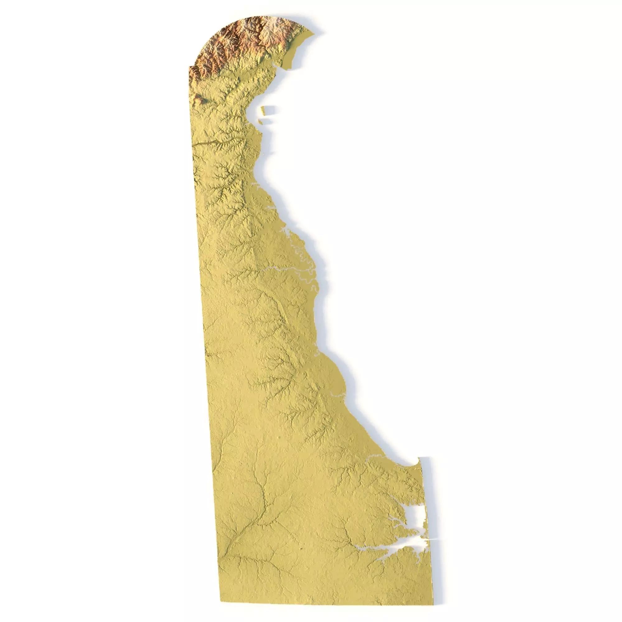
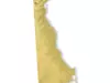
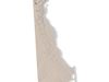
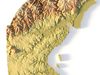
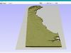
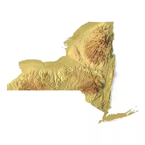
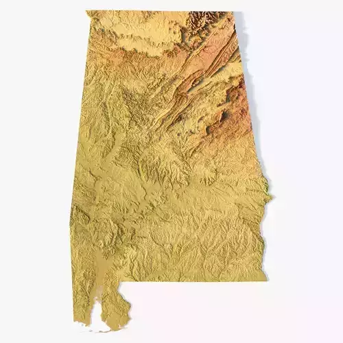
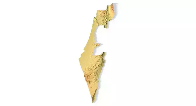
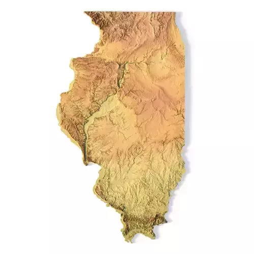
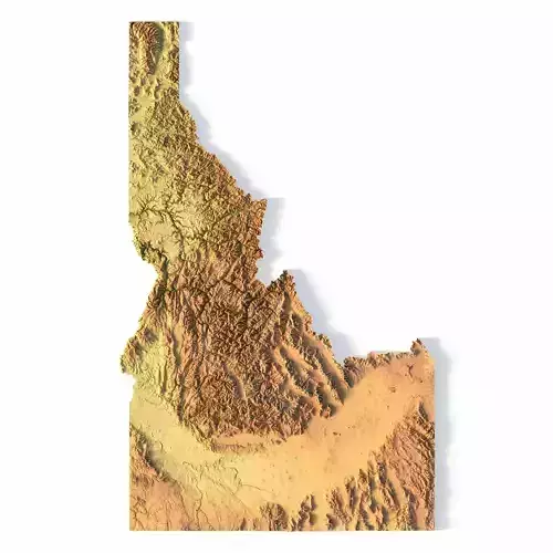
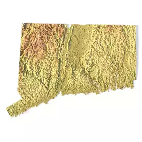
Create Precise Delaware Terrain Models with This 3D STL File

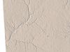
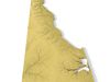
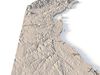
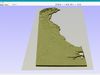
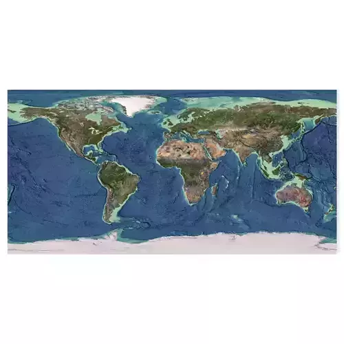
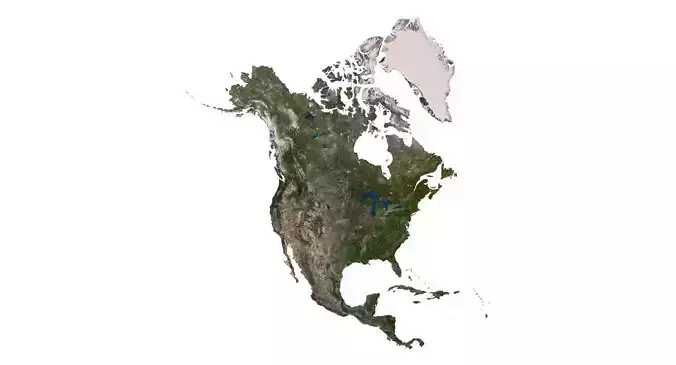
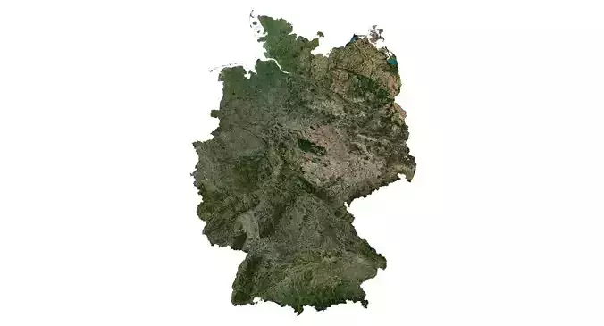
The Topographic Map Delaware STL model offers a highly detailed relief map of Delaware’s landscape. Perfect for creating physical models from wood, metal, plastic, or concrete, this 3D model is ideal for terrain visualization and landform representation. Whether for educational projects, geospatial analysis, or personal use, this model provides accurate elevation data of Delaware’s terrain.

  • File size: 144 MB
  • Model size: 32.91 mm x 79.38 mm x 0.284 mm
  • Projection: Mercator
  • Scaling factor: X — 1; Y — 1; Z — 3
  • Polygons: 3 039 422
  • Vertices: 1 528 786
  • Geometry: Polygonal Tris only
  • Base: Closed

Features of the Delaware Topographic STL Model

Compatible with FDM/SLA 3D printers to create terrain models in plastic or photopolymer.Designed for CNC machines for creating wood or metal models.Supports high-precision laser engraving for metal surface relief maps.

REVIEWS & COMMENTS

See what other buyers think about this model - real feedback on quality,
accuracy, and usability.
There are no reviews or comments yet. Please be the first one to write it.
BEST PRICE GUARANTEED
Found this model cheaper on another marketplace? Let our support team know - we’ll match it.

Topographic Map Delaware STL Model 3D print model

Royalty Free License
Hire
Like this model to show appreciation to the designer.
See how many times this model was viewed.
Share this model to support the designer and boost their visibility.
File format
STL
Stereolithography<br />File Size: 121 MB
Provided by designer
Information and details shared directly by the model's designer.
3D printing
Indicates whether the designer marked this model as suitable for 3D printing.
Model is prepared for 3D printing
The designer indicates this model is prepared for physical 3D printing and includes printable file formats.
Units
Publish date
Model ID
Chat