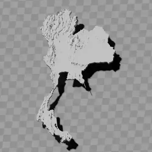
Vietnam topography raised relief map set / geography kit
Includes several models:
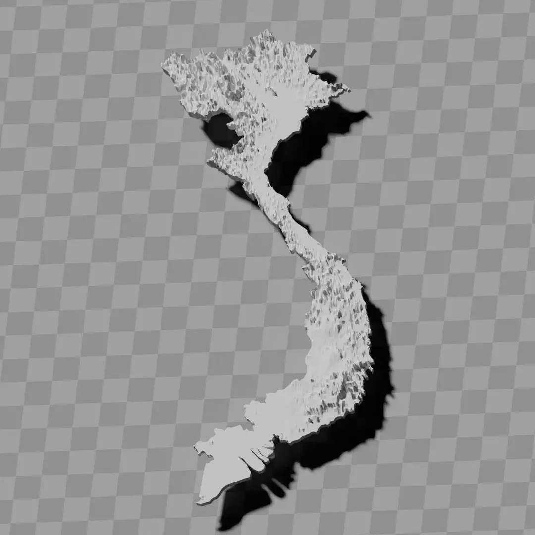
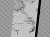
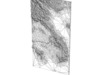
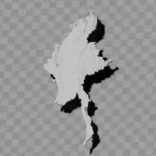
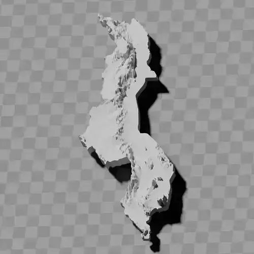
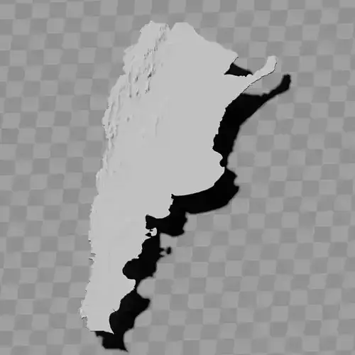
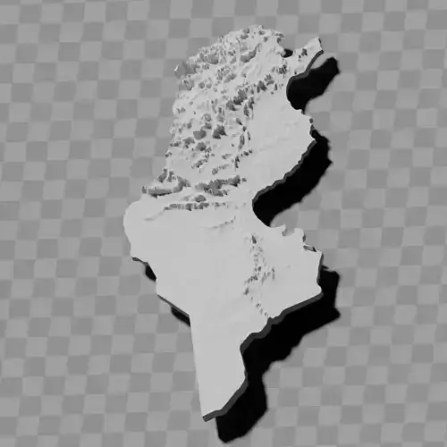
a cutout with exaggerated terrain / topography [Mercator-projection-distorted version + undistorted version]
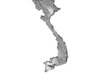
simplified version(s) with reduced polygon counts via quadratic decimation
non-cutout versions of the tolopgy [Mercator-projection-distorted version + undistorted version]
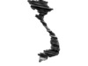
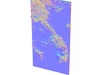
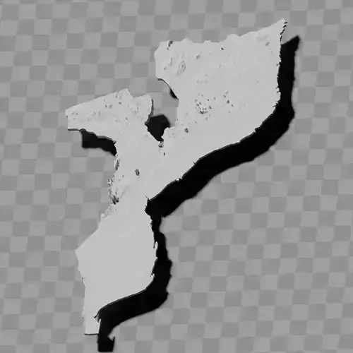
a simple 'prism' [flat-surfaced cutout of the country's boundaries with no topology features added]
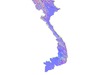
'expanded' version which is a convex hull of the prism. You can use this as a 'base' to stabilize the model to avoid problems with small details breaking off if you try to 3d print it.
includes STL and OBJ formats. non-textured.
~~~~~~~~~~~~~~~~~~~~~~~~~~~~~~~~~~~~~~~~~~
Bộ bản đồ địa hình nổi / bộ dụng cụ địa lý Việt Nam
Bao gồm nhiều mô hình:
Mô hình cắt với địa hình / địa hình học được phóng đại [Phiên bản bị biến dạng theo phép chiếu Mercator + phiên bản không bị biến dạng]
(Các) phiên bản đơn giản hóa với số lượng đa giác giảm thông qua phương pháp giảm bớt bậc hai
Các phiên bản không cắt của địa hình học [Phiên bản bị biến dạng theo phép chiếu Mercator + phiên bản không bị biến dạng]
Một 'lăng kính' đơn giản [Mô hình cắt mặt phẳng của đường biên giới quốc gia không có các đặc điểm địa hình học]
Phiên bản 'mở rộng' là một vỏ lồi của lăng kính. Bạn có thể sử dụng nó làm 'đế' để ổn định mô hình, tránh vấn đề về các chi tiết nhỏ bị vỡ nếu bạn cố gắng in 3D.
Bao gồm các định dạng STL và OBJ. Không có kết cấu.