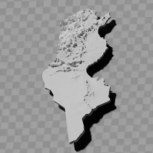
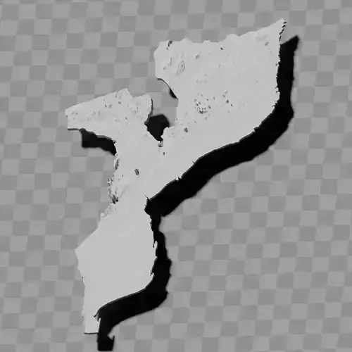
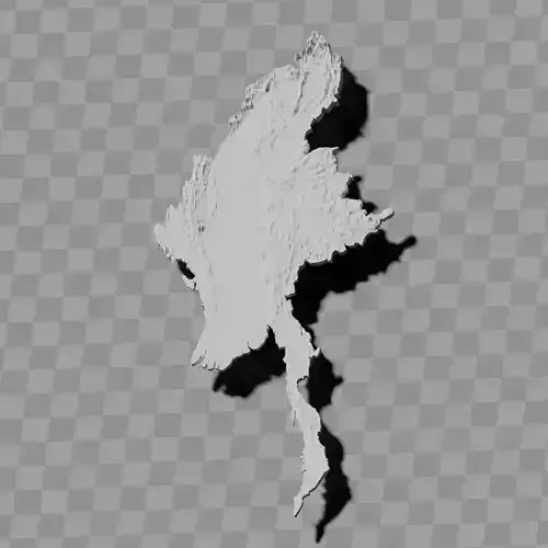
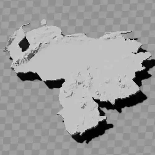
Thailand topography raised relief map collection / geography kit
Includes several models:
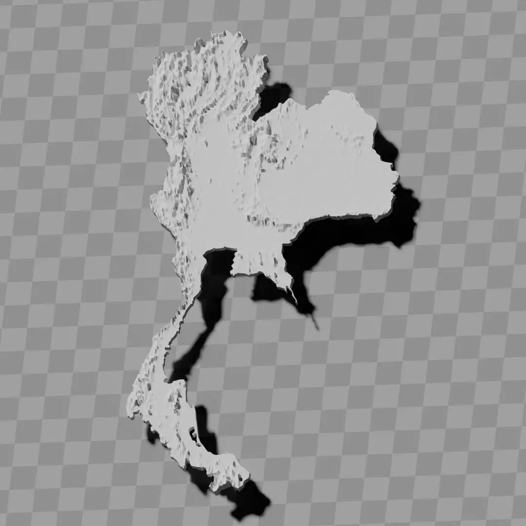
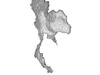
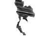
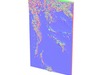
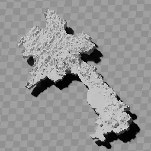
a cutout with exaggerated terrain / topography [Mercator-projection-distorted version + undistorted version]
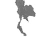
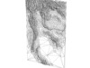
simplified version(s) with reduced polygon counts via quadratic decimation
non-cutout versions of the tolopgy [Mercator-projection-distorted version + undistorted version]
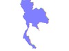
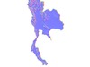
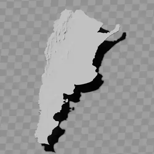
a simple 'prism' [flat-surfaced cutout of the country's boundaries with no topology features added]
'expanded' version which is a convex hull of the prism. You can use this as a 'base' to stabilize the model to avoid problems with small details breaking off if you try to 3d print it.
includes STL and OBJ formats. non-textured.
~~~~~~~~~~~~~~~~~~~~~~~~~~~~~~~~~~~~~~~~~~
แผนที่นูนแสดงภูมิประเทศของประเทศไทย / ชุดภูมิศาสตร์
ประกอบด้วยโมเดลหลายแบบ:
แบบตัดเว้าที่แสดงภูมิประเทศ / ภูมิสัณฐานแบบเกินจริง [เวอร์ชันที่บิดเบือนด้วยการฉายแผนที่แบบเมอร์เคเตอร์ + เวอร์ชันที่ไม่บิดเบือน]
เวอร์ชันที่ถูกทำให้ง่ายขึ้นโดยลดจำนวนพอลิกอนผ่านการลดทอนแบบกำลังสอง
เวอร์ชันที่ไม่ตัดเว้าของภูมิสัณฐาน [เวอร์ชันที่บิดเบือนด้วยการฉายแผนที่แบบเมอร์เคเตอร์ + เวอร์ชันที่ไม่บิดเบือน]
'ปริซึม' อย่างง่าย [แบบตัดเว้าพื้นผิวเรียบของขอบเขตประเทศโดยไม่เพิ่มลักษณะภูมิสัณฐาน]
เวอร์ชัน 'ขยาย' ซึ่งเป็นเปลือกนูนของปริซึม สามารถใช้เป็น 'ฐาน' เพื่อทำให้โมเดลมั่นคง หลีกเลี่ยงปัญหารายละเอียดเล็กๆ หลุดออกเมื่อพิมพ์ 3 มิติ
มีทั้งรูปแบบ STL และ OBJ ไม่มีพื้นผิว