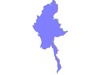
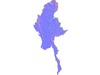
Myanmar topographic relief map collection / geography kit
Includes several models:
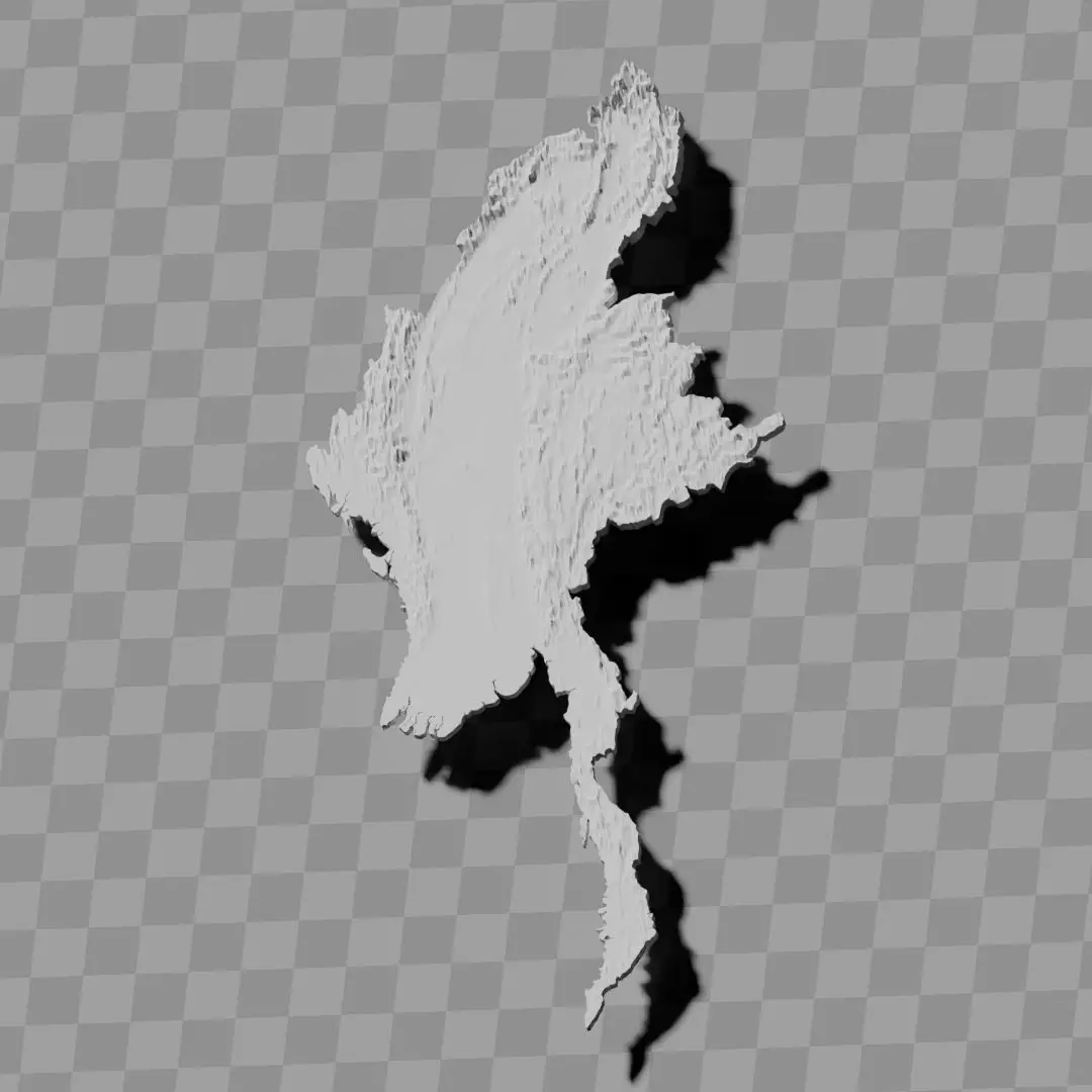
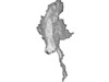
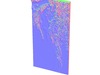
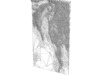
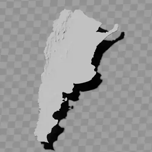
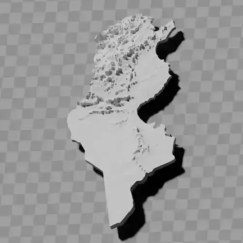
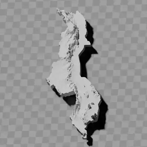
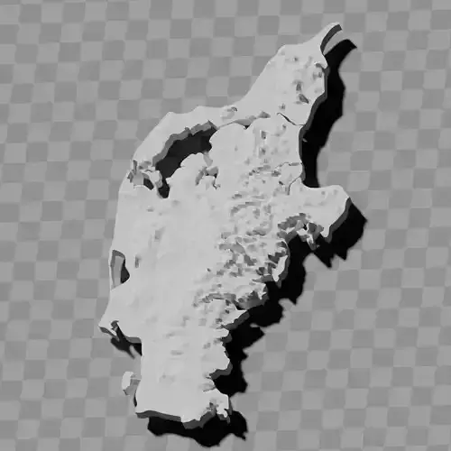
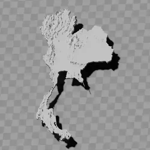
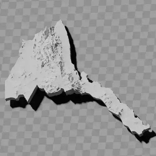
a cutout with exaggerated terrain / topography [Mercator-projection-distorted version + undistorted version]
simplified version(s) with reduced polygon counts via quadratic decimation
non-cutout versions of the tolopgy [Mercator-projection-distorted version + undistorted version]
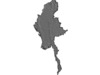
a simple 'prism' [flat-surfaced cutout of the country's boundaries with no topology features added]
'expanded' version which is a convex hull of the prism. You can use this as a 'base' to stabilize the model to avoid problems with small details breaking off if you try to 3d print it.
includes STL and OBJ formats. non-textured.
~~~~~~~~~~~~~~~~~~~~~~~~~~~~~~~~~~~~~~~~~~
မြန်မာ မြင့်မားရုပ်သွင်ပြမြေပုံ စုစည်းမှု / ပထဝီဝင်ကိရိယာအစုံ
အောက်ပါမော်ဒယ်များ ပါဝင်သည်:
ချဲ့ကားထားသော ကုန်းမြေသွင်ပြင် / မြေမျက်နှာသွင်ပြင်ပါ ဖြတ်ထုတ်ပုံစံ [မာကေတာပရိုဂျက်ရှင်ဖြင့် ပုံပျက်ထားသောဗားရှင်း + ပုံမပျက်ဗားရှင်း]
စတုဂံဖြတ်တောက်မှုဖြင့် ပိုလီဂွန်အရေအတွက်လျှော့ချထားသော ရိုးရှင်းဗားရှင်း(များ)
မြေမျက်နှာသွင်ပြင်ပါ ဖြတ်ထုတ်မထားသောဗားရှင်းများ [မာကေတာပရိုဂျက်ရှင်ဖြင့် ပုံပျက်ထားသောဗားရှင်း + ပုံမပျက်ဗားရှင်း]
ရိုးရှင်းသော 'ပရစ်ဇင်' [မြေမျက်နှာသွင်ပြင် လက္ခဏာများ မပါဘဲ နိုင်ငံနယ်နိမိတ်ကို မျက်နှာပြင်ညီဖြင့် ဖြတ်ထုတ်ထားသောပုံစံ]
ပရစ်ဇင်၏ ကွန်ဗက်အခွံဖြစ်သော 'ချဲ့ထွင်' ဗားရှင်း။ 3D ပုံနှိပ်ရာတွင် အသေးစိတ်အချက်များ ကျိုးပဲ့ခြင်းပြဿနာကို ရှောင်ရှားရန် မော်ဒယ်ကို တည်ငြိမ်စေသော 'အခြေခံ' အဖြစ် အသုံးပြုနိုင်သည်။
STL နှင့် OBJ ဖော်မတ်များ ပါဝင်သည်။ အရောင်အဆင်းမပါ။