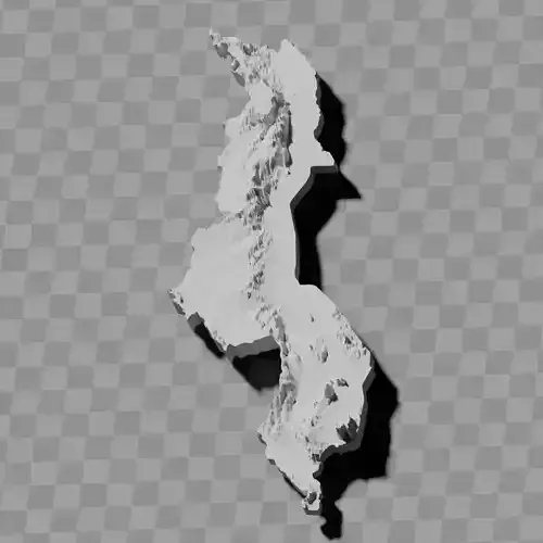
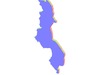
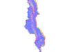
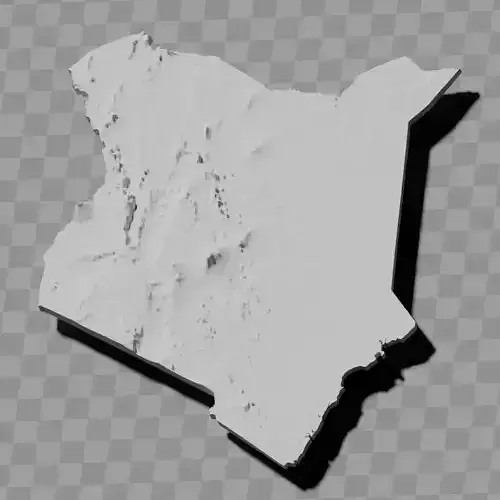
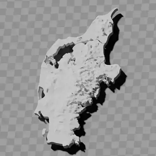
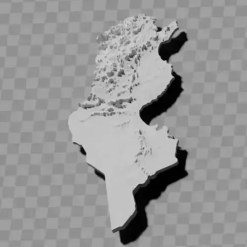
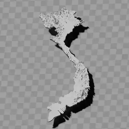
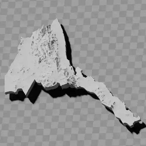
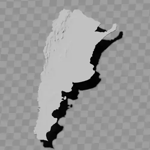
Malawi topography relief maps terrain / geography kit
Includes several models:
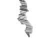
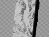
a cutout with exaggerated terrain / topography [Mercator-projection-distorted version + undistorted version]
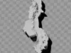
simplified version(s) with reduced polygon counts via quadratic decimation
non-cutout versions of the tolopgy [Mercator-projection-distorted version + undistorted version]
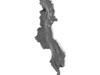
a simple 'prism' [flat-surfaced cutout of the country's boundaries with no topography features added]
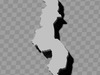
'expanded' version which is a convex hull of the prism. You can use this as a 'base' to stabilize the model to avoid problems with small details breaking off if you try to 3d print it.
includes STL and OBJ formats. non-textured.
~~~~~~~~~~~~~~~~~~~~~~~~~~~~~~~~~~~~~~~~~~
Mapeto ya nyanja ya Malawi / seti ya jografia
Imaphatikizapo mamodelo angapo:
chidule ndi nyanja yowonjezeredwa / topography [mtundu wosokonezedwa wa Mercator-projection + mtundu wosayika]
mtundu wosavuta (kapena mitundu) ndi chiwerengero chotsika cha polygon kudzera mu kuchepetsa kwa quadratic
mitundu yosadula ya topography [mtundu wosokonezedwa wa Mercator-projection + mtundu wosayika]
'prism' yosavuta [chidule cha malire a dziko ndi nyanja yosalala popanda zinthu za topography]
mtundu 'wokulitsidwa' umene ndi convex hull ya prism. Mukhoza kugwiritsa ntchito izi ngati 'maziko' kuti mukhazikitse modelu kuti mupewetse mavuto a zinthu zazing'ono kusweka ngati muyesa ku 3D print.
imaphatikizapo maonekedwe a STL ndi OBJ. opanda texture.