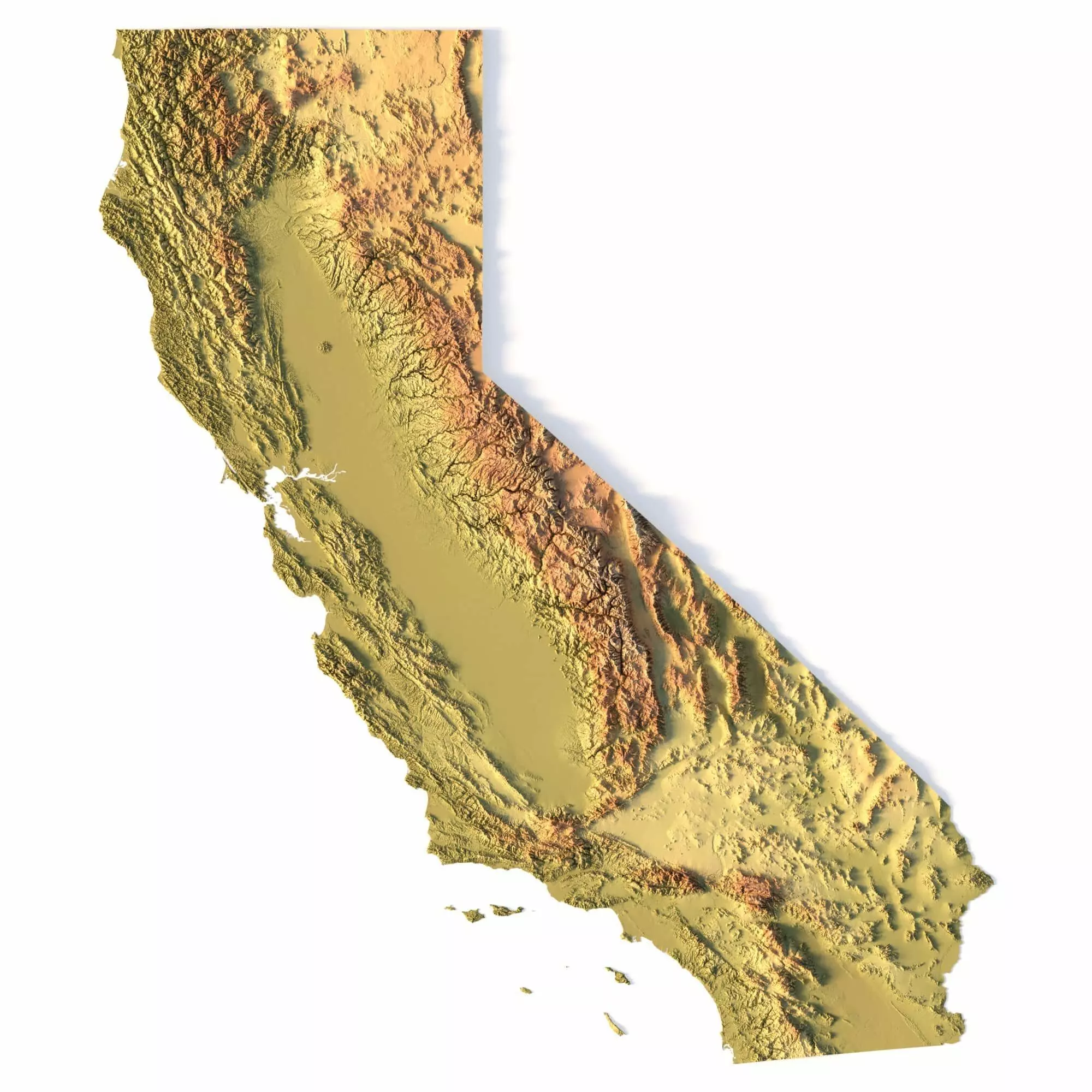
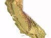
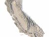
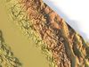
Create Detailed California Terrain Models with This 3D STL File
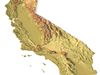
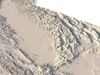
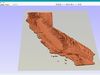
The Topographic California Map STL model provides a high-precision 3D terrain representation of the state. Whether you’re crafting topographic maps for landform visualization or working on professional geographic representation projects, this model captures the intricate elevation map details of California’s mountain ranges, valleys, and coastal features. Ideal for both hobbyists and professionals using 3D printers, CNC machines, and laser engravers.
- Files size: 1GB / 493 MB
- Model size: 114.35 mm x 132.2 mm x 1.341 mm
- Polygons: 14 394 280
- Vertices: 7 210 433
- Geometry: Polygonal Tris only
- Projection: Mercator
- Scaling factor: X - 0,0000001; Y - 0,0000001; Z - 0,0000003
- Base: Open/Closed
Key Features of the Topographic California Map STL Model
Compatible with FDM/SLA 3D printing for creating physical models of the terrain.Designed for CNC machining on wood and metal materials.Supports high-precision laser engraving for fine surface detailing on metals.