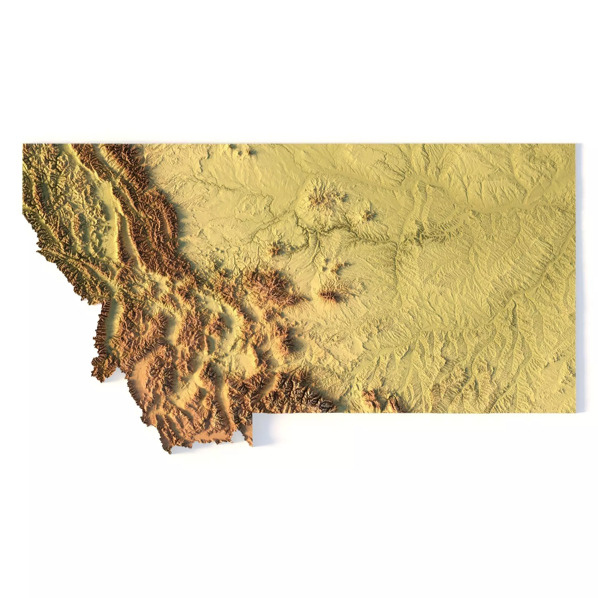
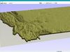
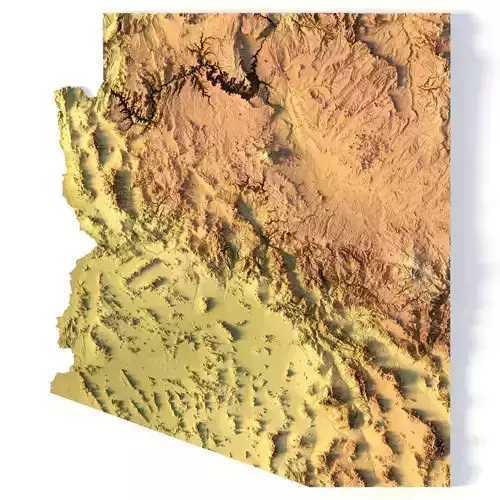
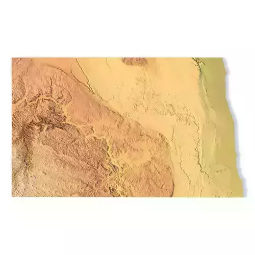
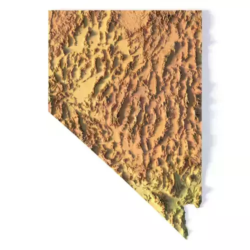
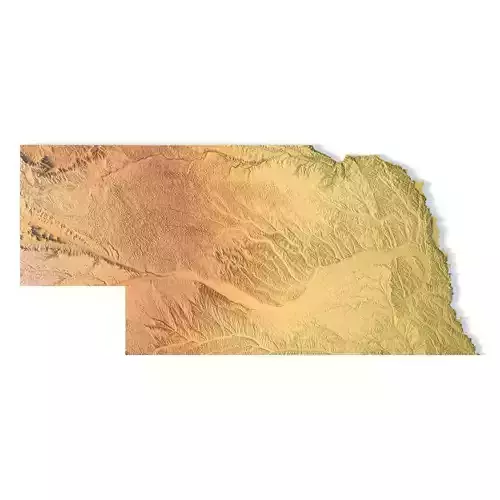
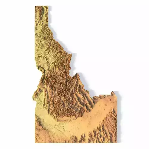
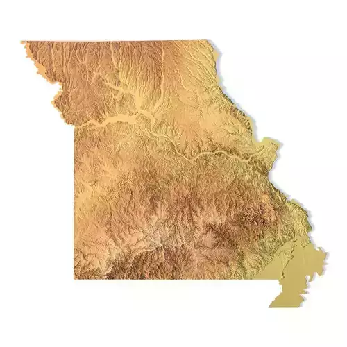
Create Detailed Montana Terrain Models with This High-Resolution 3D STL
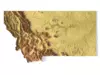
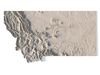
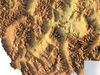
The Montana Topographic Map STL model provides a high-resolution representation of the state’s rugged topography and diverse geographic features. This 3D model is ideal for crafting physical relief maps from materials such as wood, metal, plastic, or concrete. Whether for landform visualization, educational projects, or professional GIS applications, this model delivers precise elevation data for accurate terrain modeling. Ideal for use with 3D printers, CNC machines, and laser engravers.
- File size: 1.21 GB / 623 MB
- Model size: 534.6 mm x 300.5 mm x 4.758 mm
- Resolution: 0.1 mm
- Projection: Mercator
- Datum: Google maps (sphere radius 6378137)
- EPSG code: 3857
- Scaling factor: X – 0.0000004; Y – 0.0000004; Z – 0.0000012
- Number of polygons: 26 181 818
- Number of vertices: 13 100 753
- Polygonal mesh: Triangles only
- Base: Open / Closed
Features of the Montana Topographic STL Model
Detailed elevation data showcasing Montana’s mountains, valleys, and plains.Compatible with FDM/SLA 3D printers for creating high-quality terrain models.Designed for CNC machining to craft relief maps from wood or metal.Supports high-precision laser engraving for metal surface detailing.