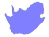
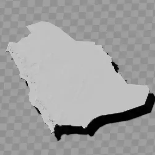
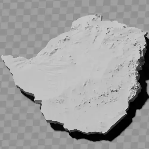
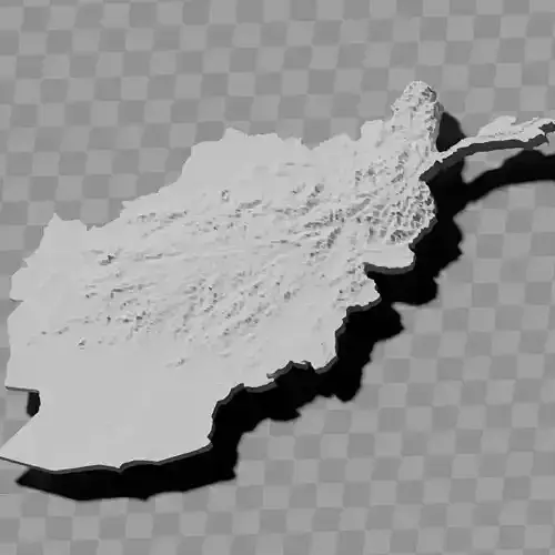
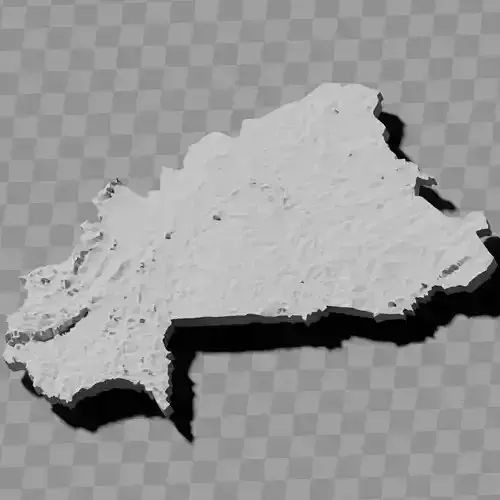
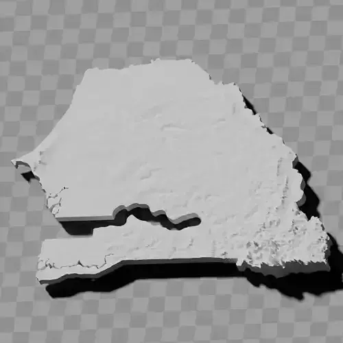
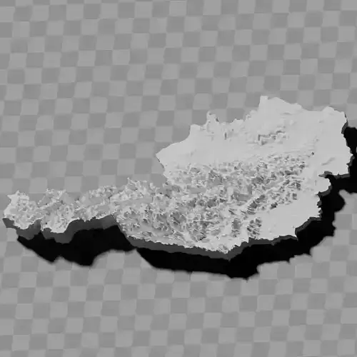
South Africa topographic raised relief maps collection / geography kit
Includes several models:
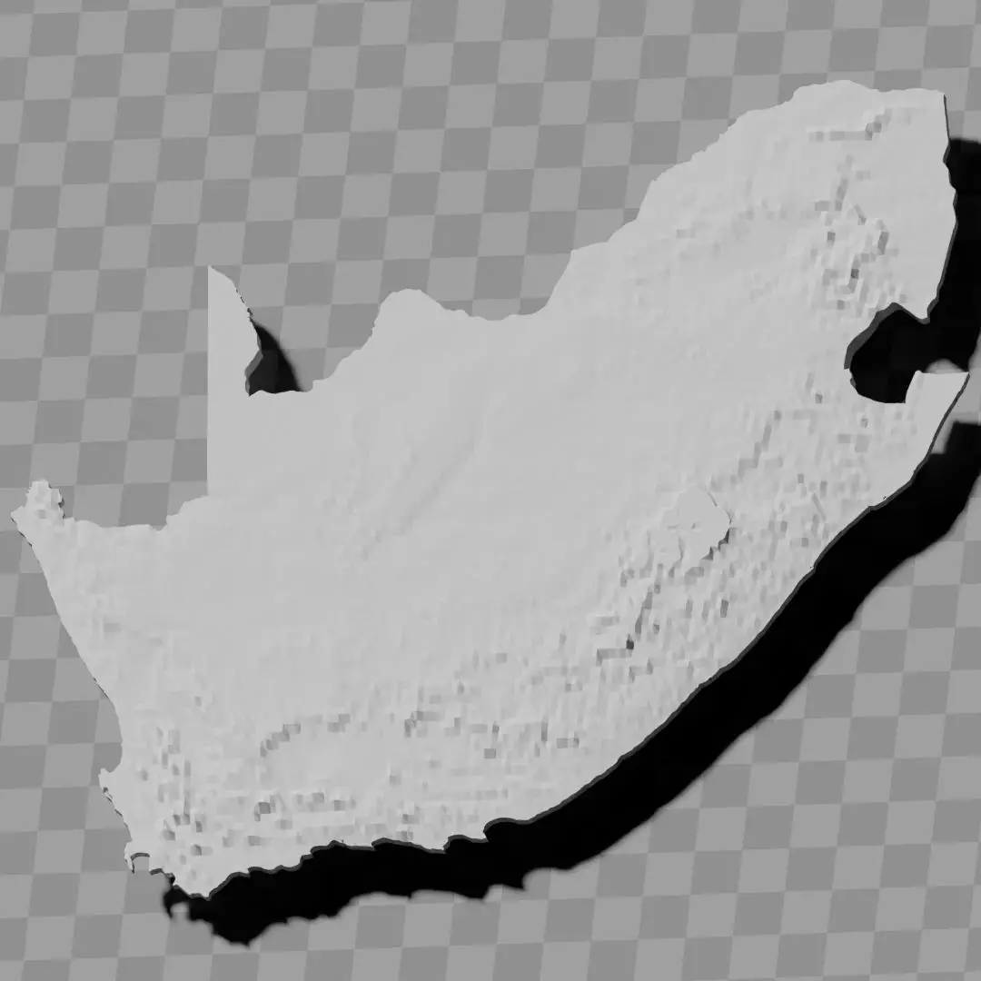
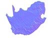
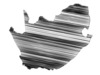
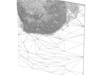
a cutout with exaggerated terrain / topography [Mercator-projection-distorted version + undistorted version]
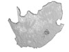
simplified version(s) with reduced polygon counts via quadratic decimation
non-cutout versions of the tolopgy [Mercator-projection-distorted version + undistorted version]
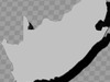
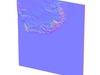
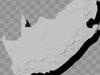
a simple 'prism' [flat-surfaced cutout of the country's boundaries with no topology features added]
'expanded' version which is a convex hull of the prism. You can use this as a 'base' to stabilize the model to avoid problems with small details breaking off if you try to 3d print it.
includes STL and OBJ formats. non-textured.
~~~~~~~~~~~~~~~~~~~~~~~~~~~~~~~~~~~~~~~~~~
Suid-Afrika topografiese verhewe reliëfkaarte-versameling / geografiese stel
Sluit verskeie modelle in:
'n uitsnit met oordrewe terrein / topografie [Mercator-projeksie-verwronge weergawe + onverwronge weergawe]
vereenvoudigde weergawe(s) met verminderde poligoontelling deur kwadratiese desimering
nie-uitsnit weergawes van die topografie [Mercator-projeksie-verwronge weergawe + onverwronge weergawe]
'n eenvoudige 'prisma' [plat-oppervlak uitsnit van die land se grense sonder topografiese kenmerke]
'uitgebreide' weergawe wat 'n konvekse omhulsel van die prisma is. U kan dit as 'n 'basis' gebruik om die model te stabiliseer om probleme te voorkom waar klein besonderhede afbreek as u dit probeer 3D-druk.
sluit STL- en OBJ-formate in. sonder tekstuur.