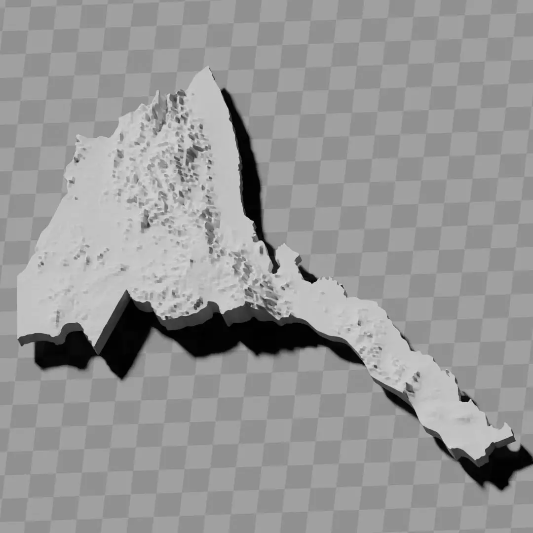
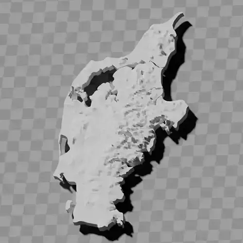
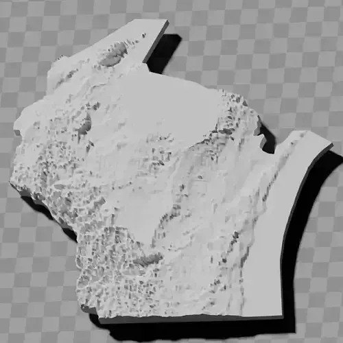
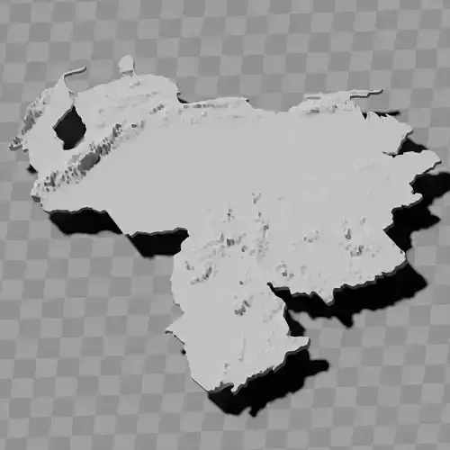
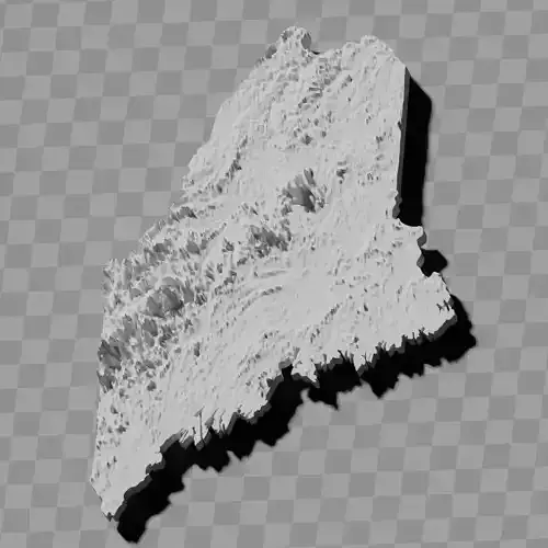
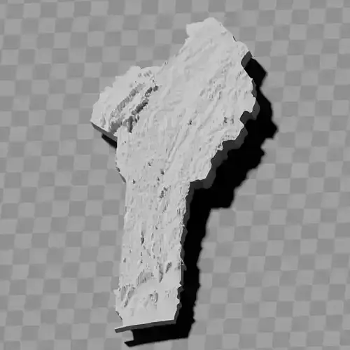
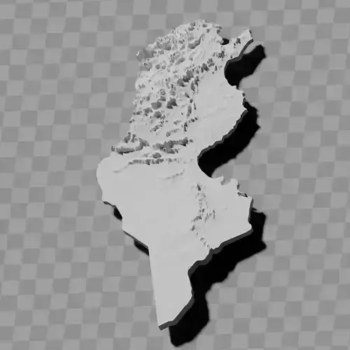
Eritrea topography raised relief maps collection / geography kit
Includes several models:
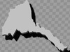
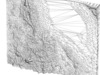
a cutout with exaggerated terrain / topography [Mercator-projection-distorted version + undistorted version]
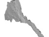
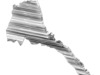
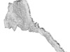
simplified version(s) with reduced polygon counts via quadratic decimation
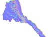
non-cutout versions of the tolopgy [Mercator-projection-distorted version + undistorted version]
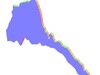
a simple 'prism' [flat-surfaced cutout of the country's boundaries with no topology features added]
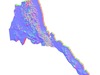
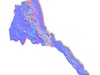
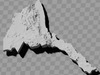
'expanded' version which is a convex hull of the prism. You can use this as a 'base' to stabilize the model to avoid problems with small details breaking off if you try to 3d print it.
includes STL and OBJ formats. non-textured.
~~~~~~~~~~~~~~~~~~~~~~~~~~~~~~~~~~~~~~~~~~
ኤርትራ ምሕንፃፅ ዝተኣልዐ መልዐሊ ካርታታት ጥርናፈ / ናይ ጂኦግራፊ ኪት
ብዙሓት ሞደላት የጠቓልል፡
ዝተጋነነ መሬት / ቶፖግራፊ ዘለዎ ቖራጽ [ብመርካቶር-ፕሮጀክሽን-ዝተዛበዐ ግዝፊ + ዘይተዛበዐ ግዝፊ]
ብርባዓዊ ምጕዳል ዝተሓጽረ ፖሊጎን ቊጽሪ ዘለዎ ቀሊል ግዝፊ(ታት)
ዘይተቖርጸ ግዝፊታት ናይቲ ቶፖግራፊ [ብመርካቶር-ፕሮጀክሽን-ዝተዛበዐ ግዝፊ + ዘይተዛበዐ ግዝፊ]
ቀሊል 'ፕሪዝም' [ዝኾነ ቶፖግራፊ ባህርያት ዘይተወስኸሉ ጸፊሕ ገጽ ዘለዎ ናይ ሃገር ዶብ ቖራጽ]
'ዝተስፋሕፍሐ' ግዝፊ እዩ ኸኣ ናይቲ ፕሪዝም ኮንቬክስ ሃል እዩ። ነዚ ከም 'መሰረት' ክትጥቀመሉ ትኽእል ኢኻ ነቲ ሞዴል ንምርግጋእ ብ3ዲ ኽተሕትሞ ኽትፍትን ከለኻ ኣናእሽቱ ዝርዝራት ምብትታን ዘለዎም ጸገማት ንምውጋድ።
STL ከምኡውን OBJ ፎርማታት የጠቓልል። ዘይተሰኽለ።