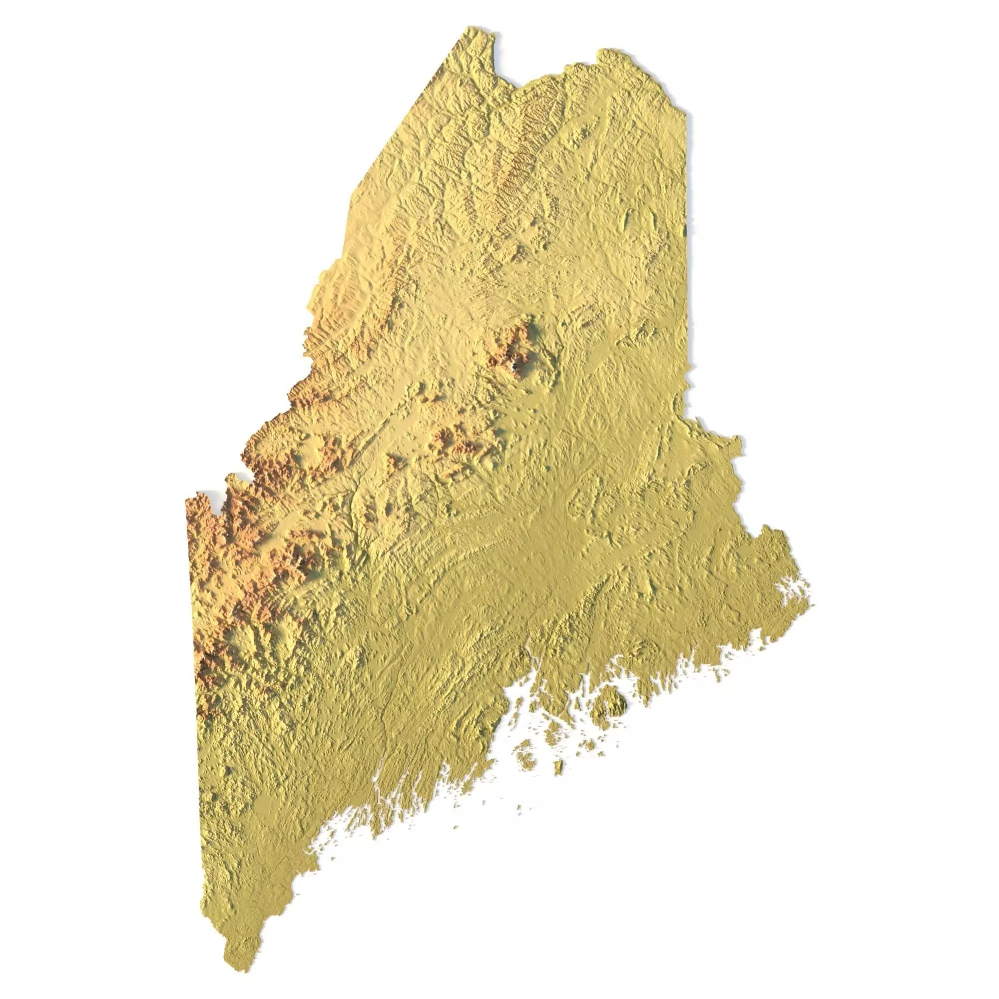
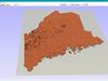
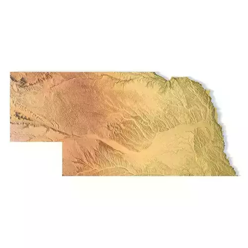
Create Detailed Maine Terrain Models with This High-Resolution 3D STL
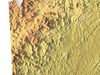
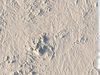
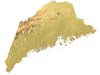
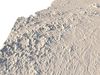
The Maine Topographic Map STL model offers a high-resolution depiction of the state’s diverse topography and geographic features. This 3D model is perfect for creating physical relief maps from materials like wood, metal, plastic, or concrete. Whether used for landform visualization, educational purposes, or professional GIS applications, this model provides accurate elevation data for detailed terrain modeling. It’s suitable for 3D printing, CNC machining, and laser engraving.
- File size: 723 MB / 518 MB
- Model size: 184.02 mm x 277.14 mm x 2.035 mm
- Resolution: 0,06 mm
- Projection: Mercator
- Scaling factor: X — 1; Y — 1; Z — 3
- Polygons: 15 179 102
- Vertices: 7 620 961
- Geometry: Polygonal Tris only
- Base: Open / Closed
Features of the Maine Topographic STL Model
Precise elevation data capturing Maine’s rugged mountains, forests, and coastal landforms.Compatible with FDM/SLA 3D printers for creating detailed terrain models.Designed for CNC machining to create relief maps from wood or metal.Supports high-precision laser engraving for metal surface detailing.
Shustrik-Maps.com – Premium 3D Models for Terrain, Maps & BeyondHigh-Quality STL Files for 3D Printing & CNC