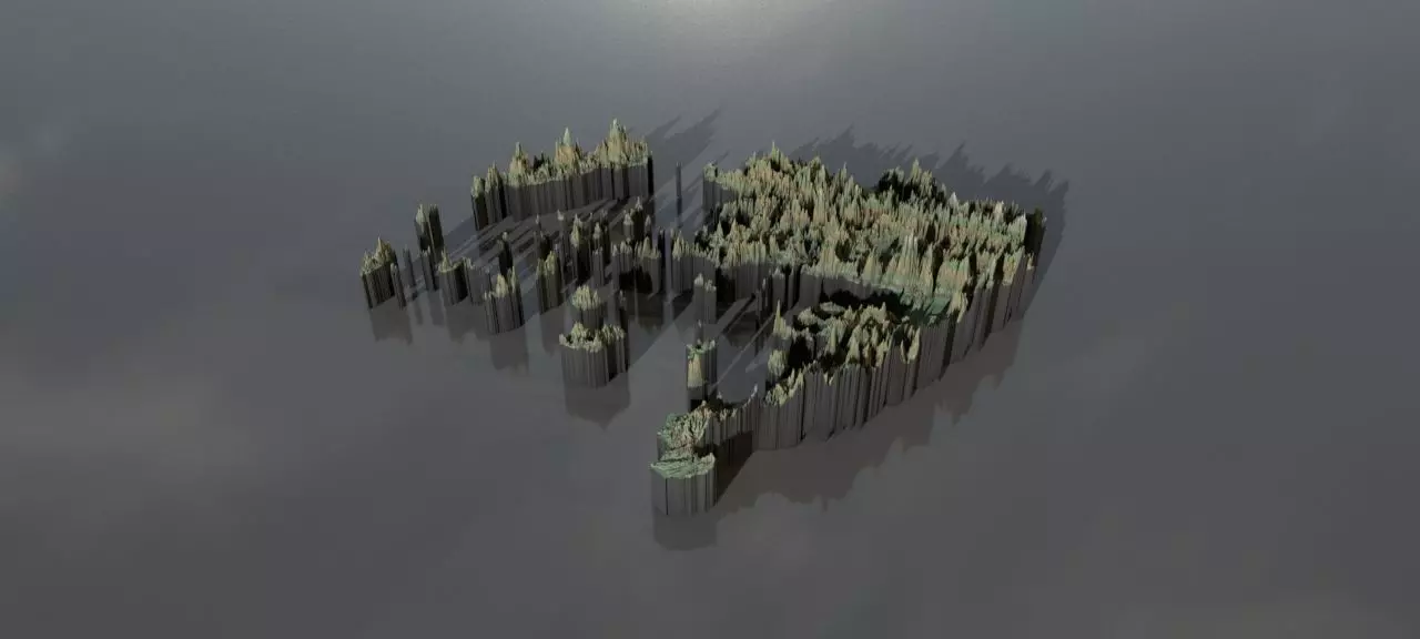
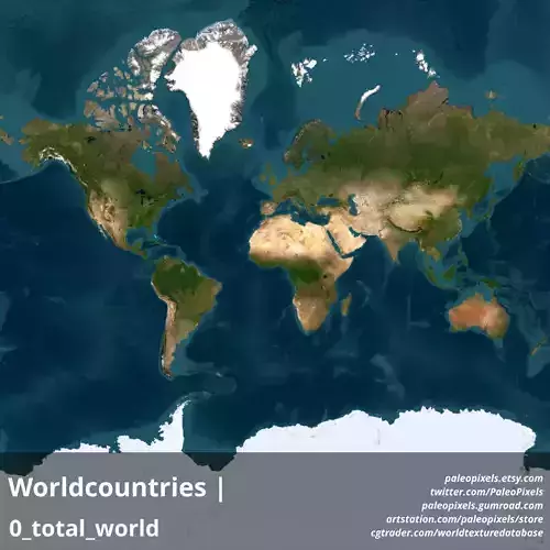
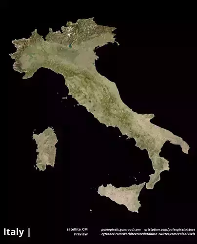
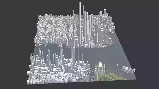
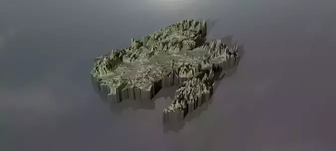
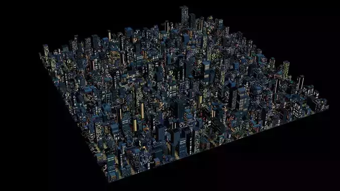
Collection of highresolution heightmaps and geometry for Greece.(The preview images have boosted heights to make it easier to see and are not the actual height values)
The greyscale values between 0-1 are heightvalues between -100 and 10000 metres.For a proper result the greyscale values should be remapped accordingly.
In the files, LatLon means aligned to the following latitude/longitude coordinates :minimum Latitude :34.0maximum Latitude :42.0minimum Longitude :19.0maximum Longitude :30.0
Cartesian means the latitude/longitude coordinates got mapped onto a earth-sized sphere,then aligned the poles to a grid and brought to the origin. This method should have the least distortion.The other heightmap with longitude/latitude coordinates are on the Mercator projection.
greece_cartesian_heightmap.jpg - resolution :7719x7901
greece_cartesian_heightmap_heightmap.exr - resolution :7719x7901
greece_heightmap_latlon_34.0_42.0_34.0_42.0.exr - resolution :11264x8192
greece_heightmap_latlon_34.0_42.0_34.0_42.0.jpg - resolution :11264x8192
preview0.jpg - resolution :1280x576
preview1.jpg - resolution :1280x576
preview2.jpg - resolution :1280x576
preview3.jpg - resolution :772x790
preview4.jpg - resolution :1126x819
tags:heightmap earth longitude latitude world geomapping elevation elevationmap