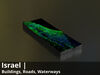
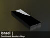
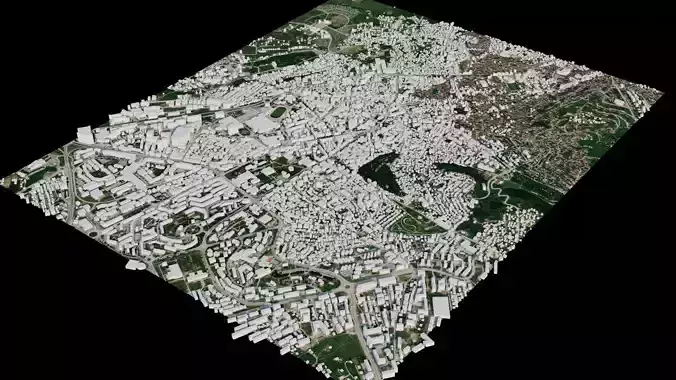
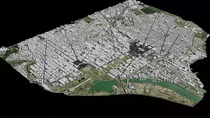
Israel Water Roads and Buildings 8k High resolution Maps
The following files exist in this package :*
israel_osm__base.exr - resolution : 3128x8590
israel_osm__base_country3d_all_preview3D_cam1_preview.jpg - resolution : 1536x1152
israel_osm__base_basecolor.exr - resolution : 3128x8588
israel_osm__base_basecolor.jpg - resolution : 3128x8588
israel_osm__base_basecolor_country3d_all_preview3D_cam1_preview.jpg - resolution : 1536x1152
israel_osm__base_preview.jpg - resolution : 373x1024
israel_osm_base_preview_2.jpg - resolution : 373x1024
israel_water___basecolor.exr - resolution : 3128x8590
israel_waterBodies__basecolor.jpg - resolution : 3128x8588
israel_waterBodies__basecolor_country3d_all_preview3D_cam1_preview.jpg - resolution : 1536x1152
israel_waterBodies__preview.jpg - resolution : 373x1024
israel_waterBodies_preview_2.jpg - resolution : 373x1024
israel_waterBodies___basecolor.exr - resolution : 3128x8590
israel_waterBodies__basecolor.exr - resolution : 3128x8588
israel_Roads_basecolor.exr - resolution : 3128x8588
israel_Roads_basecolor.jpg - resolution : 3128x8588
israel_Roads_basecolor_country3d_all_preview3D_cam1_preview.jpg - resolution : 1536x1152
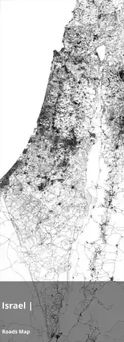
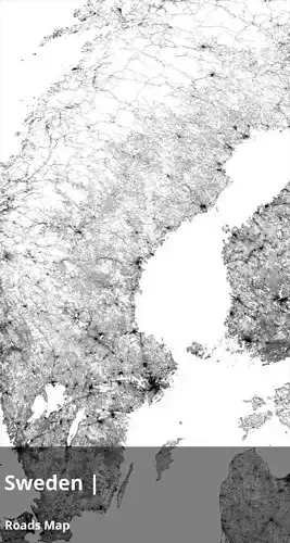
israel_Roads_preview.jpg - resolution : 373x1024
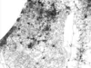
israel_Roads_preview_2_.jpg - resolution : 373x1024
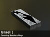
israel_countryBorder__basecolor.exr - resolution : 3128x8588
israel_countryBorder__basecolor.jpg - resolution : 3128x8588
israel_countryBorder__basecolor_country3d_all_preview3D_cam1_preview.jpg - resolution : 1536x1152
israel_countryBorder__preview.jpg - resolution : 373x1024
israel_countryBorder_preview_2.jpg - resolution : 373x1024
israel_countryBorder_with_neighbours__basecolor.exr - resolution : 3128x8588
israel_countryBorder_with_neighbours__basecolor.jpg - resolution : 3128x8588
israel_countryBorder_with_neighbours__basecolor_country3d_all_preview3D_cam1_preview.jpg - resolution : 1536x1152
israel_countryBorder_with_neighbours__preview.jpg - resolution : 373x1024
israel_countryBorder_with_neighbours_preview_2.jpg - resolution : 373x1024
These textures align to following latitude/longitude coordinates :minimum Latitude : 29.0maximum Latitude : 34.0minimum Longitude : 34.0maximum Longitude : 36.0
Tags :cartography geography world terrain landscapes MakingMapsPretty map globemaker topography openstreetmap osm water water2 waterBodies Roads countryBorder countryBorderwithneighbours