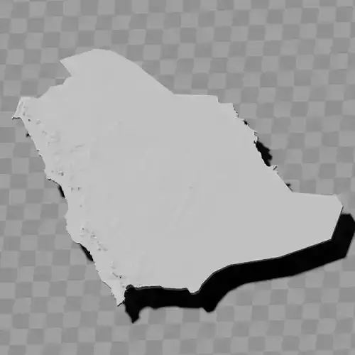
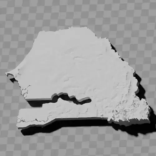
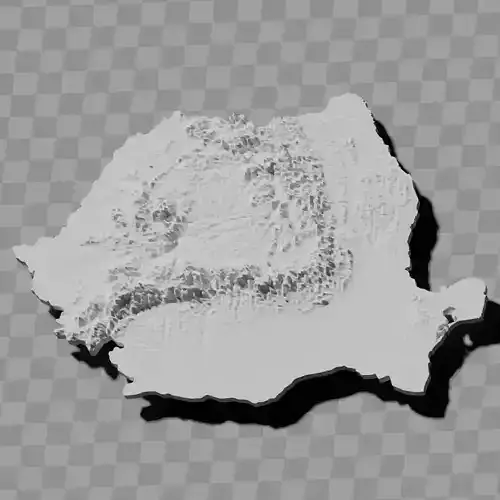
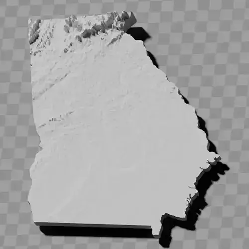
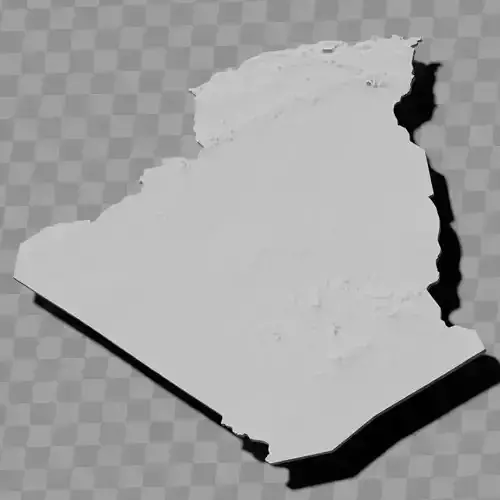
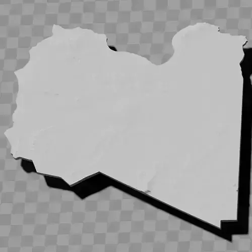
Botswana topography relief maps collection / geography kit
This one is free because of some topoligical funkiness in at least one of the files, enjoy
Includes several models:
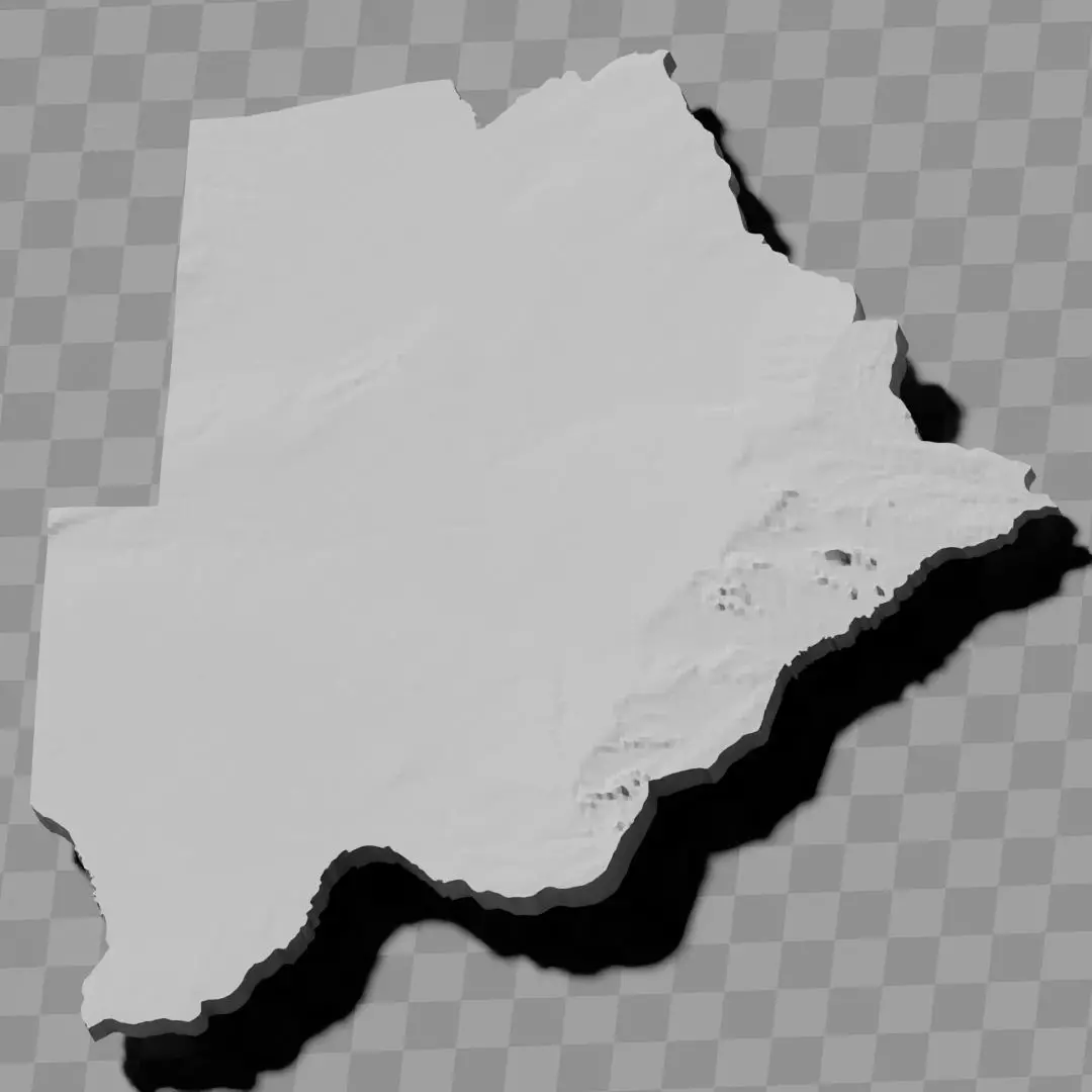
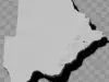
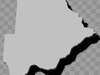
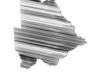
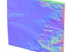
a cutout with exaggerated terrain / topography [Mercator-projection-distorted version + undistorted version]
simplified version(s) with reduced polygon counts via quadratic decimation
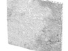
non-cutout versions of the tolopgy [Mercator-projection-distorted version + undistorted version]
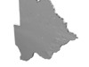
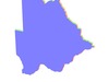
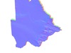
a simple 'prism' [flat-surfaced cutout of the country's boundaries with no topography features added]
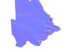
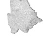
'expanded' version which is a convex hull of the prism. You can use this as a 'base' to stabilize the model to avoid problems with small details breaking off if you try to 3d print it.
includes STL and OBJ formats. non-textured.
~~~~~~~~~~~~~~~~~~~~~~~~~~~~~~~~~~~~~~~~~~
Kgobokanyo ya ditšhate tsa topography ya Botswana / sete ya jeografi
E e ke mahala ka ntlha ya mathata a mangwe a topoloji mo bonnye bongwe jwa difaele, itumelele
E akaretsa dimodele di le mmalwa:
Sekapetla se se nang le lefatshe le le oketsegileng / topography [Phetolelo e e sokameng ya Mercator + phetolelo e e sa sokamang]
Diphetolelo tse di bonolo ka dipalo tse di fokoditsweng tsa dipholygone ka go fokotsa ga quadratic
Diphetolelo tse di senang sekapetla tsa topography [Phetolelo e e sokameng ya Mercator + phetolelo e e sa sokamang]
'Prism' e e bonolo [sekapetla se se bophepa sa melelwane ya naga se se senang diponagalo tsa topography]
Phetolelo e e 'atolositsweng' e e leng convex hull ya prism. O ka e dirisa jaaka 'motheo' go tsetsepetsa modele go thibela mathata a go thubega ga dintlha tse dinnye fa o leka go e gatisa ka 3D
E akaretsa difomete tsa STL le OBJ. Ga e na texture.