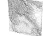
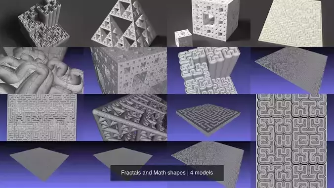
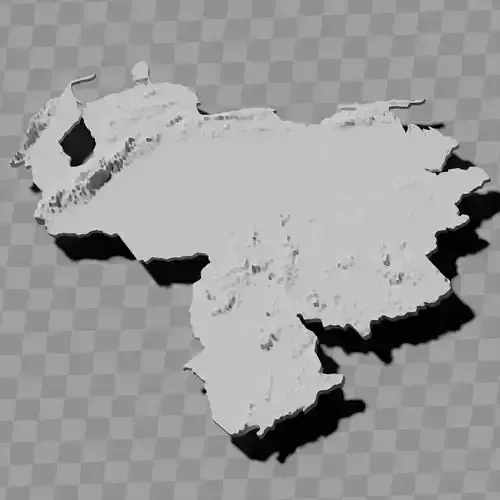
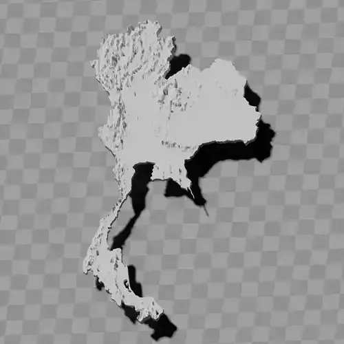
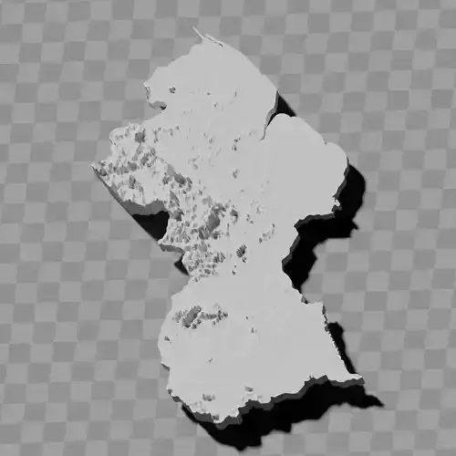
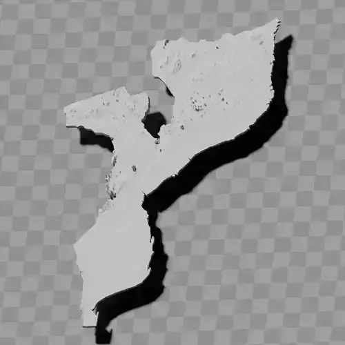
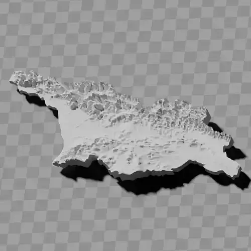
Laos topographic relief map collection / geography kit
Includes several models:
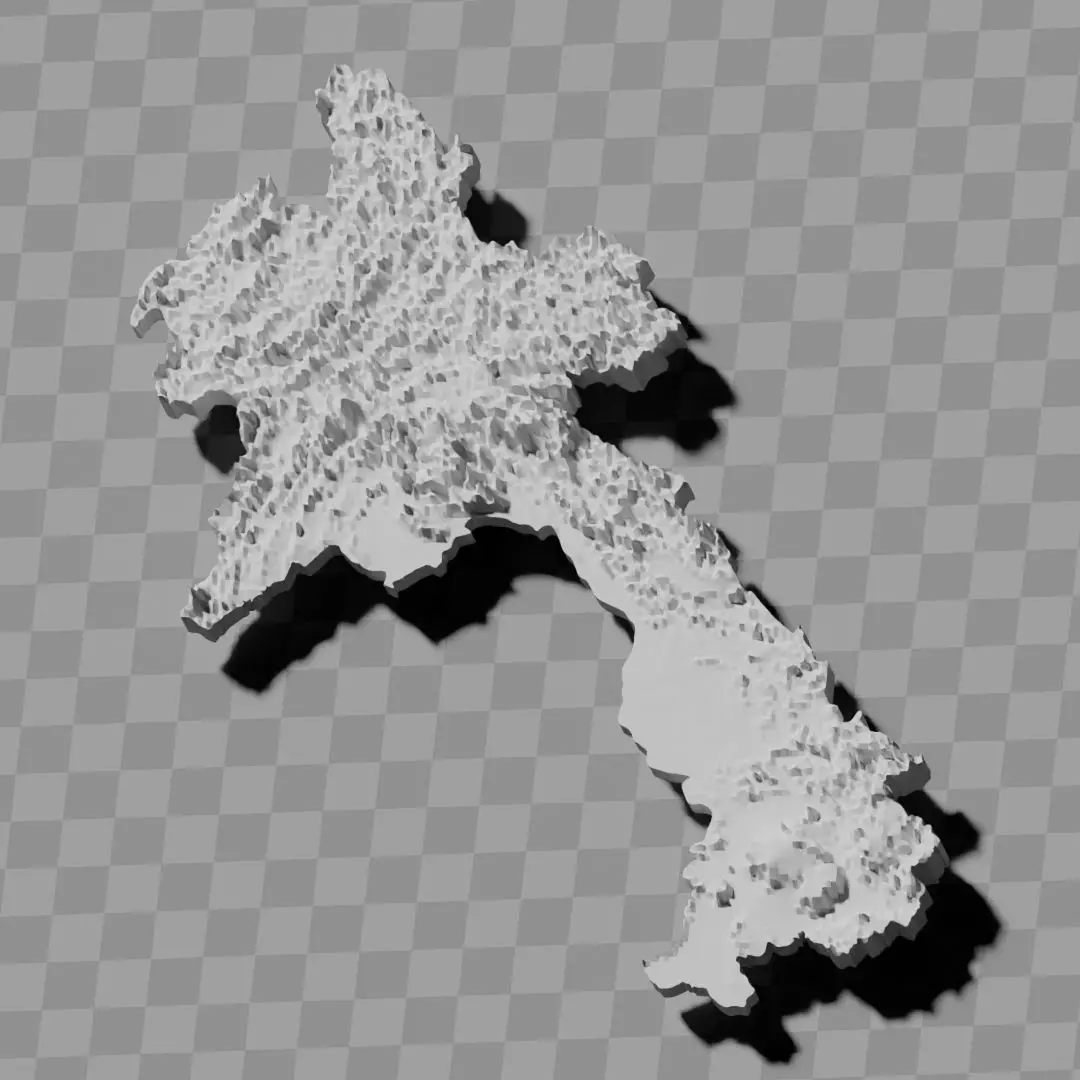
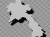
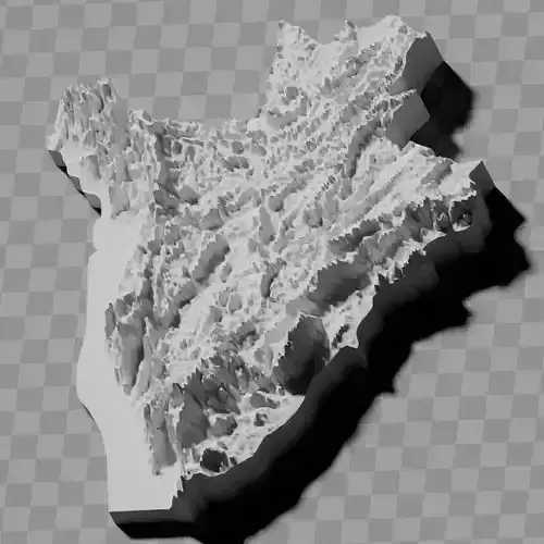
a cutout with exaggerated terrain / topography [Mercator-projection-distorted version + undistorted version]
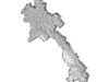
simplified version(s) with reduced polygon counts via quadratic decimation
non-cutout versions of the tolopgy [Mercator-projection-distorted version + undistorted version]
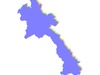
a simple 'prism' [flat-surfaced cutout of the country's boundaries with no topology features added]
'expanded' version which is a convex hull of the prism. You can use this as a 'base' to stabilize the model to avoid problems with small details breaking off if you try to 3d print it.
includes STL and OBJ formats. non-textured.
~~~~~~~~~~~~~~~~~~~~~~~~~~~~~~~~~~~~~~~~~~
ຊຸດແຜນທີ່ພູມສັນຖານ / ພູມສາດຂອງລາວ
ປະກອບມີຫຼາຍຮູບແບບ:
ຮູບຕັດທີ່ມີພູມປະເທດ / ພູມສັນຖານທີ່ເກີນຈິງ [ສະບັບບິດເບືອນແບບເມີຄາເຕີ + ສະບັບບໍ່ບິດເບືອນ]
ສະບັບຫຍໍ້ທີ່ມີຈຳນວນຫຼາຍຫຼ່ຽມໜ້ອຍລົງຜ່ານການຫຍໍ້ແບບສີ່ຫຼ່ຽມ
ສະບັບທີ່ບໍ່ຕັດອອກຂອງພູມສັນຖານ [ສະບັບບິດເບືອນແບບເມີຄາເຕີ + ສະບັບບໍ່ບິດເບືອນ]
'ປຣິຊຶມ' ແບບງ່າຍ [ຮູບຕັດຂອບເຂດປະເທດທີ່ມີໜ້າພຽງໂດຍບໍ່ມີລັກສະນະພູມສັນຖານ]
ສະບັບ 'ຂະຫຍາຍ' ເຊິ່ງເປັນເປືອກນູນຂອງປຣິຊຶມ. ທ່ານສາມາດໃຊ້ສິ່ງນີ້ເປັນ 'ພື້ນຖານ' ເພື່ອເຮັດໃຫ້ຮູບແບບມີຄວາມໝັ້ນຄົງ ເພື່ອຫຼີກລ່ຽງບັນຫາລາຍລະອຽດນ້ອຍໆແຕກຫັກຖ້າທ່ານພະຍາຍາມພິມ 3D
ລວມມີຮູບແບບ STL ແລະ OBJ. ບໍ່ມີພື້ນຜິວ.