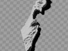
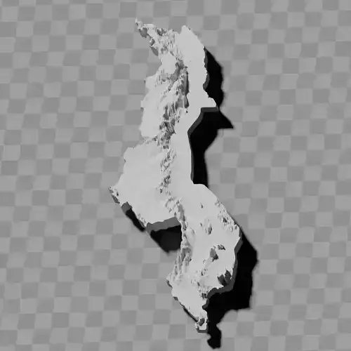
Israel topography relief map collection / geography kit
Includes several models:
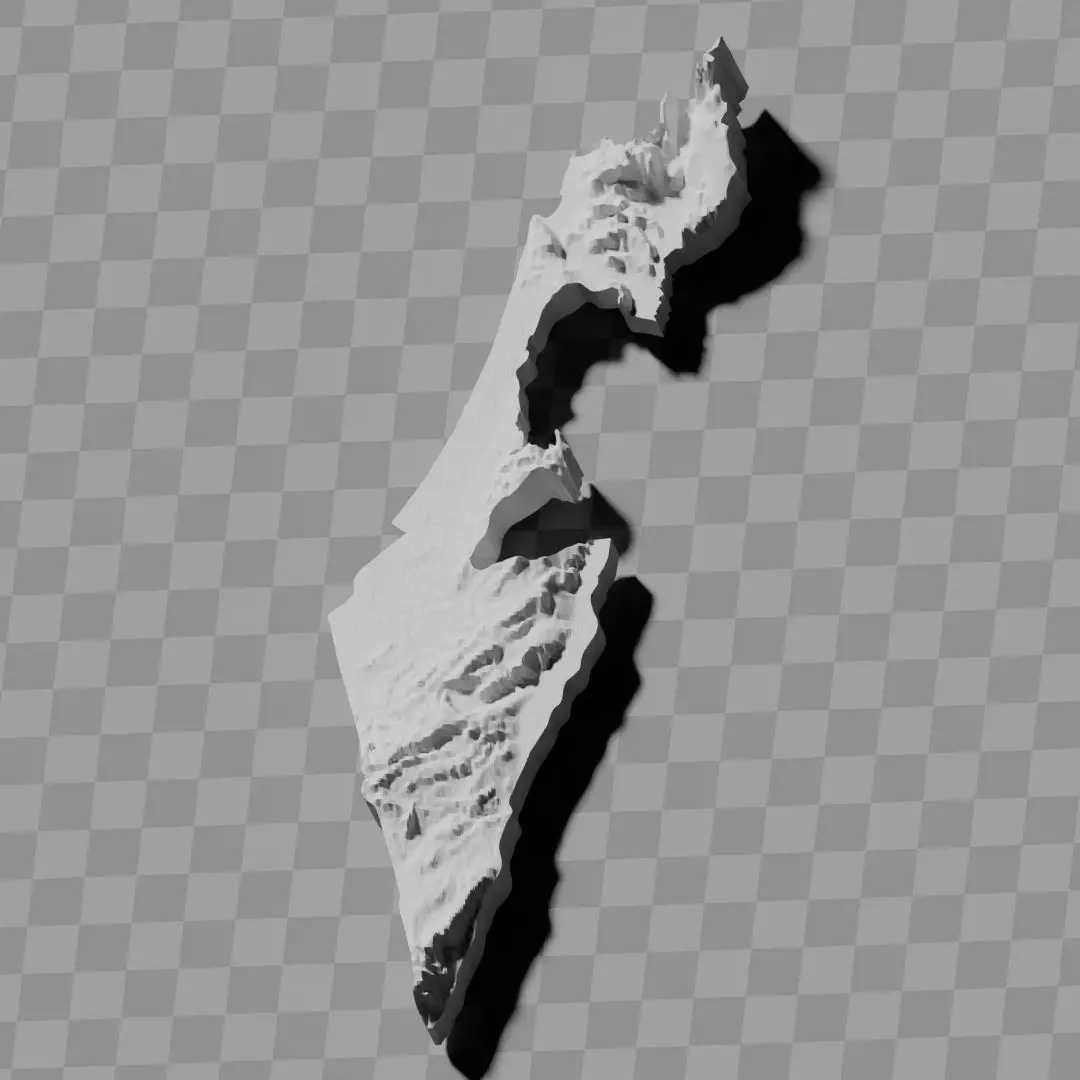
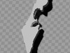
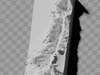
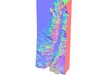
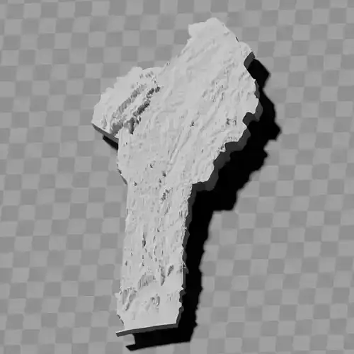
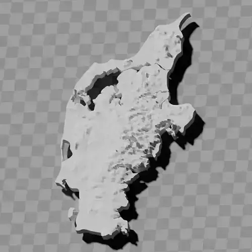
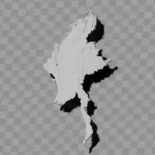
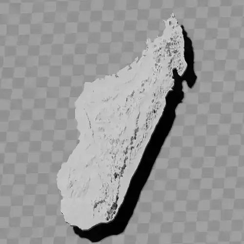
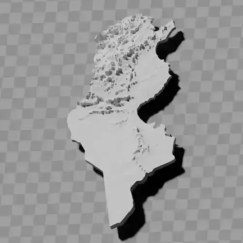
a cutout with exaggerated terrain / topography [Mercator-projection-distorted version + undistorted version]
simplified version(s) with reduced polygon counts via quadratic decimation
non-cutout versions of the tolopgy [Mercator-projection-distorted version + undistorted version]
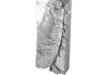
a simple 'prism' [flat-surfaced cutout of the country's boundaries with no topology features added]
'expanded' version which is a convex hull of the prism. You can use this as a 'base' to stabilize the model to avoid problems with small details breaking off if you try to 3d print it.
includes STL and OBJ formats. non-textured.
~~~~~~~~~~~~~~~~~~~~~~~~~~~~~~~~~~~~~~~~~~
אוסף מפות תבליט טופוגרפיות של ישראל / ערכת גיאוגרפיה
כולל מספר דגמים:
גזירה עם תבליט / טופוגרפיה מוגזמת [גרסה מעוותת בהיטל מרקטור + גרסה לא מעוותת]
גרסה(ות) מפושטת עם מספר פוליגונים מופחת באמצעות דצימציה ריבועית
גרסאות ללא גזירה של הטופוגרפיה [גרסה מעוותת בהיטל מרקטור + גרסה לא מעוותת]
'פריזמה' פשוטה [גזירה שטוחה של גבולות המדינה ללא תוספת מאפיינים טופוגרפיים]
גרסה 'מורחבת' שהיא המעטפת הקמורה של הפריזמה. ניתן להשתמש בזה כ'בסיס' לייצוב המודל כדי למנוע בעיות של שבירת פרטים קטנים אם מנסים להדפיס אותו בתלת-ממד.
כולל פורמטים STL ו-OBJ. ללא מרקם.