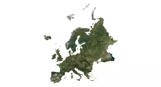
Europe is a continent located entirely in the Northern Hemisphere and mostly in the Eastern Hemisphere. Though the term continent implies physical geography, the land border is somewhat arbitrary and has moved since its first conception in classical antiquity. The division of Eurasia into two continents reflects East-West cultural, linguistic, and ethnic differences, some of which vary on a spectrum rather than with a sharp dividing line. The border does not follow political boundaries, with Turkey and Russia being transcontinental countries.
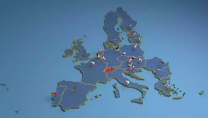
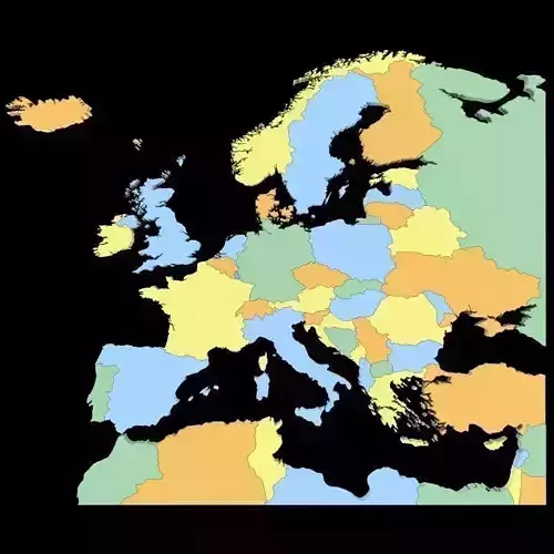
Europe covers about 10,180,000 square kilometres (3,930,000 sq mi), or 2% of the Earth's surface (6.8% of land area). Politically, Europe is divided into about fifty sovereign states of which the Russian Federation is the largest and most populous, spanning 39% of the continent and comprising 15% of its population.
Europe, in particular Italy and ancient Greece, was the birthplace of Western civilization. The fall of the Western Roman Empire during the Migration Period marked the end of ancient history and the beginning of an era known as the Middle Ages. The Age of Enlightenment, the subsequent French revolution and the Napoleonic wars shaped the continent culturally, politically, and economically from the end of the 17th century till the first half of the 19th century. The Industrial Revolution, which began in Great Britain at the end of the 18th century, gave rise to radical economic, cultural, and social change in Western Europe, and eventually the wider world. Both world wars took place for the most part in Europe, contributing to a decline in Western European dominance in world affairs by the mid-20th century as the Soviet Union and the United States took prominence. During the Cold War, Europe was divided along the Iron Curtain between NATO in the west and the Warsaw Pact in the east, until the revolutions of 1989 and fall of the Berlin Wall.
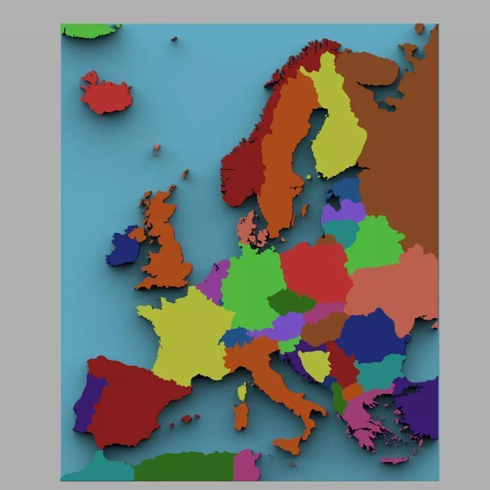
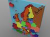
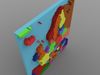
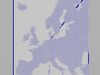
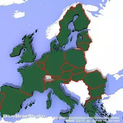
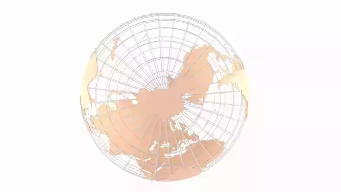
This is a digital model of the continent of Europe with color-separated countries. Northern Africa can be seen at the bottom of the model.
Great for educational uses or as a map on display in a scene.
Product Features:
- Approx 53873 polygons.
- Made with 3 and 4 point polygons.
- Includes different colors to separate the countries.
- Includes separate parts for each country.
- This version includes an mtl file, which your software program should read to colorize the model.
- The model has basic UV mapping and NO textures are included.