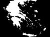
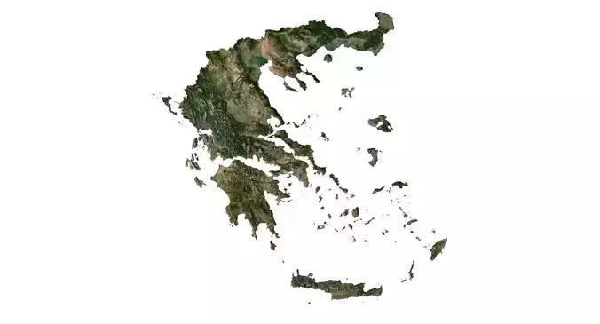
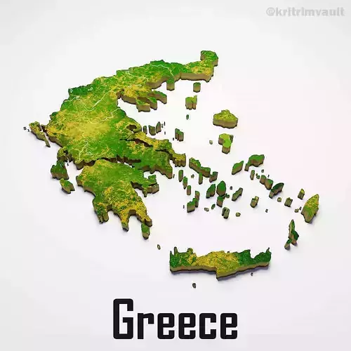
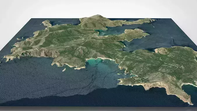
Greece Satellite High resolution Maps and masks
The following files exist in this package :*
greece_CM0000.exr - resolution : 18433x18101
greece_CM0000.jpg - resolution : 18433x18101
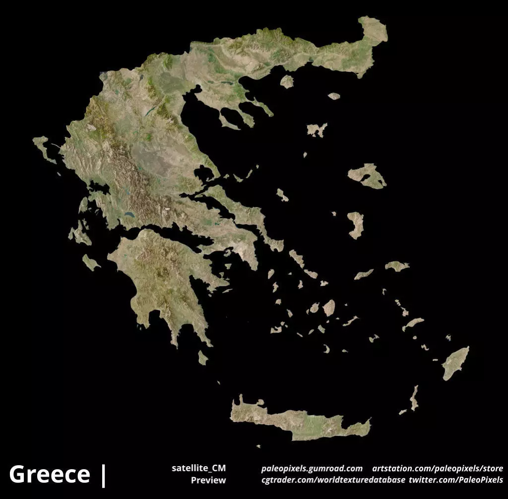
greece_CM_preview0000.jpg - resolution : 1024x1006
greece_countryPlusNeighboursMask0000.exr - resolution : 18433x18101
greece_countryPlusNeighboursMask0000.jpg - resolution : 18433x18101
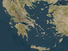
greece_countryPlusNeighboursMask_preview0000.jpg - resolution : 1024x1006
greece_satellite0000.exr - resolution : 18433x18101
greece_satellite0000.jpg - resolution : 18433x18101
greece_satellite_CM0000.exr - resolution : 18433x18101
greece_satellite_CM0000.jpg - resolution : 18433x18101
greece_satellite_CM_preview0000.jpg - resolution : 1024x1006
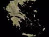
greece_satellite_preview0000.jpg - resolution : 1024x1006
These textures align to following latitude/longitude coordinates :
minimum Latitude :34.8150100708
maximum Latitude :41.7504768372
minimum Longitude :19.6264762878
maximum Longitude :28.2397575378
- _CM = CountryMask cutout with country borders.
Tags :
greece_Masks earth longitude latitude world geomapping greece greece_satellite cartography geography terrain landscapes MakingMapsPretty map globemaker topography openstreetmap