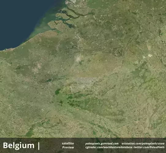
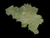
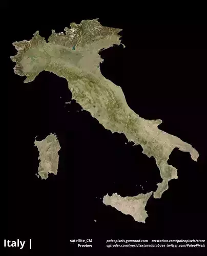
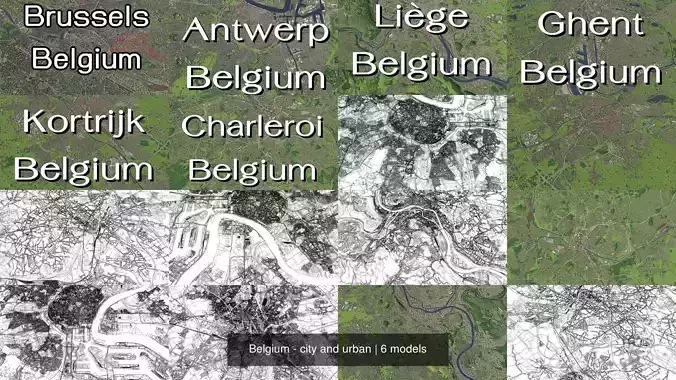
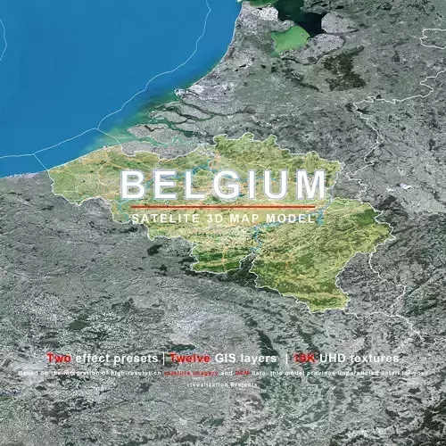
Belgium Satellite High resolution Maps and masks
The following files exist in this package :*
belgium_CM0000.exr - resolution : 7301x6736
belgium_CM0000.jpg - resolution : 7301x6736
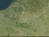
belgium_CM_preview0000.jpg - resolution : 1024x945
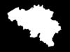
belgium_countryPlusNeighboursMask0000.exr - resolution : 7301x6736
belgium_countryPlusNeighboursMask0000.jpg - resolution : 7301x6736
belgium_countryPlusNeighboursMask_preview0000.jpg - resolution : 1024x945
belgium_satellite0000.exr - resolution : 7301x6736
belgium_satellite0000.jpg - resolution : 7301x6736
belgium_satellite_CM0000.exr - resolution : 7301x6736
belgium_satellite_CM0000.jpg - resolution : 7301x6736
belgium_satellite_CM_preview0000.jpg - resolution : 1024x945
belgium_satellite_preview0000.jpg - resolution : 1024x945
These textures align to following latitude/longitude coordinates :
minimum Latitude :49.495223999
maximum Latitude :51.4962387085
minimum Longitude :2.5218000412
maximum Longitude :6.37452507019
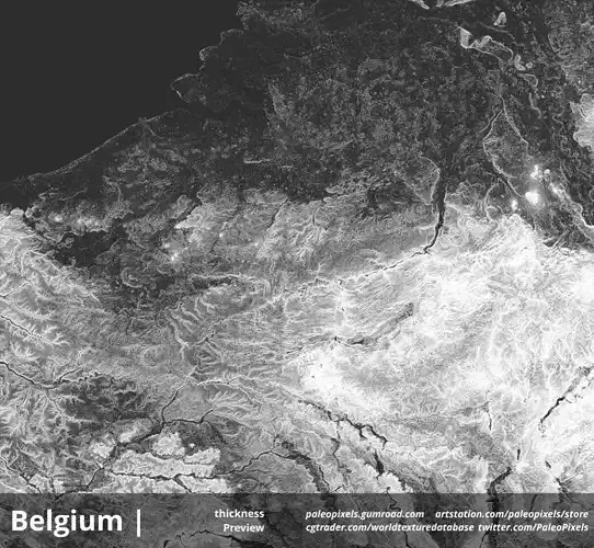
- _CM = CountryMask cutout with country borders.
Tags :
belgium_Masks earth longitude latitude world geomapping belgium belgium_satellite cartography geography terrain landscapes MakingMapsPretty map globemaker topography openstreetmap