
High resolution heightmaps and geometry for Afghanistan Texture
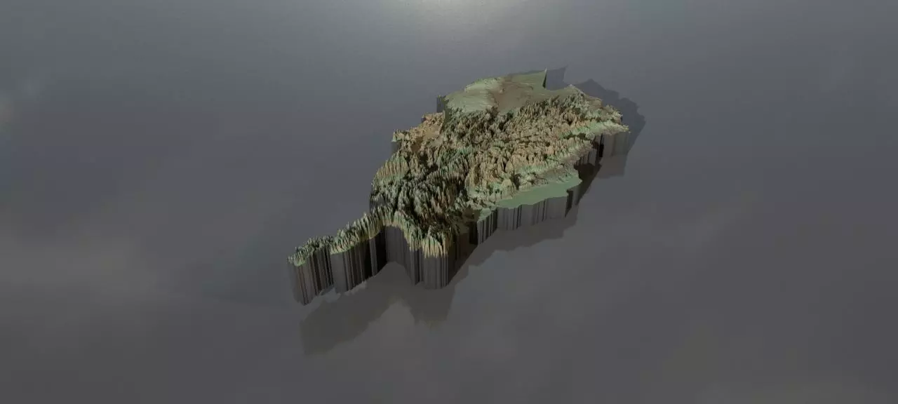
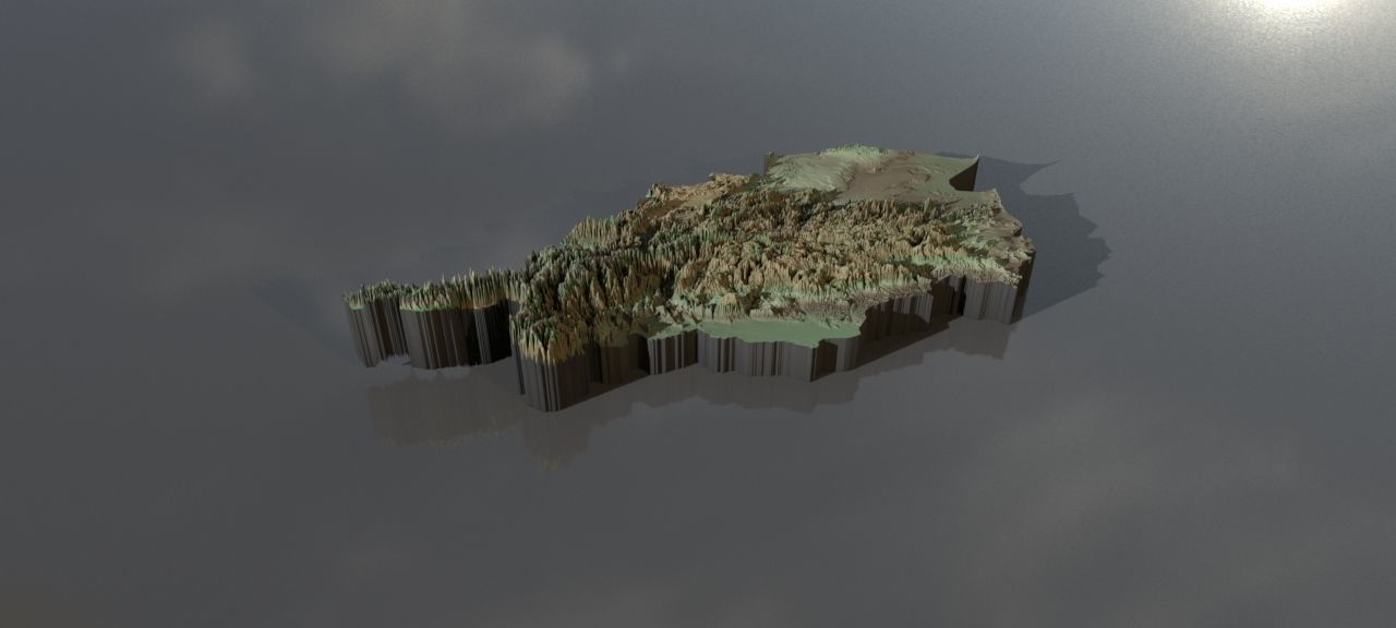
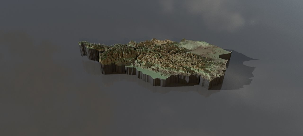
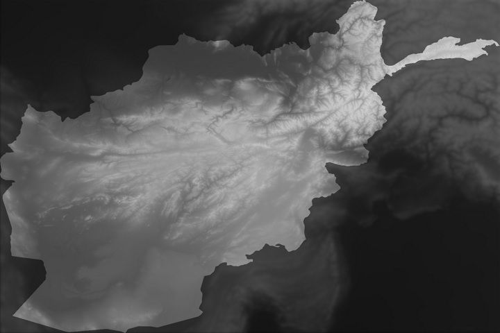
Collection of highresolution heightmaps and geometry for Afghanistan.(The preview images have boosted heights to make it easier to see and are not the actual height values)
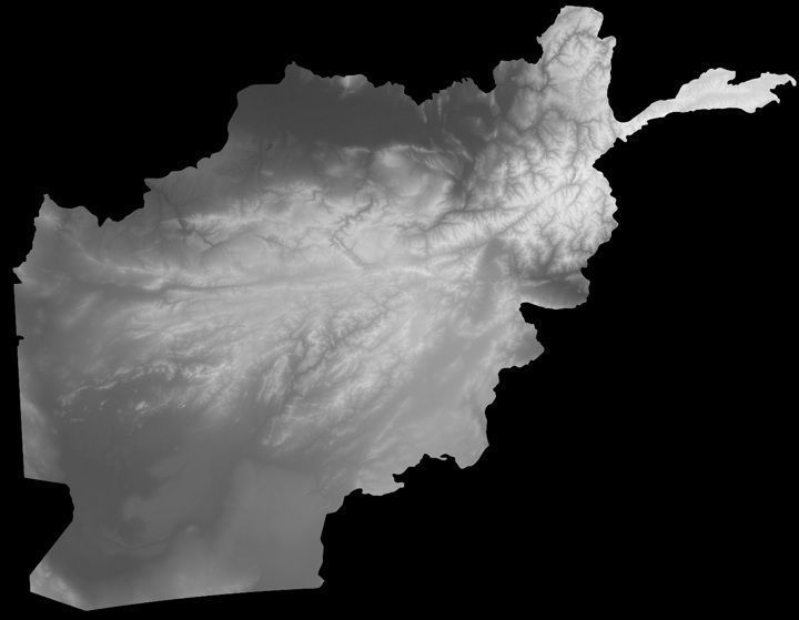
The greyscale values between 0-1 are heightvalues between -100 and 10000 metres.For a proper result the greyscale values should be remapped accordingly.
In the files, LatLon means aligned to the following latitude/longitude coordinates :minimum Latitude :29.0maximum Latitude :39.0minimum Longitude :60.0maximum Longitude :75.0
Cartesian means the latitude/longitude coordinates got mapped onto a earth-sized sphere,then aligned the poles to a grid and brought to the origin. This method should have the least distortion.The other heightmap with longitude/latitude coordinates are on the Mercator projection.
afghanistan_cartesian_heightmap.jpg - resolution :13757x10681
afghanistan_cartesian_heightmap_heightmap.exr - resolution :13757x10681
afghanistan_heightmap_latlon_29.0_39.0_29.0_39.0.exr - resolution :15360x10240
afghanistan_heightmap_latlon_29.0_39.0_29.0_39.0.jpg - resolution :15360x10240
preview0.jpg - resolution :1280x576
preview1.jpg - resolution :1280x576
preview2.jpg - resolution :1280x576
preview3.jpg - resolution :1376x1068
preview4.jpg - resolution :1536x1024
tags:heightmap earth longitude latitude world geomapping elevation elevationmap
Similar Models

Users who bought this item also bought...