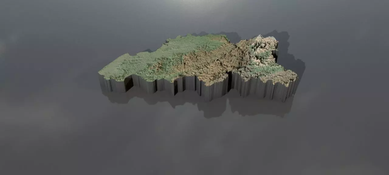
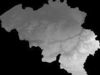
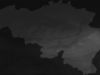
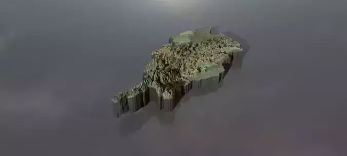
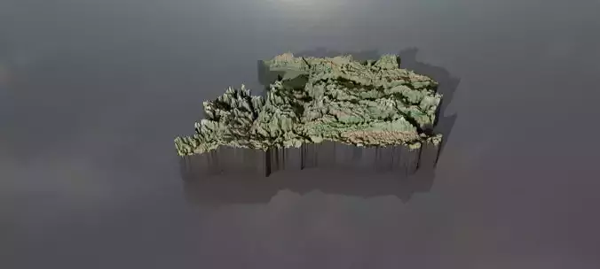
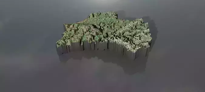
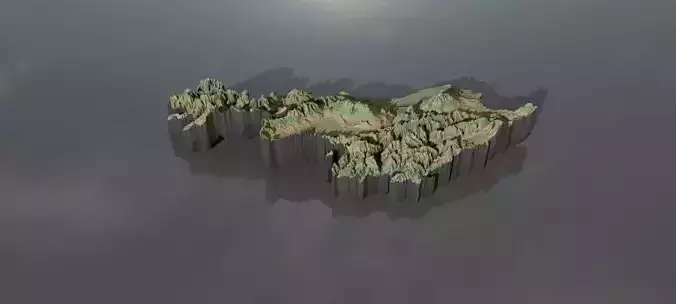
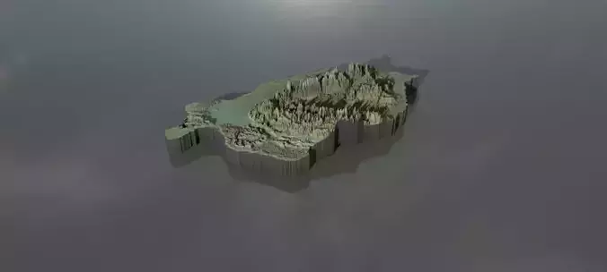
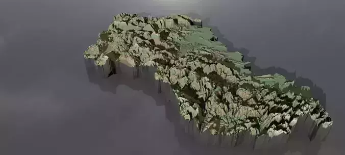
Collection of heightmaps and geometry for Belgium.Import : the preview images have boosted heights to make it easier to see.The greyscale values between 0-1 are heightvalues between -100 and 10000 metres.For a proper result the greyscale values should be remapped accordingly.
In the files, LatLon means aligned to the following latitude/longitude coordinates :minimum Latitude :49.0maximum Latitude :52.0minimum Longitude :2.0maximum Longitude :7.0
Cartesian means the latitude/longitude coordinates got mapped onto a earth-sized sphere,then aligned the poles to a grid and brought to the origin. This method should have the least distortion.
belgium_cartesian_heightmap.jpg - resolution :2129x2129
belgium_cartesian_heightmap_heightmap.exr - resolution :2129x2129
belgium_heightmap_latlon_49.0_52.0_49.0_52.0.exr - resolution :5120x3072
belgium_heightmap_latlon_49.0_52.0_49.0_52.0.jpg - resolution :5120x3072
preview0.jpg - resolution :1280x576
preview1.jpg - resolution :1280x576
preview2.jpg - resolution :1280x576
preview3.jpg - resolution :213x213
preview4.jpg - resolution :512x307