Need to produce stunning images of our home planet but all you can find are old low-resolution textures on websites long forgotten by time, or a wild maze of links to scientific archives with horrific naming and obscure file extensions? Not to worry, I've done all of that for you and you can now just skip to the fun part of creating great visuals.
Creating planetary imagery is a strong passion of mine and to produce the best possible results you need the highest quality source material. I've poured countless hours into acquiring, processing and converting planetary maps into formats usable by artists, and that work has translated into what some may call ludicrous textures. I call it future proof.
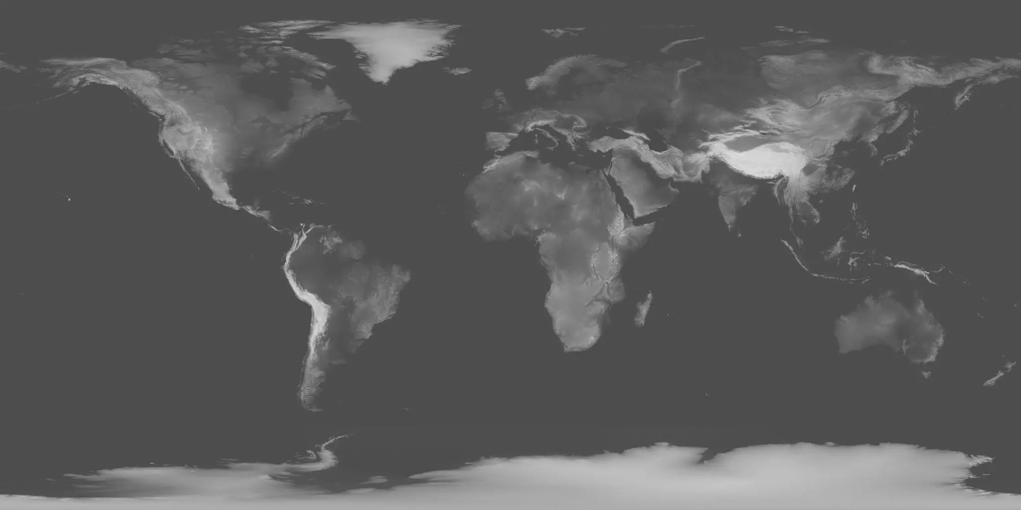
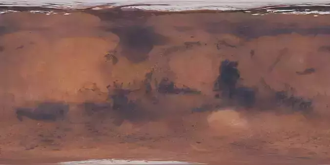
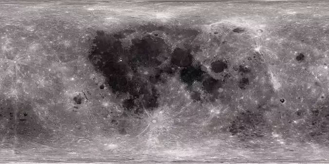
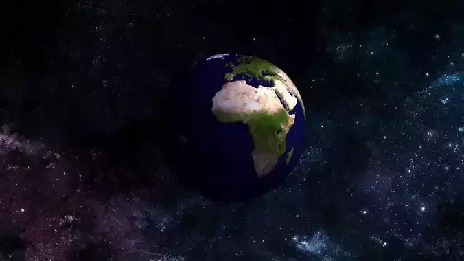
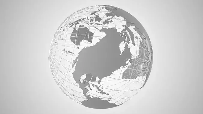
This height map was derived mainly from the data gathered by NASA's Shuttle Radar Topography Mission back in 2000. Space Shuttle Endeavour orbited the planet for eleven days with a giant antenna extending from it's cargo bay, mapping the surface elevation in fantastic detail.
From this data I've produced a very high quality 16-bit displacement map of the entire Earth. The maximum resolution is ridiculously high at 86400 by 43200, which means the detail level is stunning and stands up to close scrutiny. It's amazing when you hit render and can actually see the intricate details of river valleys and shadows cast by mountain ranges.
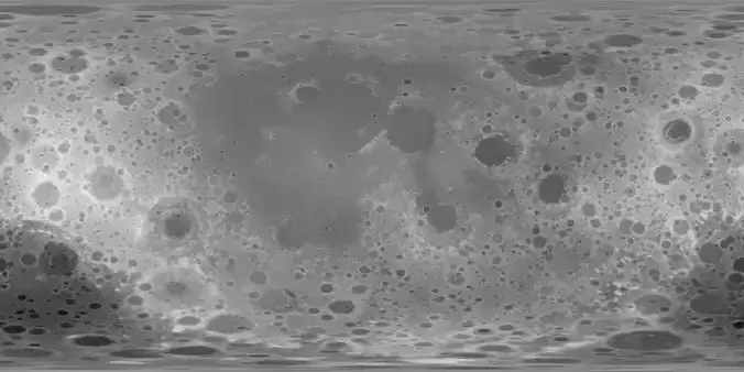
Please note that due to the nature of the projection the accuracy of the map is lower the closer you get to the poles. The resolution should still be more than sufficient for high quality closeups.
Since memory consumption and bandwidth is always an issue, I've divided the download into 86k, 43k, 21k and 8k archives. Grab them all, or pick the one best suited for your needs. The textures are delivered in TIFF format.