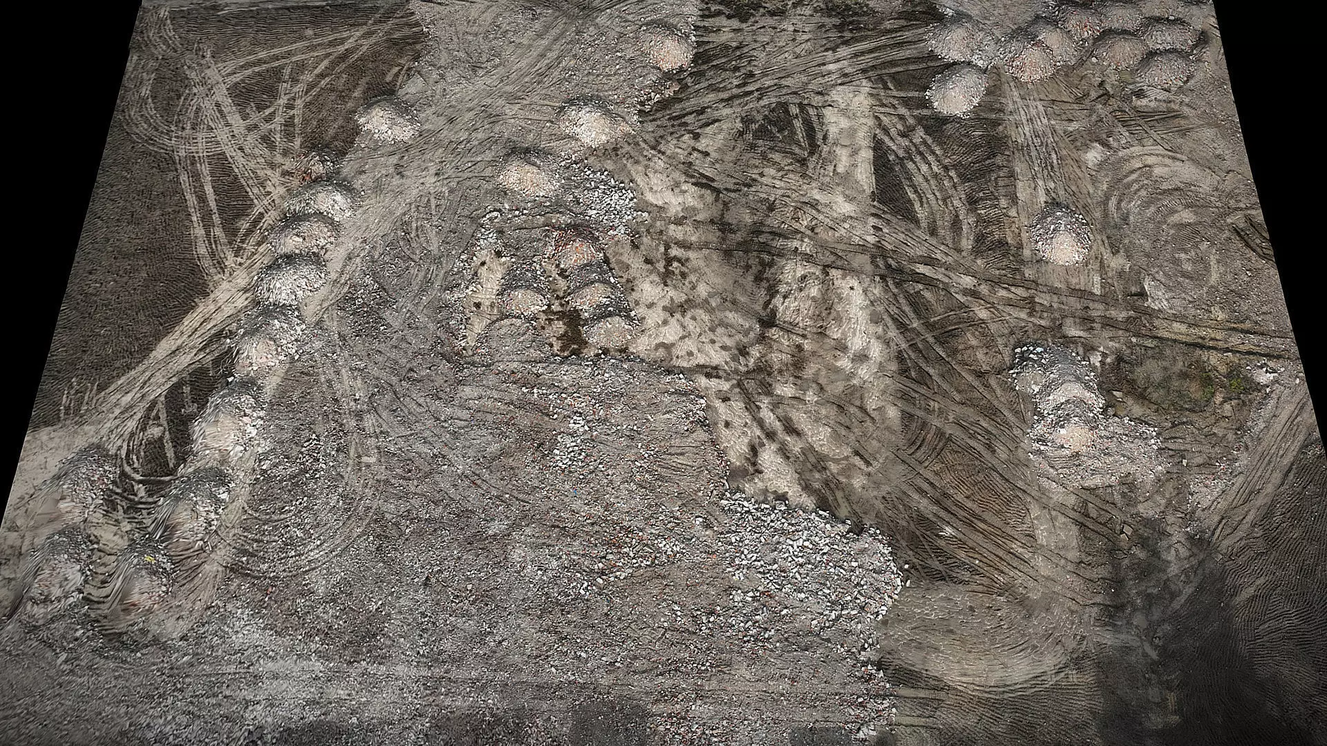
construction-site terrain ground photogrammetry

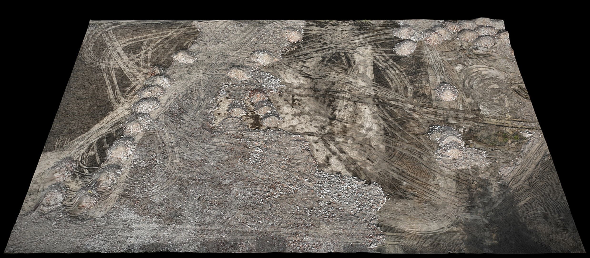
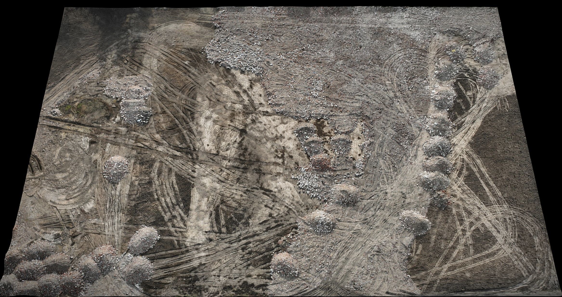
construction-site terrain ground photogrammetry Low-poly 3D model

Description
  • aerial drone scan - ground area patch
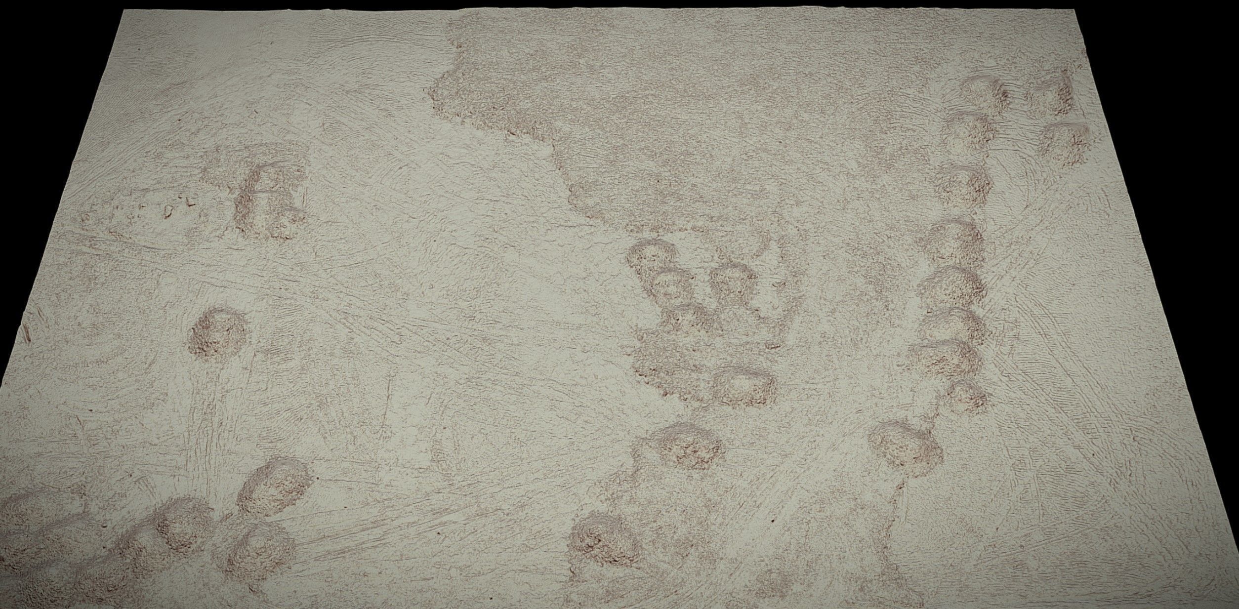
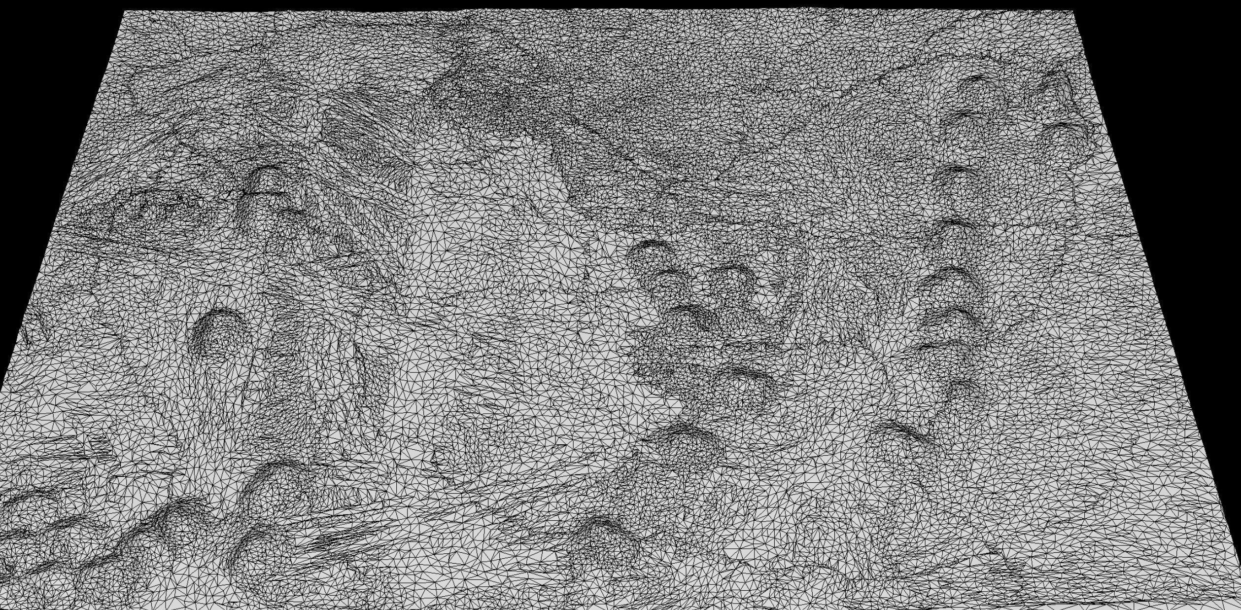
  • lowpoly optimized mesh smoothing groups - .OBJ file 1udimm
  • 4k textures 1x: BaseColor
  • 4k textures 1x: Roughness, Nrm, Occlusion
Item rating
0 0
construction-site terrain ground photogrammetry
$4.99
 
Royalty Free No Ai License 
construction-site terrain ground photogrammetry
$4.99
 
Royalty Free No Ai License 
Response 75% in 1.5h
3D Modeling
Lighting
UV mapping
Texturing
Shaders
3D Scanning
PBR modeling

3D Model formats

Format limitations

3D Model details

  • Ready for 3D Printing
  • Animated
  • Rigged
  • VR / AR / Low-poly
  • PBR
  • Geometry Polygon mesh
  • Polygons 62,798
  • Vertices 31,639
  • Textures
  • Materials
  • UV Mapping
  • Unwrapped UVs Non-overlapping
  • Plugins used
  • Publish date2024-08-03
  • Model ID#5444160
Chat