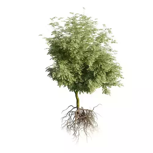
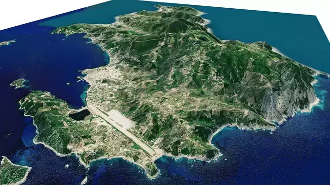
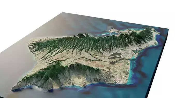
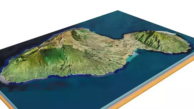
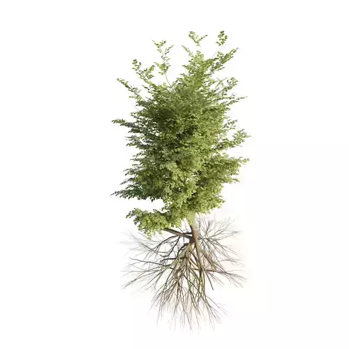
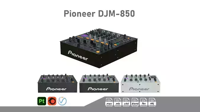
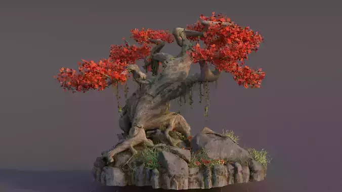
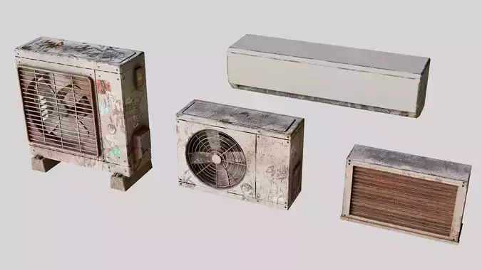
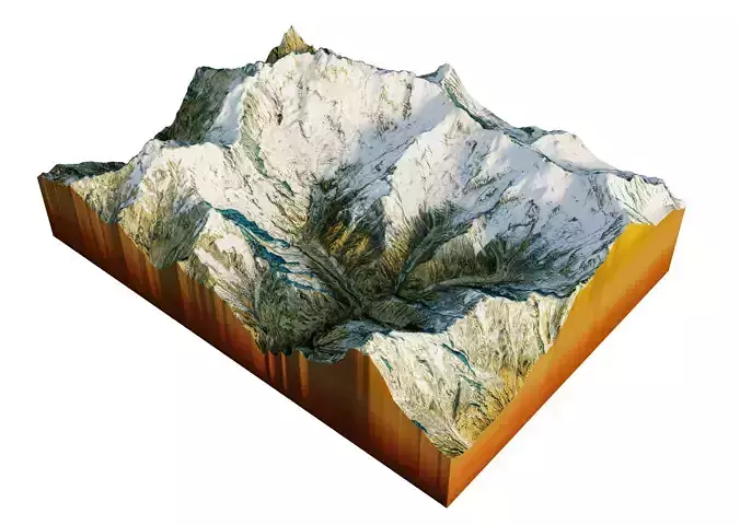
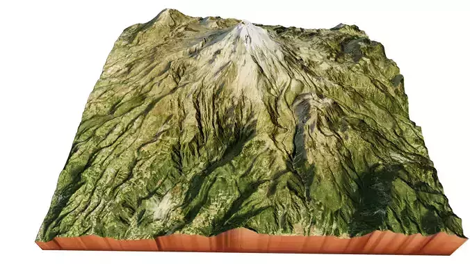
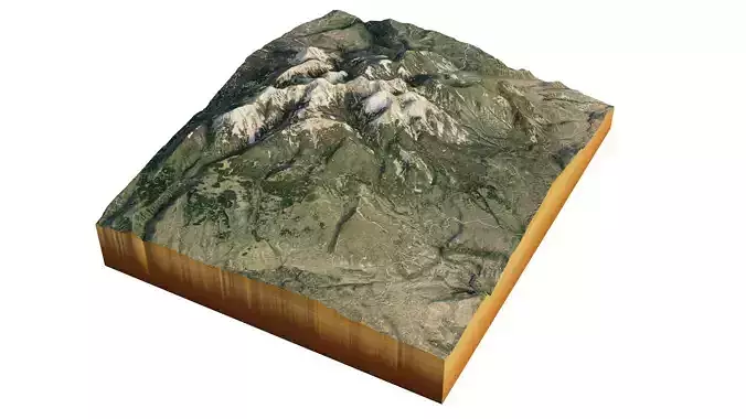
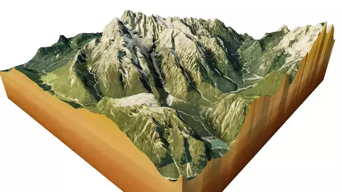
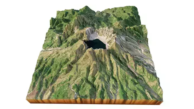
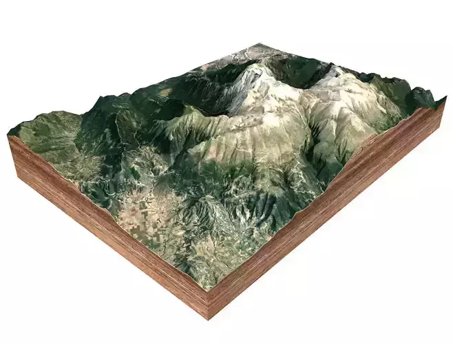
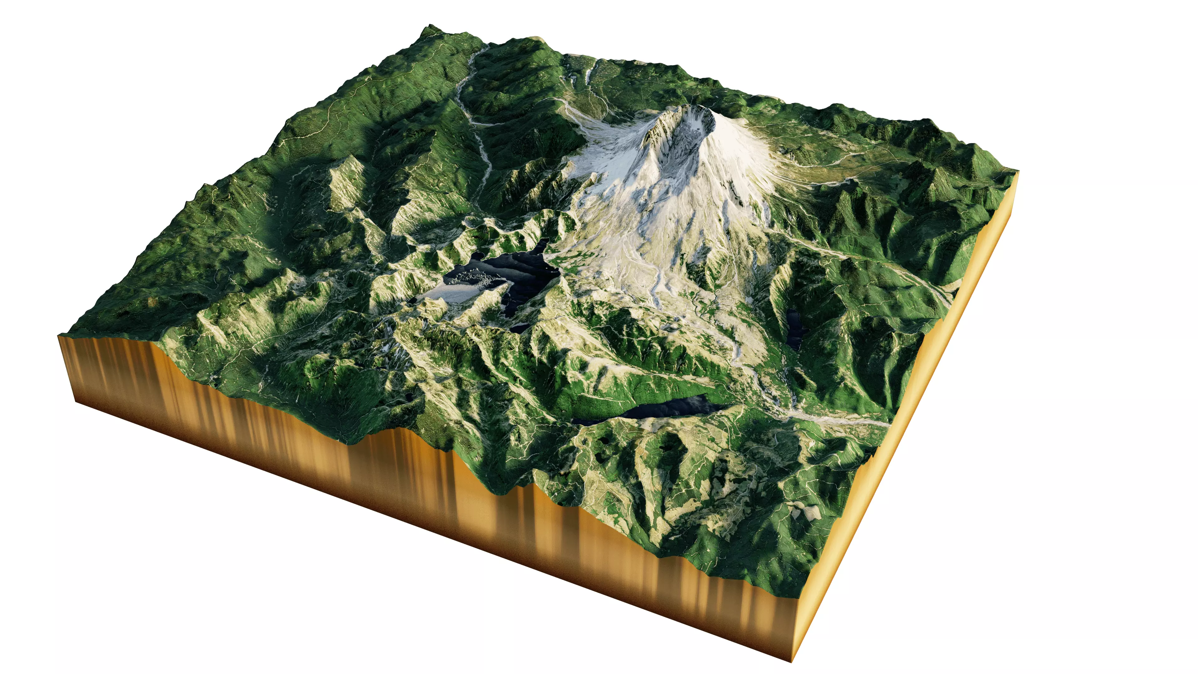
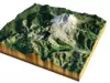
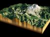
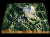
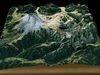
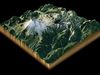
DESCRIPTION

Mount Saint Helens 3D Model Terrain

3d model of Mount Saint Helens, Washington with its highest peak 2,549 m

High Poly meshHigh detailed model

with 8K textures

  • Diffuse map
  • AO map

  • Textures and Blender file .blend zipped together

texture example from the Mount St. Helens stratovolcano Skamania County, Washington. The Mount St. Helens major eruption of May 18, 1980 remains the deadliest and most economically destructive volcanic event in U.S. history

REVIEWS & COMMENTS

See what other buyers think about this model - real feedback on quality,
accuracy, and usability.
There are no reviews or comments yet. Please be the first one to write it.

Mount Saint Helens 3D Terrain 3D model

Royalty Free License
Hire
Like this model to show appreciation to the designer.
See how many times this model was viewed.
Share this model to support the designer and boost their visibility.
File formats
STL
Stereolithography<br />File Size: 25.3 MB
OBJ
OBJ<br />File Size: 41.7 MB
BLEND
Blender<br />File Size: 126 MB
FBX
Autodesk FBX<br />File Size: 16.7 MB
Provided by designer
Information and details shared directly by the model's designer.
3D Features
Textures
The model includes image files (textures) that add color, patterns, or detail to its surfaces.
Materials
The model has material settings that define how surfaces look (color, shine, transparency, etc.).
Plugins Used
Some external plugins were used to create the model. These may be required for full functionality.
3D printing
Indicates whether the designer marked this model as suitable for 3D printing.
Model is not 3D printable
The designer indicates this model is intended for digital use only (rendering, animation, or AR/VR) and not for 3D printing.
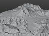
Geometry
265217 polygons
The total number of polygons (flat shapes) that make up the 3D model.
/ 265217 vertices
The number of points (corners) that define the shape of the model's polygons.
Unwrapped UVs
Publish date
Model ID
Chat