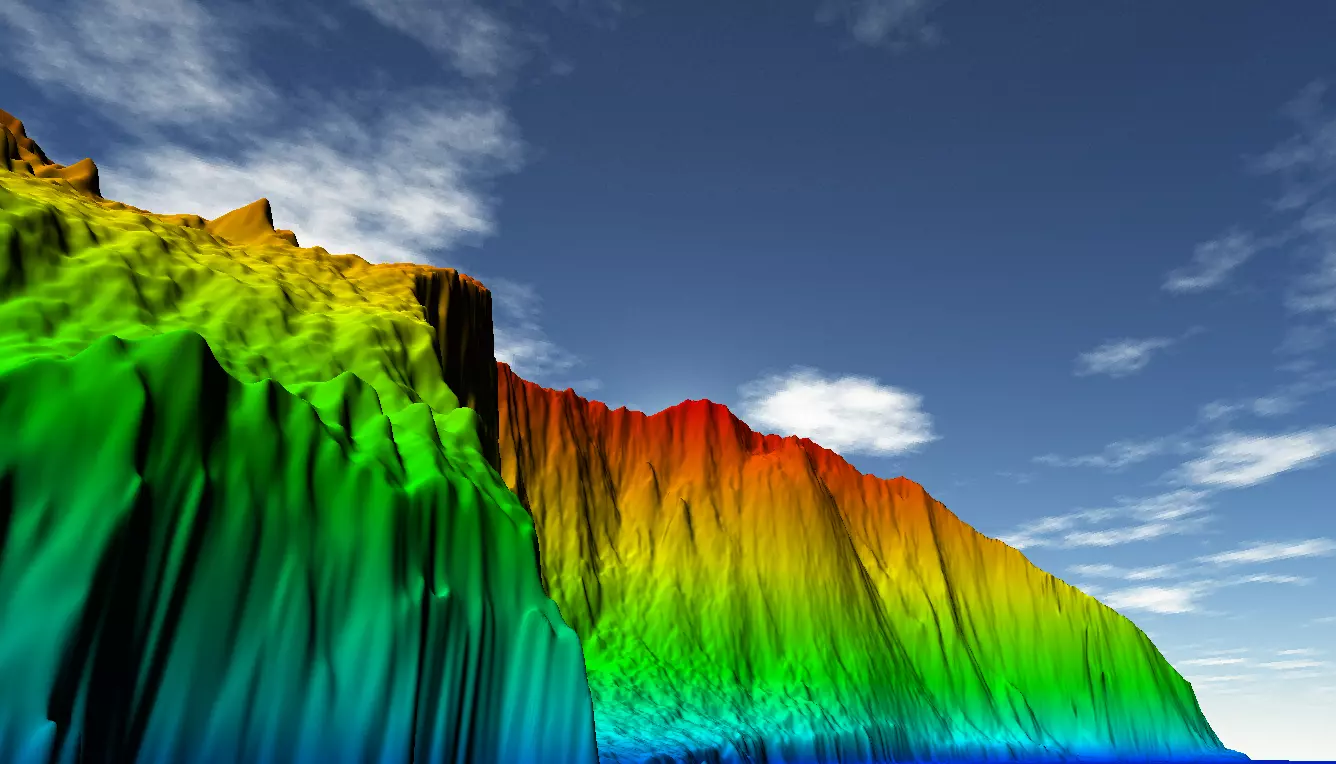
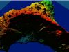
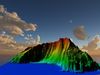
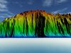
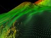
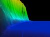
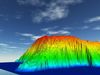
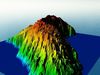
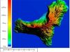
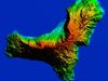
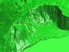
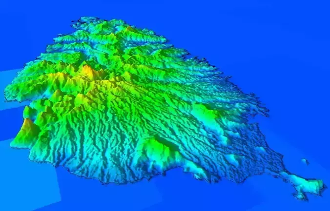
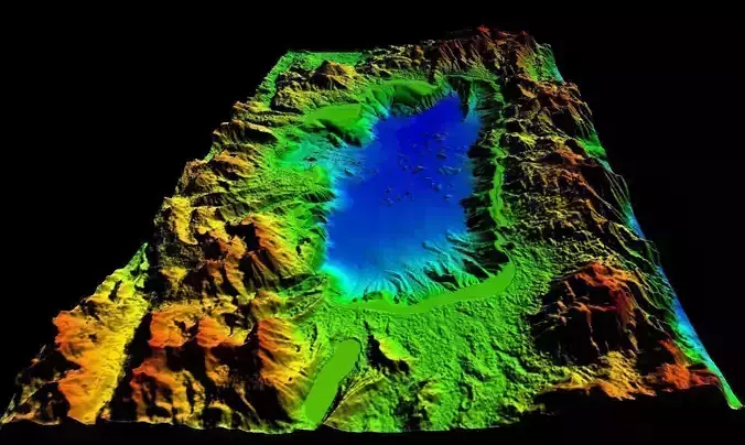
*El Hierro *(Canary Islands) digital elevation model with true high accuracy
List of attached files :
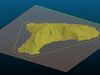
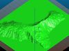
- > island.FBX
- >island.STL and island topo.gcode For 3D printer
- >island.BLEND
- >Texture-Lapalma-islandDEM.tif ( GeoTiff )
- >island bis .mtl
- >island bis (1).obj
- > Area : 28.6km x 24.5km
- > **min **altitude 0 m ( sea level )
- > **Max **altitude 1500 m
- > Elevation spatial resolution : *12.5 m ( more and more better than google earth resolution ) *
- > Planimetric resolution : 1.5mx1.5m
- > Projection : UTM ( WGS84 )
- > the scale used in FBX is : X=1 , Y=1, Z=1
Attention : The reduction scale used in OBJ file or Blend : X = -0.004 , Y =-0.004, Z=-0.010 **( high poly)
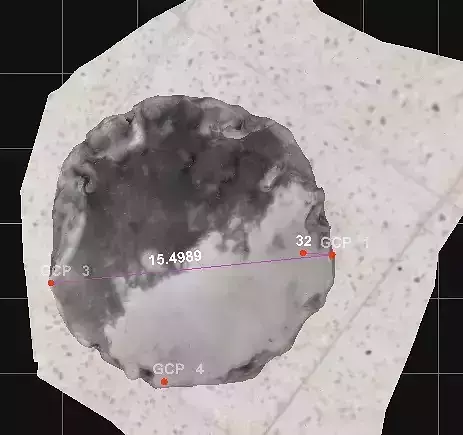
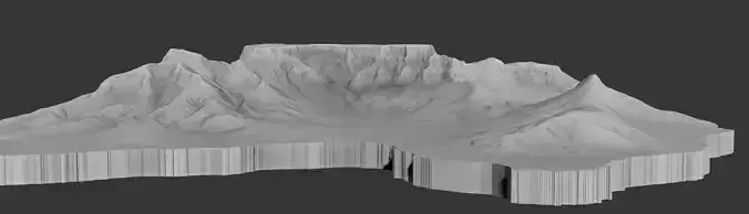
Texture of map elevation color : Texture-laplama-isla.ndDEM.Tif ( 13633 px x 11585 px - 96dpi-24bits color-9Mo -); it contain also elevation data for those who want to used in GIS program.For 3D print : island topo.gcode file is attached :
- details for 3D print : layer height : 0.15 mm
- size (mm) ; 173.85 x 149.18 *22.79 ( 150%)
- Volume : 85 475.32
- Facets : 9 229 616 ( 1 shells ).
Link for the la plma island with true texture ( vegetation and landscape layer ) ; https://www.cgtrader.com/3d-models/exterior/landscape/la-palma-island-high-level-details