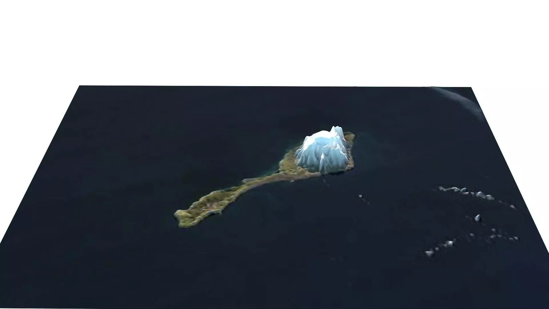
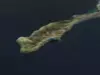
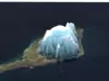
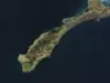
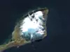
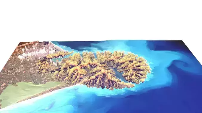
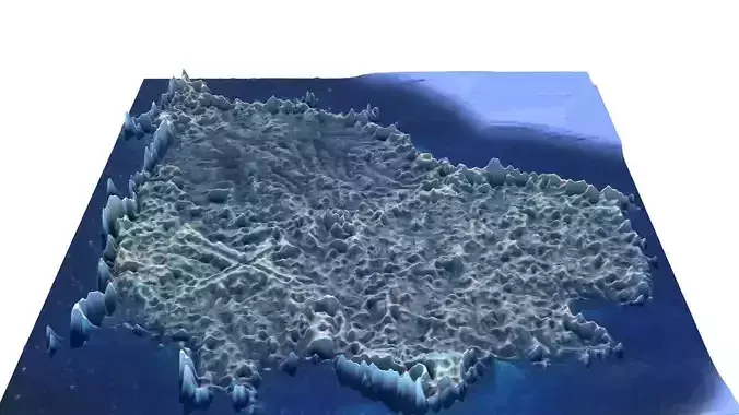
DescriptionJan Mayen (Urban East Norwegian: [jɑn ˈmɑ̀ɪən]) is a Norwegian volcanic island in the Arctic Ocean with no permanent population. It is 55 km (34 mi) long (southwest-northeast) and 377 km2 (146 sq mi) in area, partly covered by glaciers (an area of 114.2 km2 (44.1 sq mi) around the Beerenberg volcano). It has two parts: larger northeast Nord-Jan and smaller Sør-Jan, linked by a 2.5 km (1.6 mi) wide isthmus. It lies 600 km (370 mi) northeast of Iceland (495 km [305 mi] NE of Kolbeinsey), 500 km (310 mi) east of central Greenland, and 900 km (560 mi) northwest of Vesterålen, Norway. The island is mountainous, the highest summit being the Beerenberg volcano in the north. The isthmus is the location of the two largest lakes of the island, Sørlaguna (South Lagoon) and Nordlaguna (North Lagoon). A third lake is called Ullerenglaguna (Ullereng Lagoon). Jan Mayen was formed by the Jan Mayen hotspot and is defined by geologists as a microcontinent. Although administered separately, in the ISO 3166-1 standard, Jan Mayen and Svalbard are collectively designated as Svalbard and Jan Mayen, with the two-letter country code SJ. It was also given the web domain of .sj. However, the domain is not in use and Norway's .no is used in its place. Jan Mayen is home to Beerenberg, which is the northernmost subaerial active volcano in the world. Jan Mayen Island has one exploitable natural resource, gravel, from a site located at Trongskaret. Other than this, economic activity is limited to providing services for employees of Norway's radio communications and meteorological stations located on the island. Jan Mayen has one unpaved airstrip, Jan Mayensfield, which is about 1,585 m (5,200 ft) long. The 124.1 km (77.1 mi) coast has no ports or harbors, only offshore anchorages. There are important fishing resources, and the existence of Jan Mayen establishes a large exclusive economic zone (EEZ) around it. Norway has asserted a 200-nautical-mile (370-kilometre) EEZ around the island since 1980 encompassing more than a quarter of a million square kilometers. The Norwegian Coast Guard is responsible for conducting fishery and other maritime surveillance and enforcement in these waters. Norway has found large deposits of minerals along the Mid-Atlantic Ridge between Jan Mayen and southern Svalbard/Bear Island, including copper, zinc, cobalt, gold and silver. The expeditions have also discovered high concentrations of lithium and scandium. In total, it is estimated that the amount of copper could amount to 21.7 million tonnes, but other estimates are around 7 million tonnes. License for deep sea mining is now under consideration. A dispute between Norway and Denmark regarding the fishing exclusion zone between Jan Mayen and Greenland was settled in 1988 granting Denmark the greater area of sovereignty. Geologists suspect significant deposits of petroleum and natural gas lie below Jan Mayen's surrounding seafloors. Jan Mayen Island is an integral part of the Kingdom of Norway. Since 1995, Jan Mayen has been administered by the County Governor (statsforvalter) of the northern Norwegian county of Nordland, to which it is closest. However, some authority over Jan Mayen has been assigned to the station commander of the Norwegian Defence Logistics Organisation, a branch of the Norwegian Armed Forces. In late-2025, the Norwegian defence ministry presented a draft proposal for the possible expansion of military police authority on the island. According to the proposal, under the Military Police Act a “military area can be established and enforced on the island – as an officer in the Armed Forces, the station commander there will also have authority to intervene to maintain security and prevent or stop law violations.”
Texture Resolution: 440 x 340