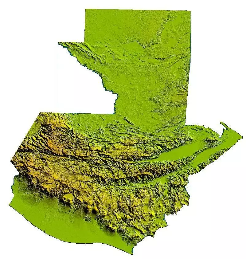
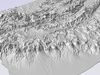
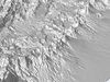
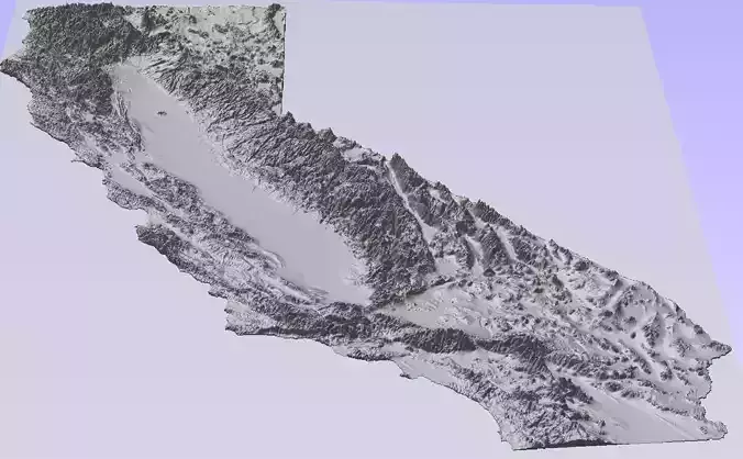
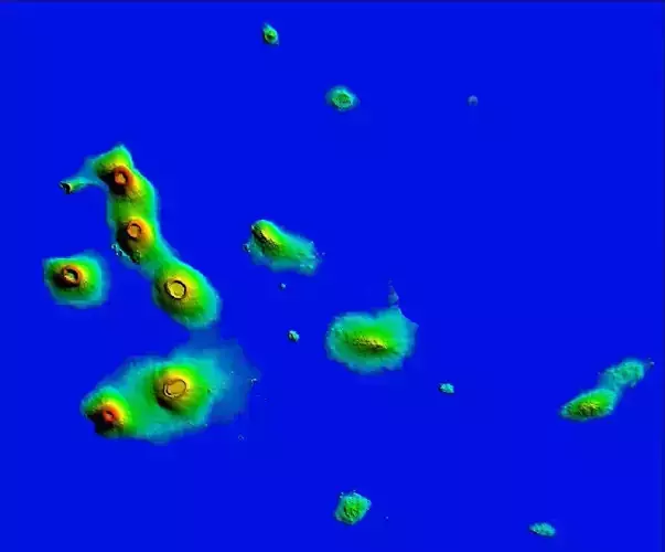
Embark on a virtual odyssey through the stunning landscapes of Guatemala with our meticulously crafted 3D Terrain Digital Elevation Model (DEM). This high-resolution model offers an immersive portrayal of Guatemala's diverse topography, capturing the essence of its volcanic peaks, sprawling highlands, and lush rainforests.
Key Features:
Precision and Authenticity:Immerse yourself in the authenticity of Guatemala's terrain with our 3D Terrain DEM, crafted with meticulous attention to precision and accuracy. From the towering volcanic peaks to the intricate network of rivers, every aspect of Guatemala's geography is faithfully represented.
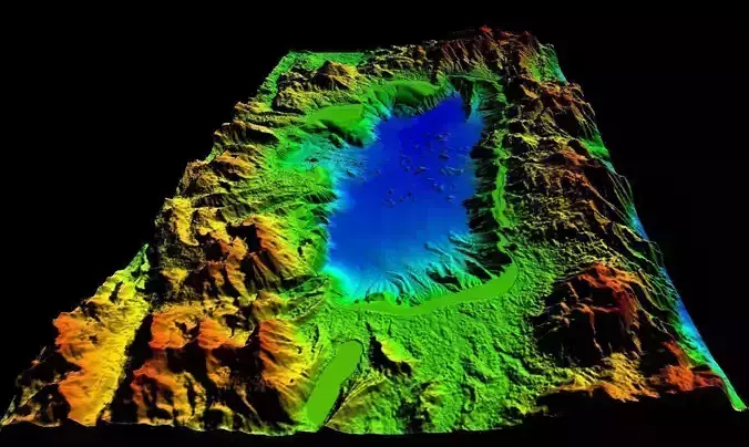
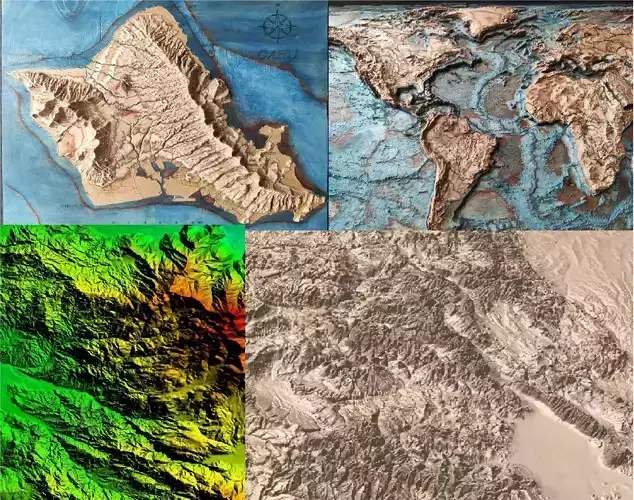
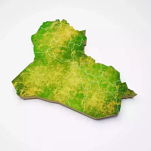
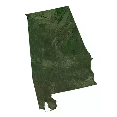
High-Resolution Detail:Explore the intricacies of Guatemala's landscape with our high-resolution model. Revel in the breathtaking detail of the highlands, valleys, and lakes that define Guatemala's topographical beauty. Every contour and feature is rendered with unparalleled clarity.
Customization Options:Tailor the model to your specific project needs with customizable options. Adjust the scale, resolution, or color palette to seamlessly integrate the model into your vision. Whether you're working on a gaming environment, educational simulation, or GIS analysis, our 3D Terrain DEM can be adapted to suit your requirements.
Versatile Formats:The model is available in a variety of industry-standard formats, including DEM, Geotiff, and STL, ensuring compatibility with a wide range of 3D modeling and rendering software. This flexibility allows for easy integration into your preferred workflow.
Applications:Our 3D Terrain DEM of Guatemala is a versatile asset suitable for virtual tourism, environmental studies, GIS analysis, and more. Enhance the realism of your virtual world, conduct geographical research, or add an authentic touch to your educational content.
Easy Integration:Seamlessly integrate the model into your projects with user-friendly workflows. Whether you're an experienced 3D artist or a GIS professional, our model is designed to enhance your work without sacrificing ease of use.
Transport your audience to the heart of Guatemala's natural wonders with our 3D Terrain Digital Elevation Model. Elevate your projects with the beauty of Guatemala, and let the rich topography of this Central American gem inspire your creativity. Purchase now and unlock the gateway to a world of virtual exploration!