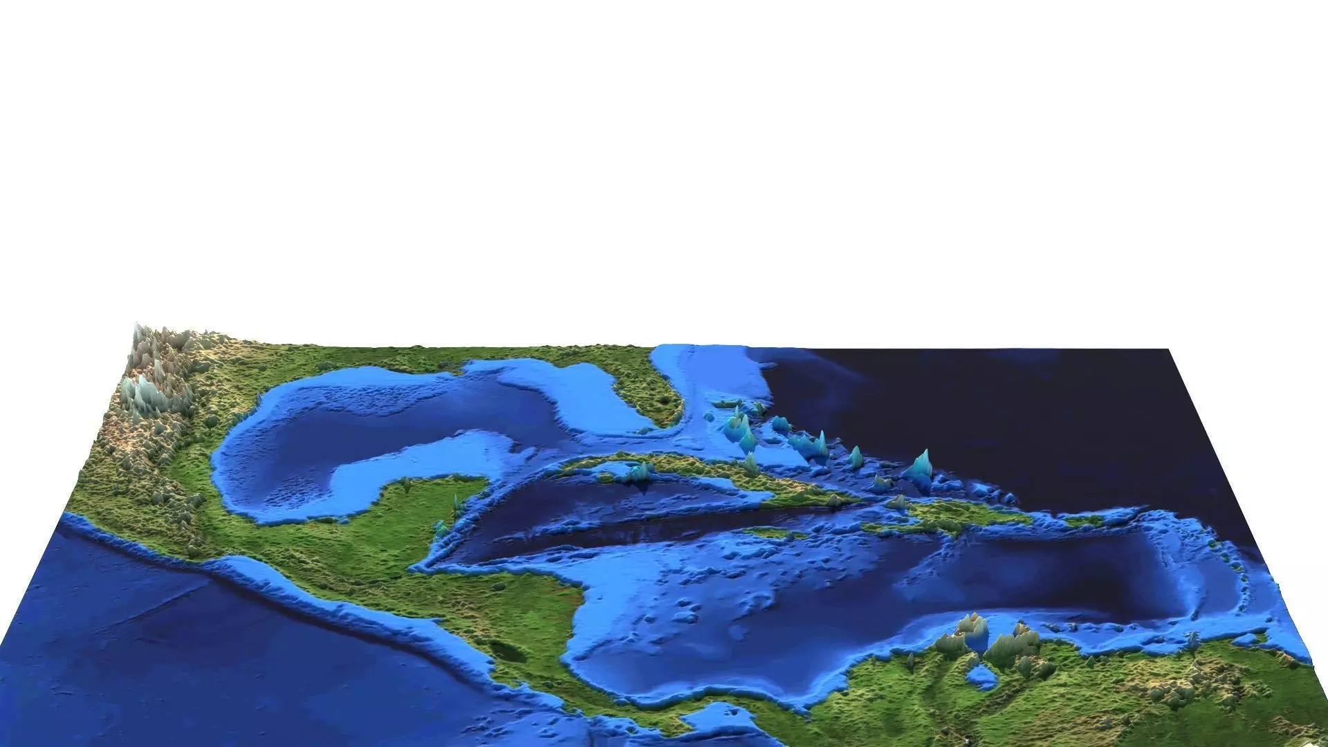
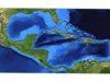
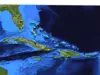
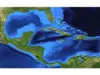
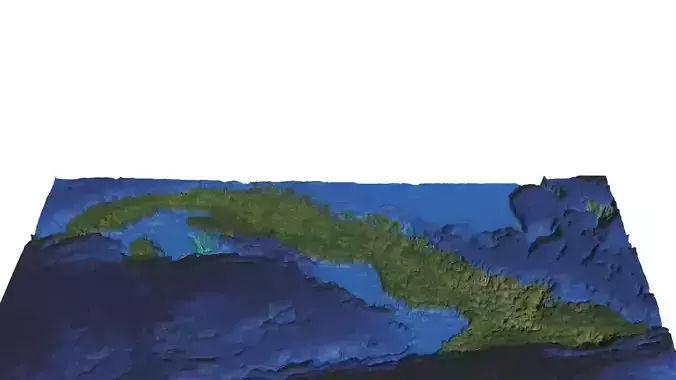
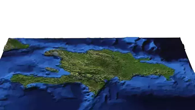
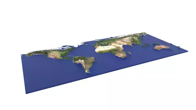
DescriptionThe Caribbean is a region in the middle of the Americas centered around the Caribbean Sea in the North Atlantic Ocean, mostly overlapping with the West Indies. Bordered by North America to the north and also the west through Central America, and South America to the south, it comprises numerous islands, cays, islets, reefs, and banks. It includes the Lucayan Archipelago, Greater Antilles, and Lesser Antilles of the West Indies; the Quintana Roo islands and Belizean islands of the Yucatán Peninsula; and the Bay Islands, Miskito Cays, Archipelago of San Andrés, Providencia, and Santa Catalina, Corn Islands, and San Blas Islands of Central America. It also includes the coastal areas on the continental mainland of the Americas bordering the region from the Yucatán Peninsula in North America through Central America to the Guianas in South America. Situated largely on the Caribbean plate, the region has thousands of islands, islets, reefs, and cays. Island arcs delineate the northern and eastern edges of the Caribbean Sea: the Greater Antilles in the north and the Lesser Antilles, which includes the Leeward Islands, Windward Islands, and the Leeward Antilles, to the east and south. The nearby northwestern Lucayan Archipelago, comprising The Bahamas and the Turks and Caicos Islands, and the island of Barbados in the Lesser Antilles, are considered to be a part of the Caribbean despite not bordering the Caribbean Sea. All the islands in the Antilles, including the Lucayan Archipelago, form the West Indies, a term often interchangeable with the Caribbean. The archipelago of Bermuda is not part of the Caribbean, as it lies in the Sargasso Sea to the north, but it is an associate member of the Caribbean Community. On the continental mainland of the Americas, the Caribbean coasts of Mexico, Central America, and South America, including the Yucatán Peninsula of Mexico, Bay Islands Department of Honduras, the Mosquitia region, Cartagena and Barranquilla in Colombia, Maracaibo and Cumaná in Venezuela, are considered part of the Caribbean. As with the coastal areas of the mainland, Belize, Panama, Guyana, Suriname, and French Guiana are often completely included within the Caribbean due to their strong political and cultural ties with the region. Geopolitically, the islands of the Caribbean are often regarded as a subregion of North America, though sometimes they are included in Middle America, or regarded as its own subregion as the Caribbean. The Caribbean is sometimes considered alongside Central America as a region. Generally, the Caribbean region is organized into 33 political entities, including 13 sovereign states, 12 dependencies, 7 overseas territories, and various disputed territories. From 15 December 1954 to 10 October 2010, there was a territory known as the Netherlands Antilles composed of five islands, all of which were Dutch dependencies. From 3 January 1958 to 31 May 1962, there was also a short-lived political union called the British West Indies Federation composed of ten English-speaking Caribbean territories, all of which were then British dependencies. The modern Caribbean is one of the most ethnically diverse regions on the planet, as a result of European colonization by the Spanish, English, Dutch, and French; the Atlantic slave trade from Sub-Saharan Africa; indentured servitude from the Indian subcontinent and Asia; as well as modern immigration from around the world.
Texture Resolution: 1600 x 1050