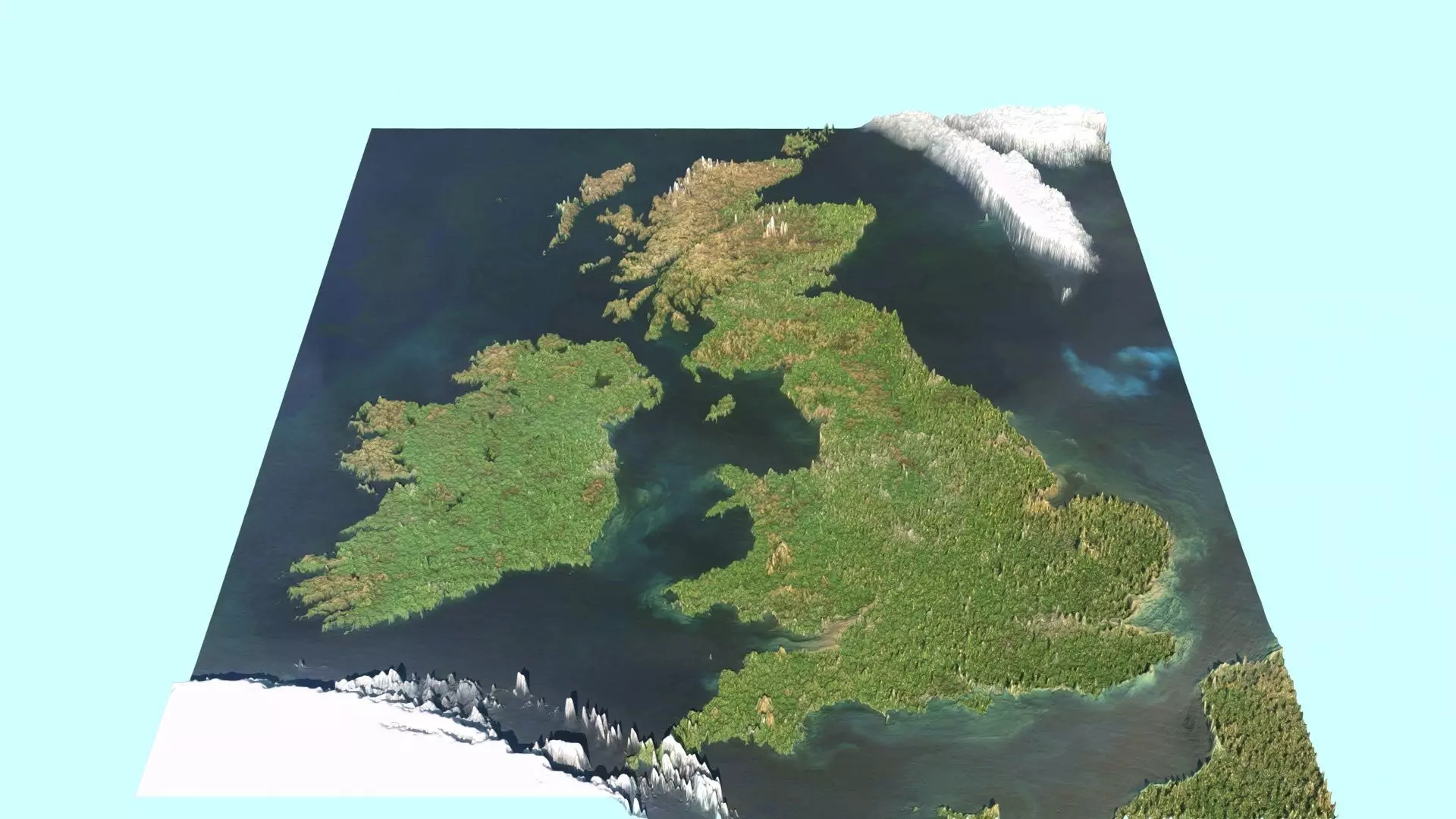
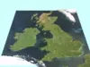
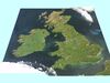
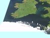
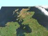
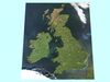
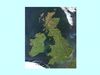
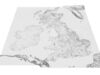
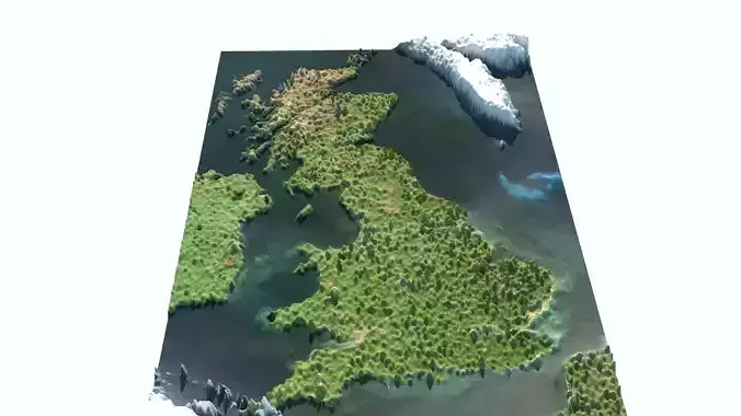
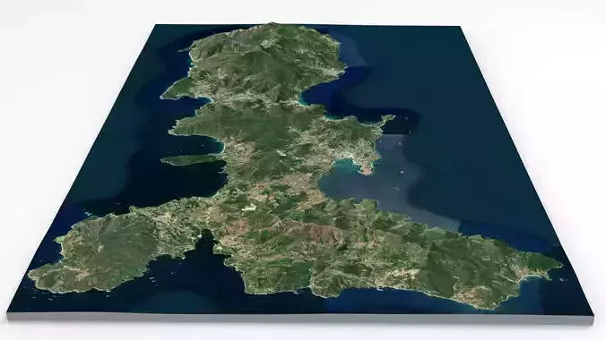
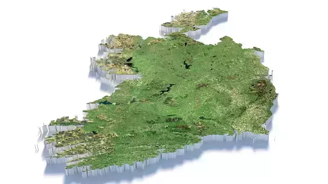
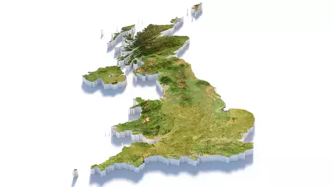
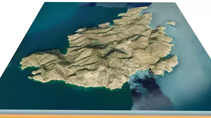
DescriptionBritish Isles Map(Great Britain Map or United Kingdom and Ireland Map). The British Isles are an archipelago in the North Atlantic Ocean off the north-western coast of continental Europe, consisting of the islands of Great Britain, Ireland, the Isle of Man, the Inner and Outer Hebrides, the Northern Isles (Orkney and Shetland), and over six thousand smaller islands. They have a total area of 315,159 km2 (121,684 sq mi) and a combined population of almost 72 million, and include two sovereign states, the Republic of Ireland (which covers roughly five-sixths of Ireland) and the United Kingdom of Great Britain and Northern Ireland. The Channel Islands, off the north coast of France, are normally taken to be part of the British Isles, even though geographically they do not form part of the archipelago. Under the UK Interpretation Act 1978, the Channel Islands are clarified as forming part of the British Islands, not to be confused with the British Isles. The oldest rocks are 2.7 billion years old and are found in Ireland, Wales and the north-west of Scotland. During the Silurian period, the north-western regions collided with the south-east, which had been part of a separate continental landmass. The topography of the islands is modest in scale by global standards. Ben Nevis, the highest mountain, rises to only 1,345 metres (4,413 ft) and Lough Neagh, which is notably larger than other lakes in the island group, covers 390 square kilometres (151 sq mi). The climate is temperate marine, with cool winters and warm summers. The North Atlantic drift brings significant moisture and raises temperatures 11 °C (20 °F) above the global average for the latitude. This led to a landscape that was long dominated by temperate rainforest, although human activity has since cleared the vast majority of forest cover. The region was re-inhabited after the last glacial period of Quaternary glaciation, by 12,000 BC, when Great Britain was still part of a peninsula of the European continent. Ireland was connected to Great Britain by the British-Irish Ice Sheet before 14,000 BC and was not inhabited until after 8000 BC. Great Britain became an island by 7000 BC with the flooding of Doggerland. The Gaels (Ireland), Picts (northern Great Britain) and Britons (southern Great Britain), all speaking Insular Celtic languages, inhabited the islands at the beginning of the 1st millennium BC. Much of Brittonic-occupied Britain was conquered by the Roman Empire from AD 43. The first Anglo-Saxons arrived as Roman power waned in the 5th century, and eventually they dominated the bulk of what is now England. Viking invasions began in the 9th century, followed by more permanent settlements and political change, particularly in England. The Norman conquest of England in 1066 and the later Angevin partial conquest of Ireland from 1169 led to the imposition of a new Norman ruling elite across much of Britain and parts of Ireland. By the Late Middle Ages, Great Britain was separated into the Kingdom of England and Kingdom of Scotland, while control in Ireland fluxed between Gaelic kingdoms, Hiberno-Norman lords and the English-dominated Lordship of Ireland, soon restricted only to the Pale. The 1603 Union of the Crowns, Acts of Union 1707 and Acts of Union 1800 aimed to consolidate Great Britain and Ireland into a single political unit, the United Kingdom of Great Britain and Ireland, with the Isle of Man and the Channel Islands remaining as Crown Dependencies. The expansion of the British Empire and migrations following the Irish Famine and Highland Clearances resulted in the dispersal of some of the islands' population and culture throughout the world, and rapid depopulation of Ireland in the second half of the 19th century. Most of Ireland seceded from the United Kingdom after the Irish War of Independence and the subsequent Anglo-Irish Treaty (1919–1922), with six counties remaining in the UK as Northern Ireland. As a term, British Isles is a geographical name and not a political unit. In Ireland, the term is controversial and there are objections to its usage. The Government of Ireland does not officially recognise the term and its embassy in London discourages its use. Britain and Ireland is used as an alternative description and Atlantic Archipelago has also seen limited use in academia. In official documents created jointly by Ireland and the United Kingdom, such as the Good Friday Agreement, the term these islands is used.
Texture Resolution: 3600 x 4400