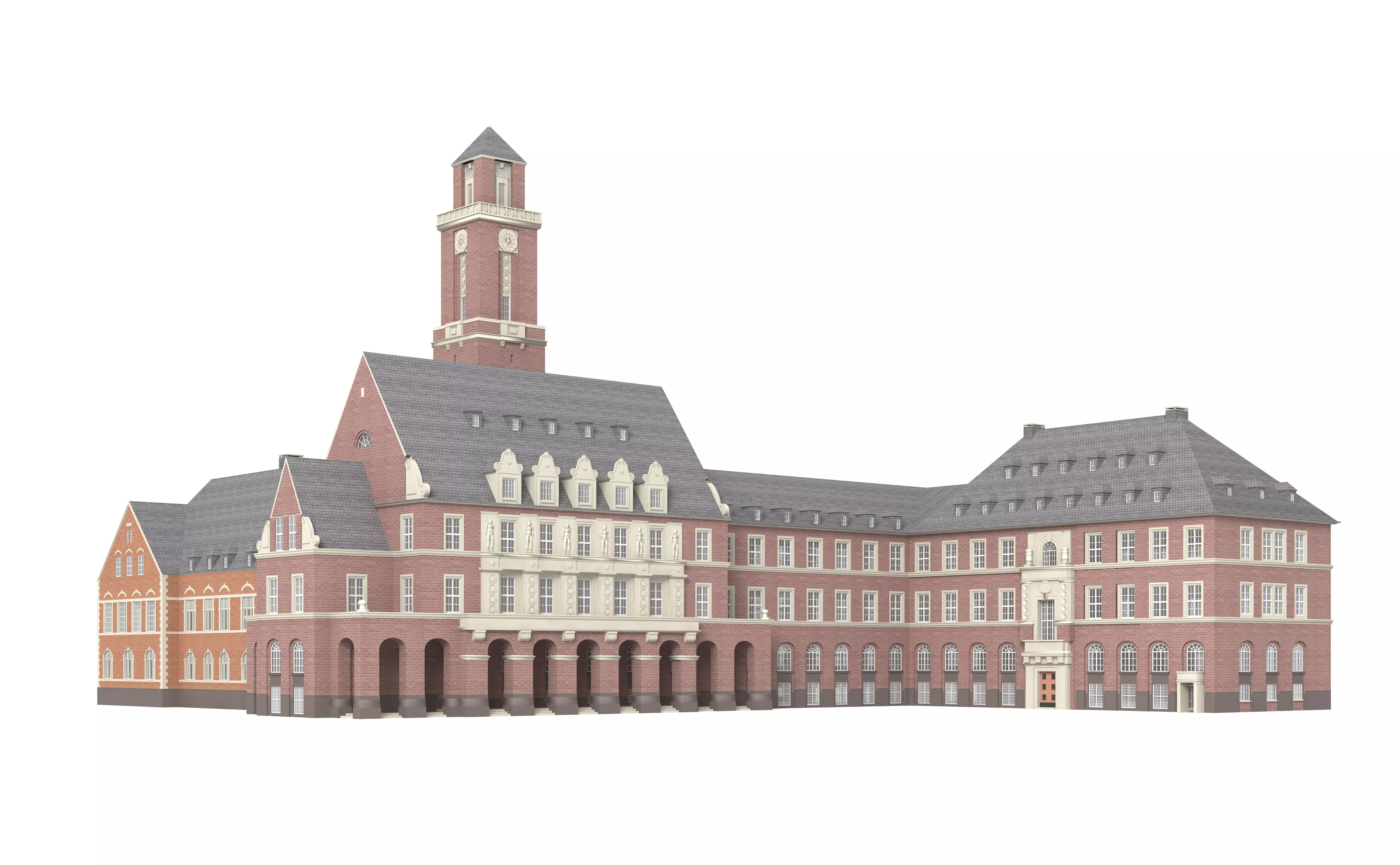
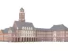
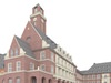
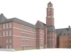
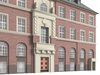
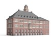
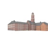
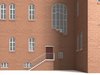
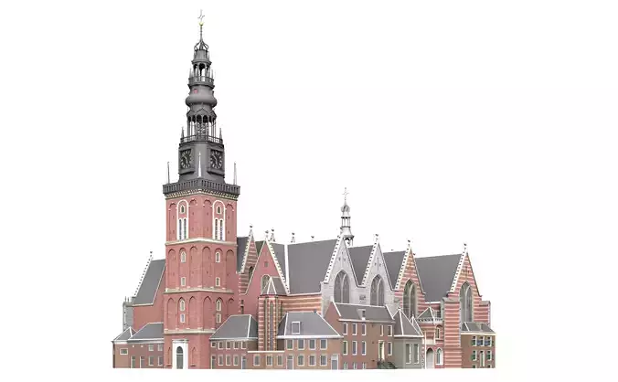
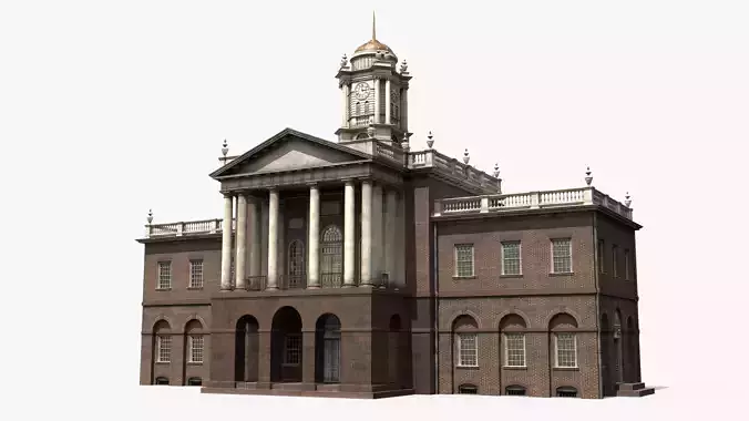
With your purchase you receive the 3D building model of the City Hall Bottrop as DAE, 3DS, C4D and SKP for immediate download. (see details)
City Hall Bottrop is an German building. It was build 1910–1916. This building was build in the time of ‘Neo’ The city had been a coal-mining and rail center and contains factories producing coal-tar derivatives, chemicals, textiles, and machinery. Bottrop grew as a mining center beginning in the 1860s, was chartered as a city in 1921, and bombed during the Oil Campaign of World War II. In 1975 it unified with the neighbour communities of Gladbeck and Kirchhellen, but Gladbeck left it in 1976, leading to Kirchhellen becoming a district of Bottrop as Bottrop-Kirchhellen.
in North Rhine-Westphalia, GermanyBottrop is located in GermanyCoordinates: 51°31′29″N 06°55′22″ECoordinates: 51°31′29″N 06°55′22″ECountry GermanyState North Rhine-Westphalia
Altmarkt in the citySt. Cyriacus's Church (Catholic)St. Martin's Church (Protestant)Bottrop (German pronunciation: [ˈbɔtʁɔp] (About this sound listen)) is a city in west central Germany, on the Rhine-Herne Canal, in North Rhine-Westphalia. Located in the Ruhr industrial area, Bottrop adjoins Essen, Oberhausen, Gladbeck and Dorsten. The city had been a coal-mining and rail center and contains factories producing coal-tar derivatives, chemicals, textiles, and machinery. Bottrop grew as a mining center beginning in the 1860s, was chartered as a city in 1921, and bombed during the Oil Campaign of World War II. In 1975 it unified with the neighbour communities of Gladbeck and Kirchhellen, but Gladbeck left it in 1976, leading to Kirchhellen becoming a district of Bottrop as Bottrop-Kirchhellen.