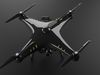
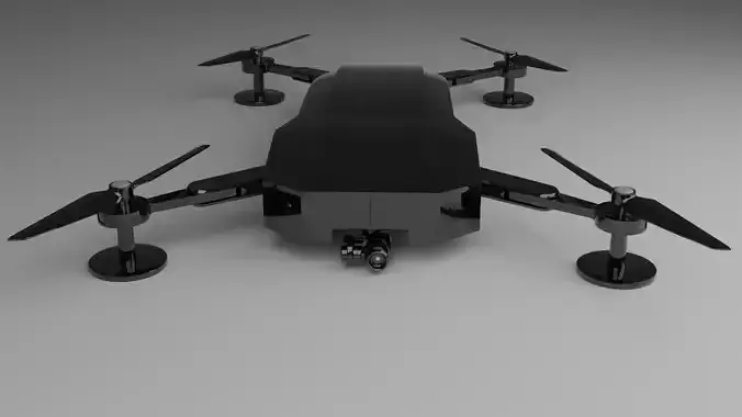
A 3D drone, also known as a 3D mapping drone or photogrammetry drone, is a specialized type of unmanned aerial vehicle (UAV) that is equipped with advanced sensors and cameras capable of capturing high-resolution imagery and data to create three-dimensional (3D) models of landscapes, objects, or structures. These drones are primarily used for surveying, mapping, and generating accurate 3D representations of various environments.
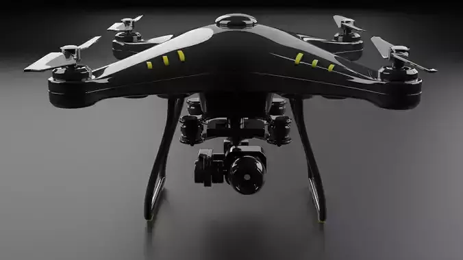
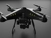
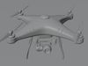
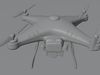
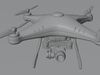
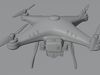
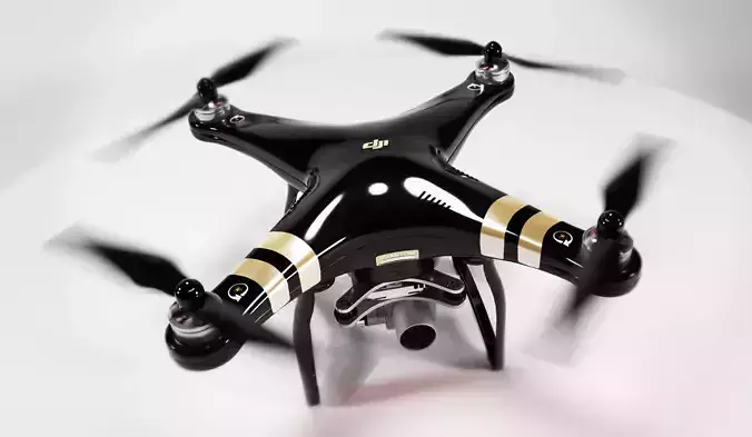
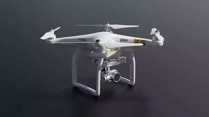
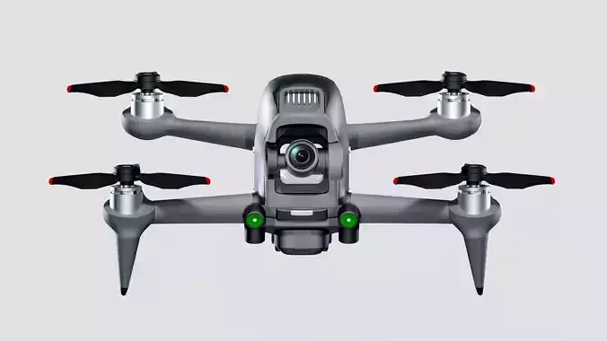
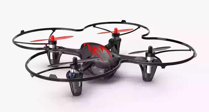
Design and Components: The design of a 3D drone is similar to other UAVs, but it is equipped with specific components to enable 3D mapping capabilities. Key components include:
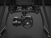
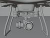
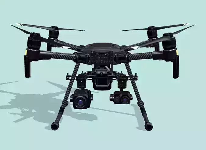
High-Resolution Cameras: 3D drones are equipped with high-quality cameras, often with a high megapixel count and precise lenses, to capture detailed aerial images.
GNSS/GPS Receivers: The drone's Global Navigation Satellite System (GNSS) or Global Positioning System (GPS) receivers provide accurate location data, which is crucial for geo-referencing the images and creating accurate 3D models.
IMU (Inertial Measurement Unit): An IMU is a sensor that measures the drone's orientation, accelerations, and angular rates. This data helps in stabilizing the drone during flight and improves the accuracy of image positioning.
Flight Controller: Like other drones, a 3D drone is equipped with a flight controller that manages the drone's flight and navigation based on user inputs or pre-programmed flight plans.
Working Principle: To create a 3D model, the drone follows a specific flight path while capturing a series of overlapping aerial images of the target area. The images are captured from different angles to ensure comprehensive coverage and improve the accuracy of the 3D reconstruction. The captured images are then processed using photogrammetry software, which uses computer vision algorithms to analyze the images, identify common points, and generate a 3D model.
Construction and Infrastructure: In the construction industry, 3D drones are used for monitoring construction progress, verifying adherence to design plans, and assessing the structural integrity of buildings and infrastructure.
Environmental Monitoring: 3D drones can be employed to monitor changes in natural landscapes, assess vegetation health, and track erosion or environmental disturbances.
Archaeology and Cultural Heritage: Archaeologists use 3D drones to create detailed 3D models of archaeological sites, cultural artifacts, and historical buildings for documentation and preservation purposes.
Mining and Quarrying: 3D drones assist in mapping and monitoring mining sites, optimizing operations, and estimating stockpile volumes.
Emergency Response: In disaster management, 3D drones can rapidly assess and map affected areas, aiding rescue and recovery efforts.
Benefits: The use of 3D drones provides numerous advantages, including:
Faster data collection and processing compared to traditional surveying methods. Safer data acquisition in challenging or hazardous environments. Highly accurate and detailed 3D models for better decision-making. Cost-effective solutions for large-scale mapping and surveying projects. Overall, 3D drones play a vital role in modern mapping and surveying applications, providing valuable insights and enabling informed decision-making across a wide range of industries.