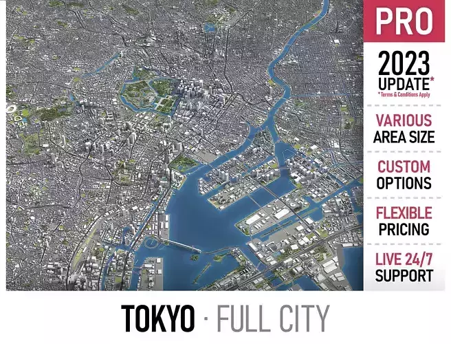
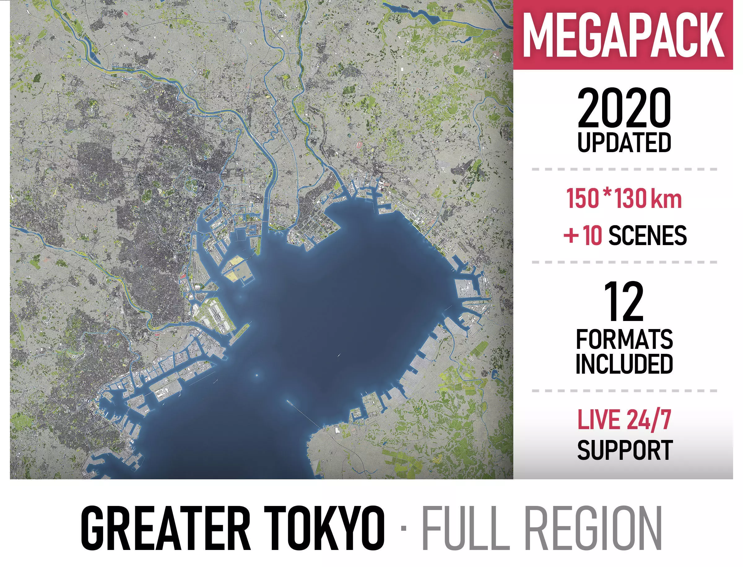
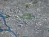
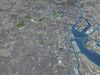
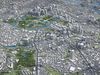
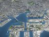
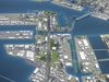
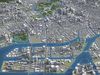
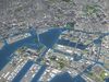
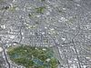
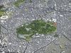
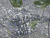
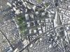
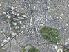
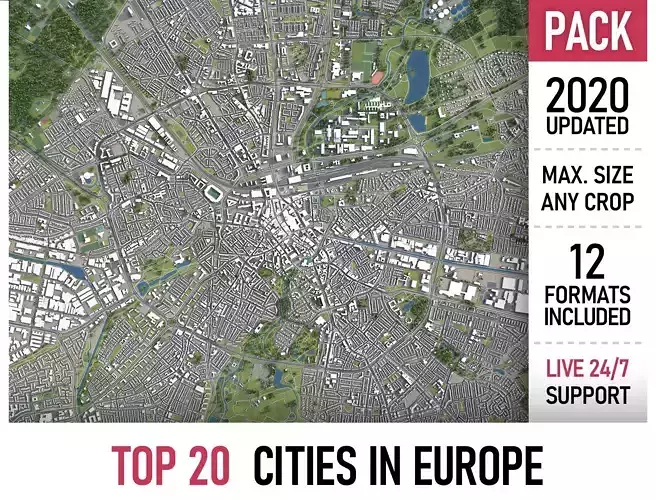
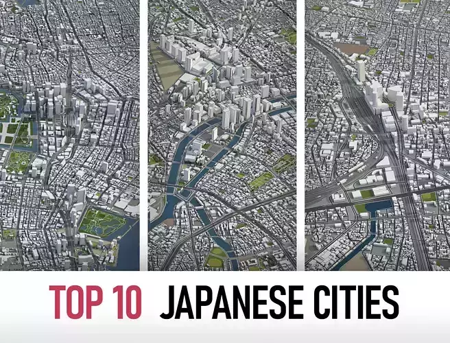
This is exact and accurate to scale 3D city model of Greater Tokyo Metropolitan Area based on GIS data (July 2020)
- File units: Meters
- Scale: 1:1
PACKAGE CONTENTS
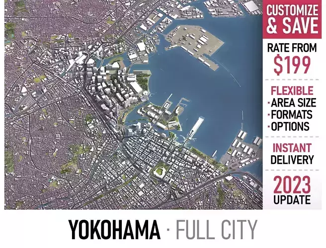
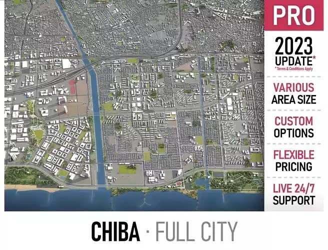
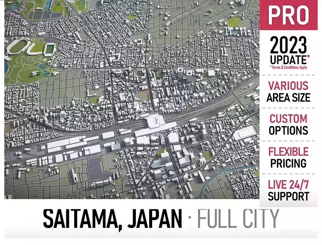
- This collection includes cities of the Greater Tokyo Area
- Chiba
- Kawasaki
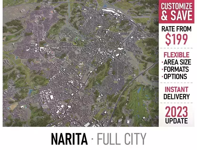
- Narita
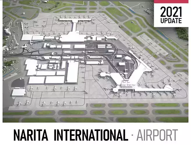
- Narita International Airport (NRT)
- Saitama
- Tokyo
- Tokyo Haneda Airport (HND)
- Yokohama
- FORMATS INCLUDED
-
MAX - Autodesk 3dsMax
-
FBX, OBJ, DAE - Exchange Format
-
DWG, DXF - Autodesk AutoCAD
-
UNITYPACKAGE - Unity 3D / request
-
3DM - Rhino 3D / request
-
SKP - SketchUp / request
-
BLEND - Blender / request
-
RVT - Autodesk Revit / request
PRODUCT INFO
- USAGE
- This model is suitable for visualization, AR/VR, real-time and game use, architecture, consulting, education
- Perfect for town and urban planning, real estate and property development
- KEY BENEFITS
- This 3D city model is georeferenced, exact and accurate to real-world scale
- Buildings, landuse areas, roads and railways split by type (see scene structure)
- Surface is flat, easy to add details and edit geometry (terrain on request)
- EXTRAS (on request)
- Administrative boundaries of all levels (named polygons or outlines)
- Road and railway splines for traffic animation
- Realistic low-poly trees and forests
- Public transport stops with names
SCENE STRUCTURE - model is organized by layers, all objects split by type and named properly
- BUILDINGS
- residential
- commercial
- industrial
- public
- sports
- parkings
- transport
- ROADS
- highways
- primary
- secondary
- tertiary
- residential
- service
- RAILWAYS
- train
- city tram
- subway
- monorail
- PAVEMENT
- sidewalk
- footway
- cycleway
- LANDUSE
- residential
- public
- industrial
- construction
- agriculture
- VEGETATION
- forest
- grass
- scrub
- park
- garden
- cemetery
- recreation
- NATURAL
- AIRPORT
- building (terminal, gates)
- apron
- taxiway
- runway
SUPPORT - please send us a message 24/7
-
FREE - Product update with the latest GIS data
-
$199+ - Request any other city or area (same day delivery)
-
$99+ - Add terrain based on SRTM or LIDAR elevation data (3-5 LODs optimized)