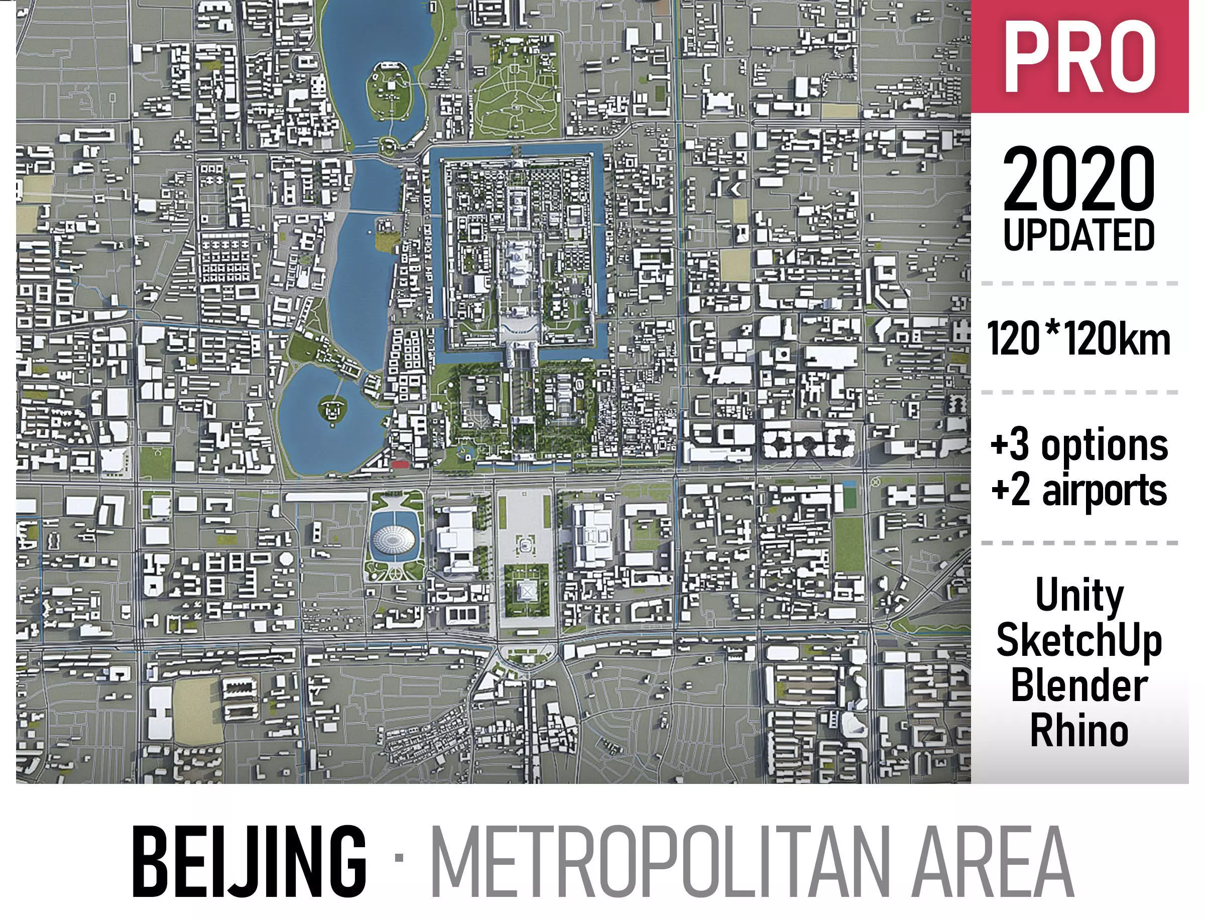
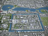
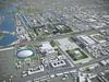
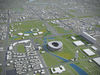
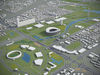
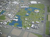
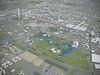
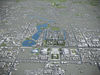
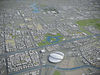
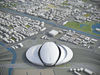
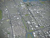
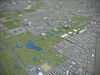
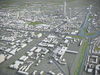
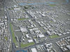
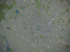
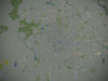
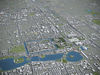
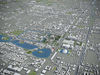
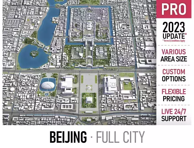
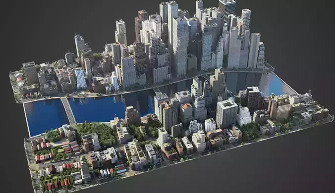
This is exact and accurate to scale 3D city model of Beijing region based on GIS data (January 2020)
- This 3D city is georeferenced, exact and accurate to real-world scale
- File units: Meters
- Scale: 1:1
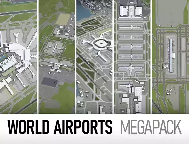
MEGAPACK
- This collection includes 5 scenes of different size
- You may purchase any scene with extra discount!
-
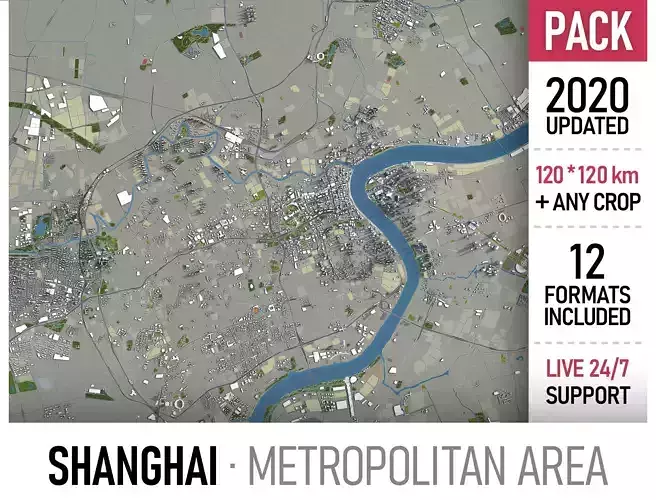
120 x 120 km - Full scene
-
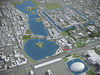
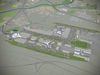
40 x 40 km - Entire city (incl. airport)
-
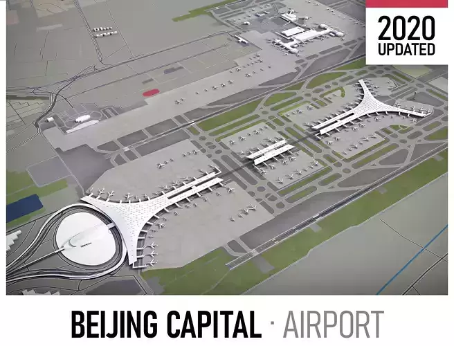
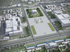
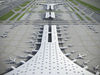
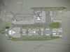
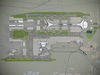
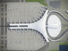
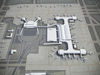
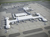
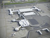
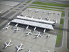
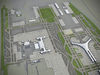
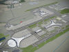
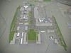
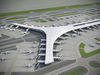
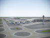
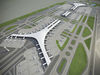
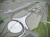
15 x 15 km - Beijing Capital International Airport (PEK)
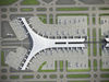
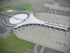
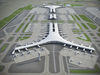
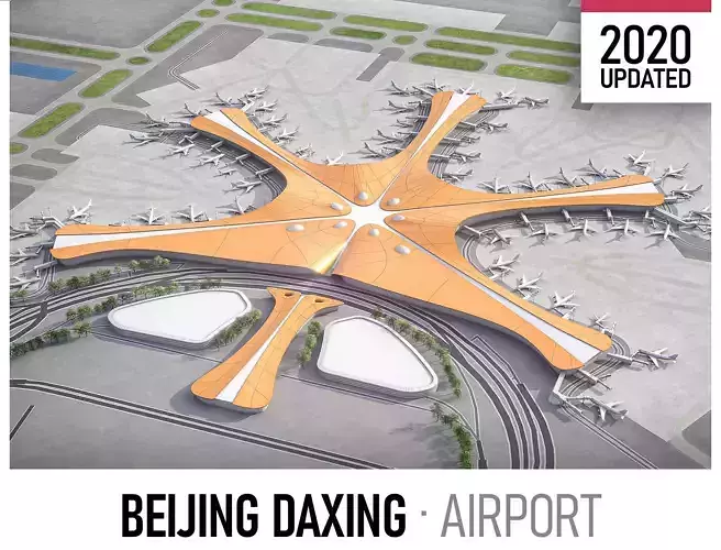
- 20 x 20 km - Beijing Daxing Airport (PKX)
-
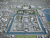
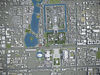
7 x 7 km - City center
FORMATS
-
MAX - 3dsMax (V-Ray and Standard materials)
-
FBX, OBJ, DAE - Exchange Formats
-
UNITYPACKAGE - Unity 3D
-
BLEND - Blender
-
SKP - SketchUp
-
3DM - Rhino 3D
KEY BENEFITS
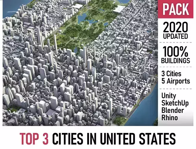
- 100% buildings coverage from 125,192,184 buildings footprint polygon geometries in all U.S. States
- Administrative boundaries as polygon geometries named accordingly
- Surface is flat, easy to add details and edit geometry (terrain on request)
- Buildings, landuse areas, roads and railways split by type (see scene stucture)
- Realistic low-poly trees and street lamps (instance objects in a separate scene)
- Road and railway splines for traffic animation
- Public transport stops (placeholders with name)
USAGE
- This model is suitable for visualization, AR/VR, real-time and game use, architecture, consulting, education
- Perfect for town and urban planning, real estate and property development
SCENE STRUCTURE - model is organized by layers, all objects split by type and named properly
- BUILDINGS
- residential
- detached houses
- commercial
- industrial
- educational
- public
- sports
- parkings
- transport
- religious
- unclassified
- ROADS
- highways
- primary
- secondary
- tertiary
- residential
- service
- RAILWAYS
- high-speed train
- city tram
- subway
- monorail
- construction
- abandoned
- PAVEMENT
- pedestrian
- sidewalk
- paths
- cycleway
- LANDUSE
- residential
- rural
- public
- industrial
- construction
- agriculture
- VEGETATION
- forest
- grass
- scrub
- park
- garden
- cemetery
- recreation
- LAND
- WATER
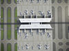
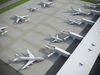
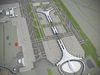
- AIRPORT
- building (terminal, gates)
- apron
- taxiway
- runway
- marking
SUPPORT - please send us a message 24/7
-
FREE - Product update with the latest GIS data
-
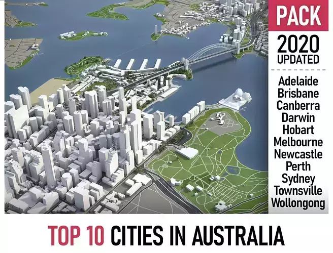
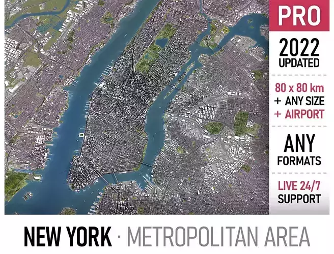
$199+ - Request any other city or area (same day delivery)
-
$99+ - Add terrain based on SRTM or LIDAR elevation data (3-5 LODs optimized)