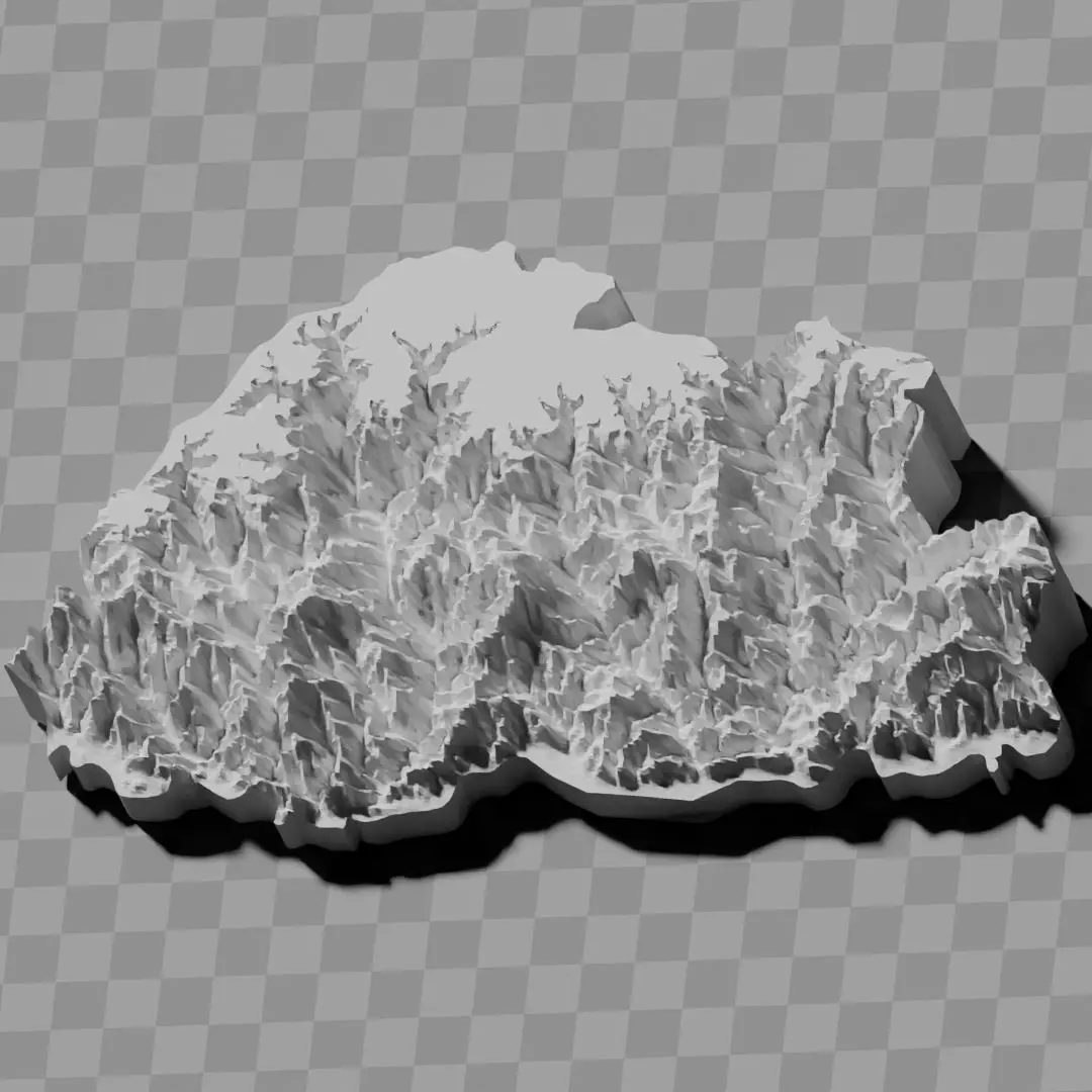
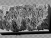
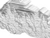
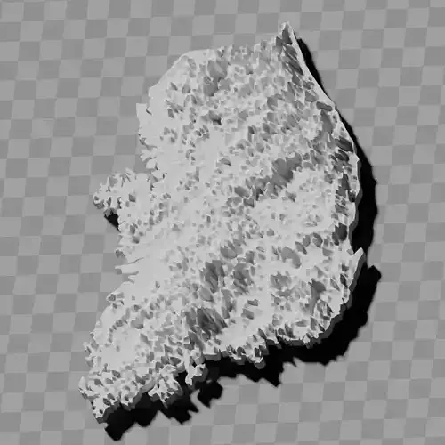
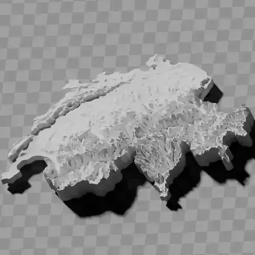
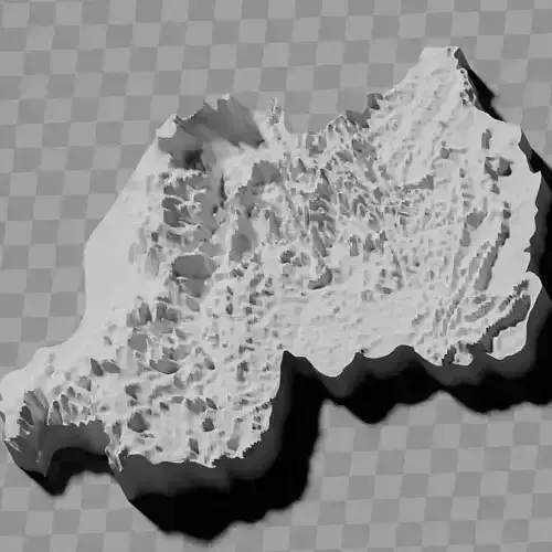
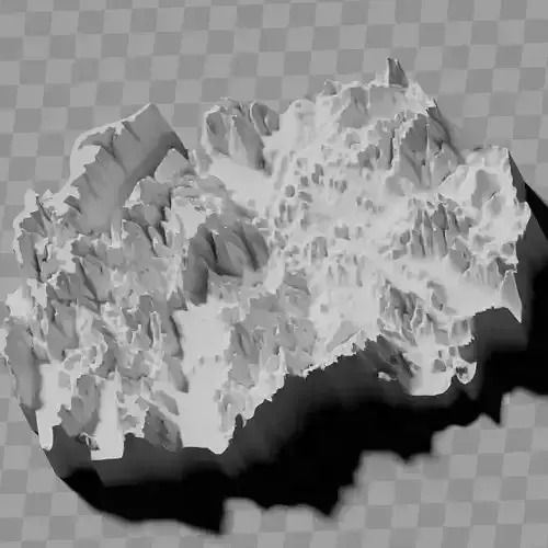
Bhutan topography relief maps
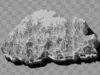
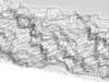
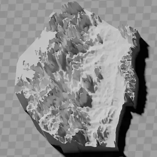
free because one of the models has a defect [see 2nd image]
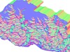
Includes several models:
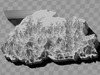
a cutout with exaggerated terrain / topography [Mercator-projection-distorted version + undistorted version]
simplified version(s) with reduced polygon counts via quadratic decimation
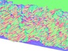
non-cutout versions of the tolopgy [Mercator-projection-distorted version + undistorted version]
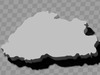
a simple 'prism' [flat-surfaced cutout of the country's boundaries with no topology features added]
'expanded' version which is a convex hull of the prism. You can use this as a 'base' to stabilize the model to avoid problems with small details breaking off if you try to 3d print it.
includes STL and OBJ formats. non-textured.
~~~~~~~~~~~~~~~~~~~~~~~~~~~~~~~~~~~~~~~~~~
འབྲུག་གི་ས་བབ་གསལ་སྟོན་ས་ཁྲ།
དཔེ་དབྱིབས་གཅིག་ལ་སྐྱོན་ཡོད་པས་རིན་མེད་ཡིན། [པར་རིས་གཉིས་པར་གཟིགས།]
དཔེ་དབྱིབས་འདྲ་མིན་ཁ་ཤས་ཚུད་ཡོད།
ས་བབ་ཆེ་རུ་བཏང་བའི་གཏུབ་མ། [མར་ཁ་ཊོར་འཕྲོ་འགྱུར་ཅན་དང་འཕྲོ་འགྱུར་མེད་པའི་ཐོན་རིམ་གཉིས།]
གྲུ་བཞི་ཉུང་སྒྲིལ་བརྒྱུད་ནས་ཟུར་གསུམ་གྲངས་ཉུང་དུ་བཏང་བའི་ལས་སླ་བའི་ཐོན་རིམ།
ས་བབ་ཅན་གྱི་གཏུབ་མ་མིན་པའི་ཐོན་རིམ། [མར་ཁ་ཊོར་འཕྲོ་འགྱུར་ཅན་དང་འཕྲོ་འགྱུར་མེད་པའི་ཐོན་རིམ་གཉིས།]
ལས་སླ་བའི་'ཟུར་གསུམ་'། [ས་བབ་ཁྱད་ཆོས་མེད་པའི་རྒྱལ་ཁབ་ཀྱི་ས་མཚམས་ཀྱི་ངོས་སྙོམས་གཏུབ་མ།]
ཟུར་གསུམ་གྱི་ཕྱི་སྒྲིལ་ཡིན་པའི་'རྒྱ་སྐྱེད་'ཐོན་རིམ། ཁྱེད་ཀྱིས་འདི་ 3D པར་འདེབས་བྱེད་སྐབས་ཞིབ་ཆའི་ཆ་ཤས་ཆུང་ཆུང་ཆག་པའི་དཀའ་ངལ་སྤོང་ཆེད་དཔེ་དབྱིབས་བརྟན་པོ་བཟོ་བར་'རྨང་གཞི་'ལྟར་བེད་སྤྱོད་བྱེད་ཆོག།
STL དང་ OBJ རྣམ་པ་ཚུད་ཡོད། ངོས་རིས་མེད།