eSwatini topographic raised relief maps collection / geography kit
Includes several models:
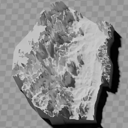
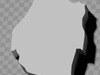
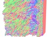
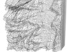
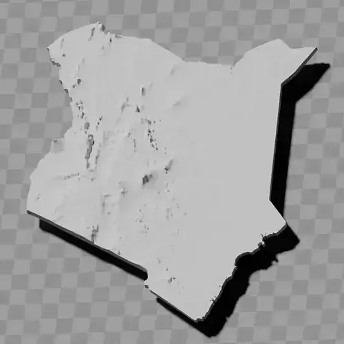
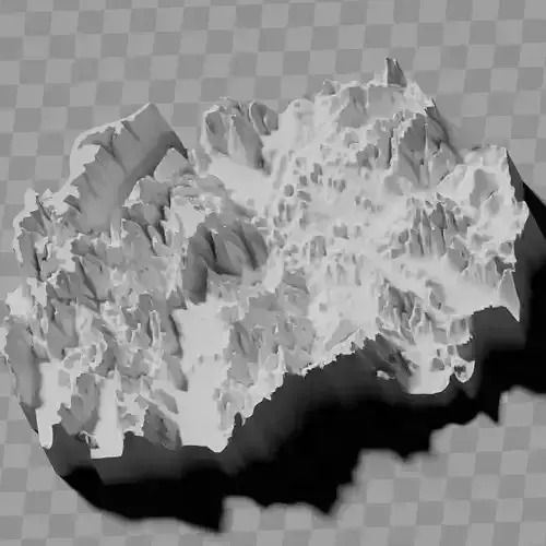
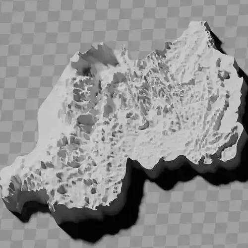
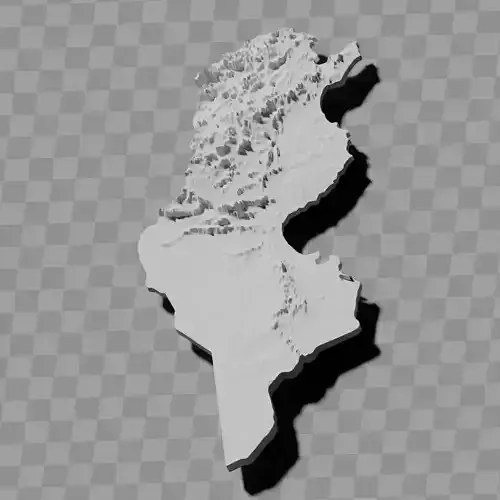
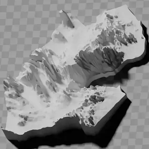
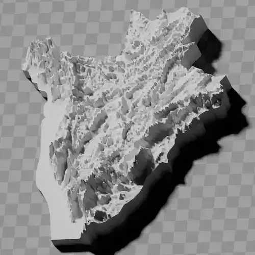
a cutout with exaggerated terrain / topography [Mercator-projection-distorted version + undistorted version]
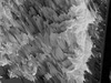
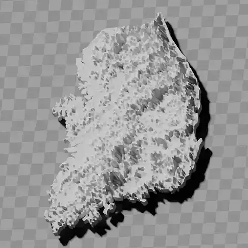
simplified version(s) with reduced polygon counts via quadratic decimation
non-cutout versions of the tolopgy [Mercator-projection-distorted version + undistorted version]
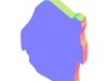
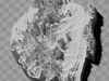
a simple 'prism' [flat-surfaced cutout of the country's boundaries with no topography features added]
'expanded' version which is a convex hull of the prism. You can use this as a 'base' to stabilize the model to avoid problems with small details breaking off if you try to 3d print it.
includes STL and OBJ formats. non-textured.
~~~~~~~~~~~~~~~~~~~~~~~~~~~~~~~~~~~~~~~~~~
Emasiko etophoghrafiki lemaSwati akhombisa timo tendzawo / lithulusi lwebumbangi bendzawo
Lifaka emamodeli lahlukene:
Limodeli lelinemikhono lelinekuvela kwetintsaba nekutala kwelive lokwengcisile [Luhlobo loluhleleke ngeMercator-projection + lolungakahleleleki]
Tinhlobo letilula(to) letinemasigodzi lamancane ngekwehlisa sikwele
Tinhlobo letingenayo imikhono yekutala kwelive [Luhlobo loluhleleke ngeMercator-projection + lolungakahleleleki]
'Prism' lelilula [Limodeli lelinemkhawulo welive lelingenawo umkhondvo wekutala kwelive]
Luhlobo 'lolwenabile' loluyinhloko yeprismu. Ungalusebentisa njengesisekelo sekwenta limodeli libe ngumalume kuvikela tinkinga letingabakhona uma utama kuliphrinta nge-3D.
Lifaka tinhlobo te-STL ne-OBJ. Alinako kuphindaphindvwa kwesakhiwo.