1/4
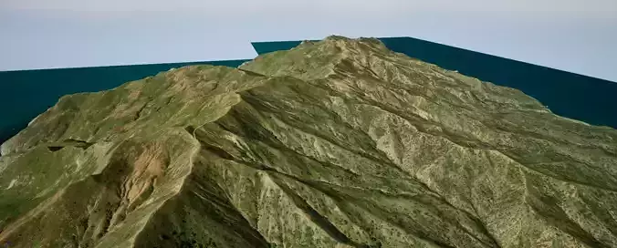
Landscape of Santa Catalina Island, California, south of Los Angeles.The island is created on the basis of a real map of heights with a grid of 1 m. When creating the terrain, the elevation map was chosen so that you can edit the terrain below the minimum and above the maximum. You can create a unique underwater world below the water level and also make the mountains higher.The island was created on a scale of 1: 1. It is 28x20 km.A simple material in the form of a satellite image is superimposed on the relief. This will help you navigate the island, because it is very large. For relief, you can create your own variety of material that you invent.The landscape has no additional 3D models, no vegetation, no rocks to reduce the archive. You can create your own world on it.This project will expand the possibilities of your creativity.
- You have to create a new project on the Unreal Engine 5.
- Unzip this archive to your new project in the Content folder.
- Go to the Maps folder and run the Santa Catalina.umap file
- Activate all terrain files.
REVIEWS & COMMENTS
accuracy, and usability.


