Our website uses cookies to collect statistical visitor data and track interaction with direct marketing communication / improve our website and improve your browsing experience. Please see our Cookie Notice for more information about cookies, data they collect, who may access them, and your rights. Learn more
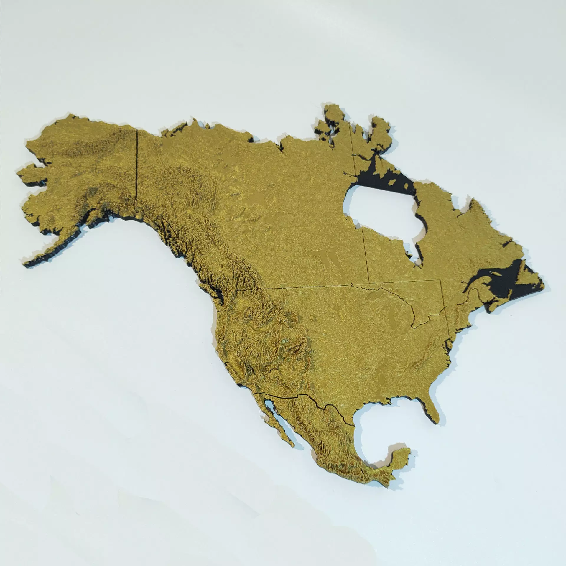
Topographical map of North America with borders

Topographical map of North America with borders 3D print model

Description

A relief map of North America ready to print.

The file is split in 3 parts to fit a 30cm printer, resulting in an 67x51cm print, or you can scale it down to something more manageable.

If you want to print it all in one go, a solid model is also included.

Elevation maps based off of SRTM data and presented in Mercator projection. The model includes terrain up to 71° North.

For best results, switch between two contrasting filament colors after the base is finished. A coat of protective spray is recommended if it will touched repeatedly.

Item rating
0 0
Topographical map of North America with borders
$30.00
 
Custom License 
Topographical map of North America with borders
$30.00
 
Custom License 
Response 22% in 48.0h

3D Model formats

Format limitations
Native
Exchange
  • Stereolithography (.stl) (5 files)940 MB

3D Model details

  • Ready for 3D Printing
  • Publish date2022-09-23
  • Model ID#4007052
Chat